Highlighted Media
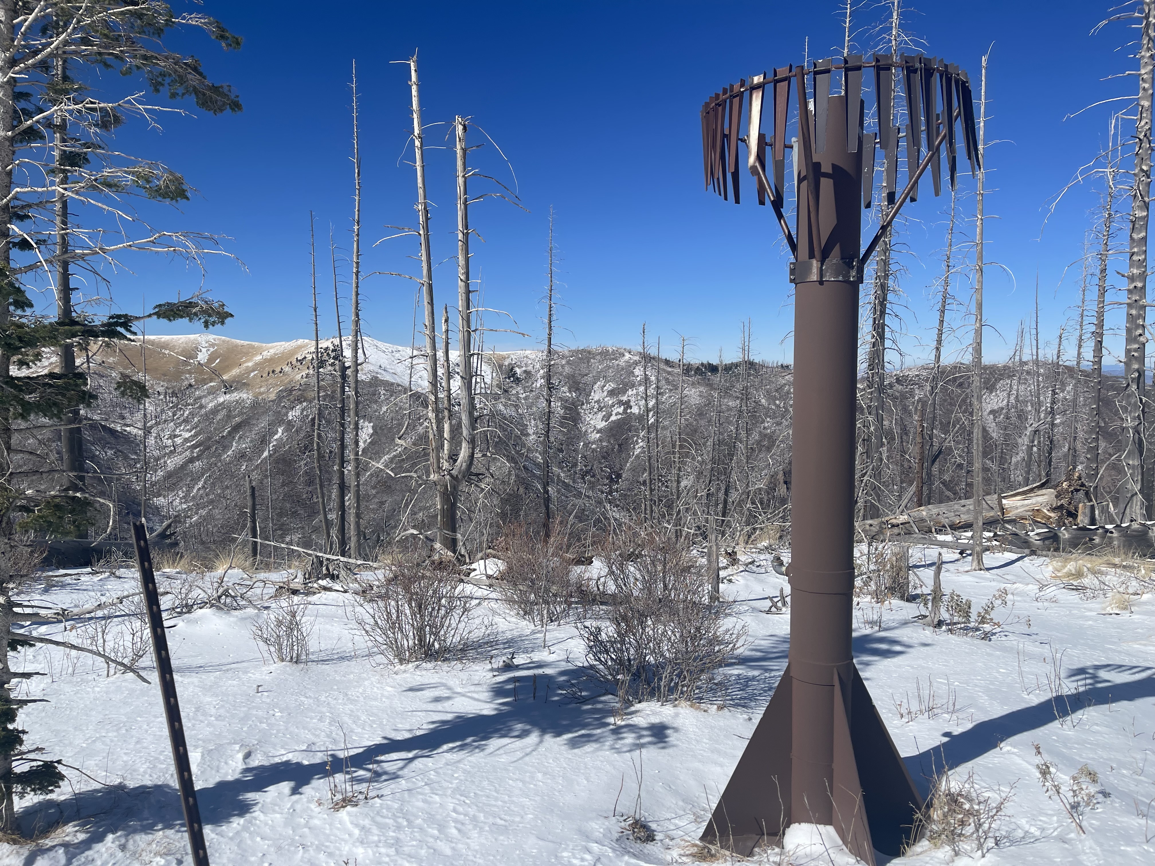
The Blue Front Fire, located on the Lincoln National Forest, was detected Monday, October 28, 2024. The Fire is approximately 4 miles west of Alto, 9 miles northwest of Ruidoso, located in the Blue 2 wildfire footprint in the White Mountain Wilderness. Smokey Bear and Sacramento Hotshots, along with a Type 1 helicopter and lead plane, initially responded to the fire. Unseasonably warm weather and high winds have played a factor in strategies and air support capabilities. Firefighters continue fireline construction, extinguishing areas of heat on fire edges, and conducting full-suppression tactics.
The Blue Front fire is in heavy dead and down timber, and close to the 2024 Blue 2 burn footprint. The terrain is rough and remote and has made it challenging for firefighters to get in or out of the incident.
Evacuations: None at this time. Homes in the Bonito Lake area were in a ‘ready’ status from the Lincoln County Emergency Management. ‘Ready’ status means that residents should be prepared to evacuate. Please pay close attention to emergency announcements. You can sign up for emergency text notifications from Lincoln County at https://www.onsolve.com/landing/sign-up-for-codered-emergency-alerts/.
| Current as of | Wed, 11/20/2024 - 12:26 |
|---|---|
| Incident Time Zone | America/Denver |
| Incident Type | Wildfire |
| Cause | Unknown |
| Date of Origin | |
| Incident Commander | Roy Hough ICT4 USFS Lincoln NF |
| Coordinates |
33° 25' 19'' Latitude
-105° 47' 48
'' Longitude
|
| Total Personnel: | 7 |
|---|---|
| Size | 323 Acres |
| Percent of Perimeter Contained | 100% |
| Fuels Involved | Grass, shrubs, heavy dead/down fuel |
| Significant Events | Minimal fire behavior. |
| Projected Incident Activity |
No new fire growth, weather observations include colder temps and expected snow in high elevations. |
|---|
| Weather Concerns | Southwest winds 20- 26 mph. Gust up to 46 mph increasing to 50 plus mph |
|---|

 InciWeb
