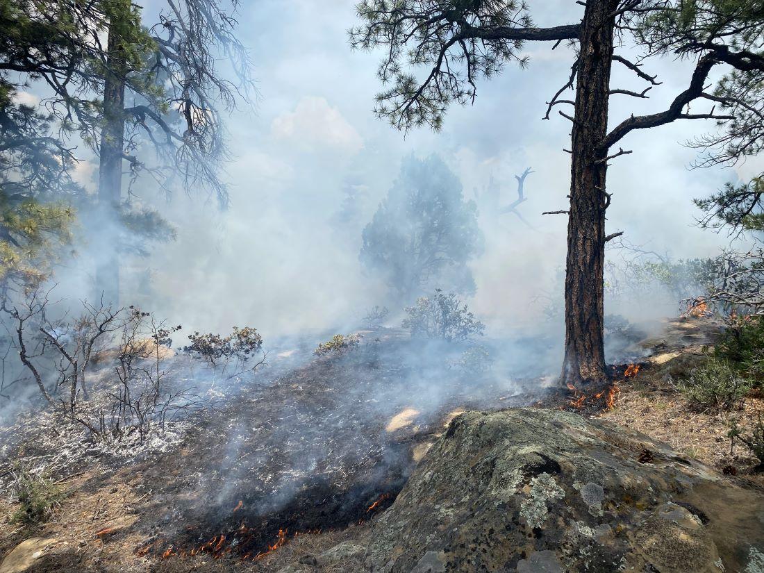
Fire crews are working to suppress the lightning-caused Mestenas Canyon Fire, which is named after the canyon its burning deep within. It’s about 10 miles southwest of Dulce, N.M., on the Jicarilla Ranger District and two miles north of Highway 64.
Due to rocky, steep terrain and numerous snags on the canyon bottom, fire crews will use suppression action points to contain the fire as it spreads. Efforts may include cutting line on the fire’s edge or using backfire off existing roads to reduce fuels ahead of approaching flames.
There may be limited visibility on Highway 64 due to smoke.
| Current as of | Wed, 09/11/2024 - 16:15 |
|---|---|
| Incident Time Zone | America/Denver |
| Incident Type | Wildfire |
| Cause | Lightning |
| Date of Origin | |
| Location | Mestenas Canyon (2 miles north of mile marker 110 on Highway 64) |
| Incident Commander | Lorenzo Velasquez |
| Coordinates |
36° 45' 29'' Latitude
-107° 15' 38
'' Longitude
|
| Total Personnel: | 15 |
|---|---|
| Size | 837 Acres |
| Percent of Perimeter Contained | 100% |
| Estimated Containment Date | 8/5/24 |
| Fuels Involved |
|
| Significant Events | Observed fire behavior is minimal, flanking, backing, creeping. |
| Planned Actions |
Hold Forest Road 312, 312N and other roads. |
|---|---|
| Projected Incident Activity |
|
| Weather Concerns | Increasing temperatures and low relative humidity. |
|---|

 InciWeb