
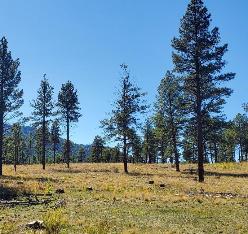
Crews completed ignitions on Oct 4. They have since implemented a long-term patrol and monitor plan. Minimal smoke can be observed as the fire continues to consume fuels on the forest floor.
The 1,009-acre American Creek Prescribed Fire (map) is part of the Rio Tusas-Lower San Antonio Landscape Project, which aims to restore the forest health throughout nearly half of the Tres Piedras Ranger District.
More Information
| Current as of | Thu, 10/24/2024 - 19:43 |
|---|---|
| Incident Time Zone | America/Denver |
| Incident Type | Prescribed Fire |
| Date of Origin | |
| Location | Off Forest Road 42/New Mexico State Road 111 |
| Coordinates |
36° 36' 58'' Latitude
-106° 05' 13
'' Longitude
|
| Size | 950 Acres |
|---|