
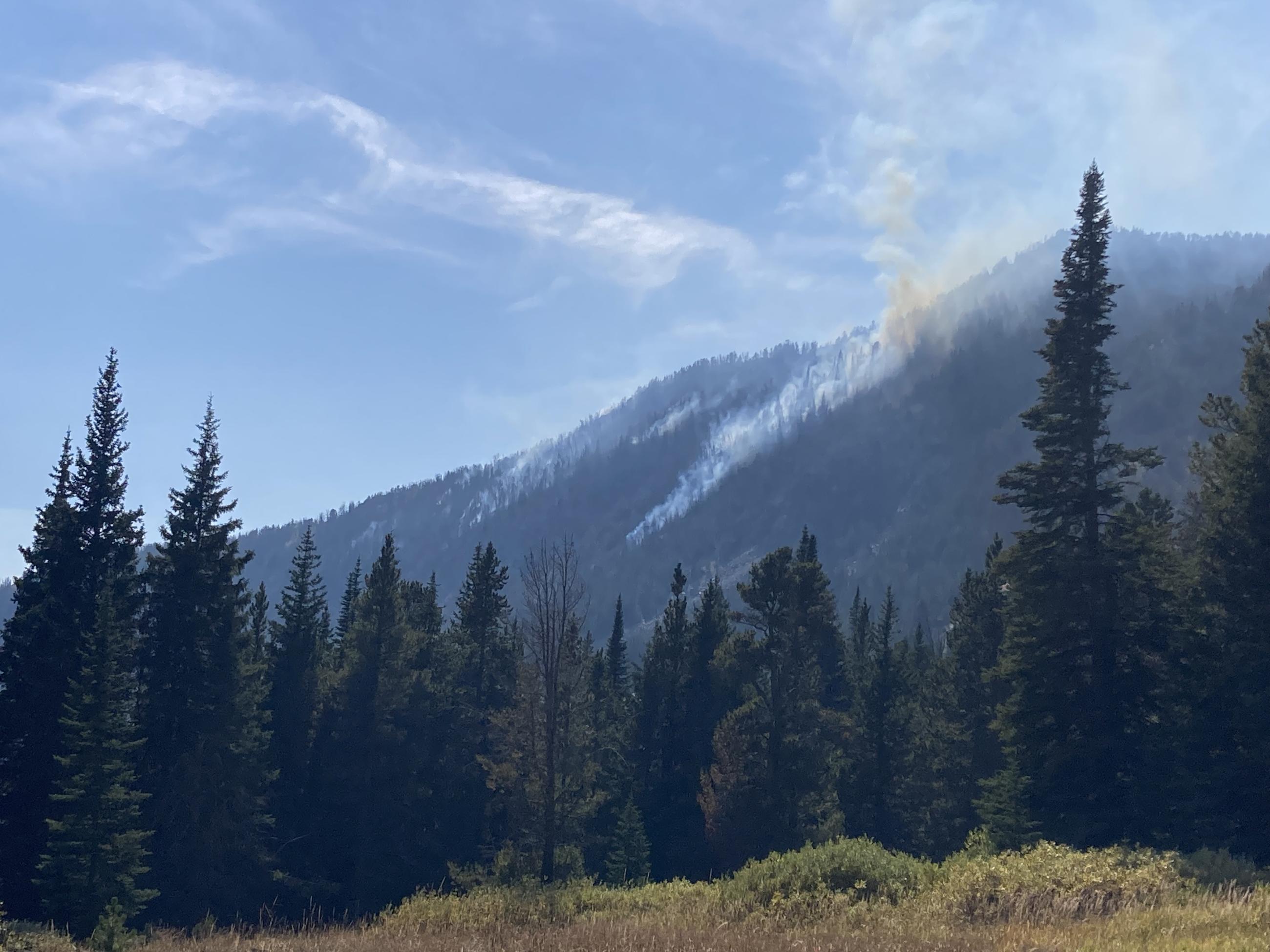
The Pedro Mine Fire, located nine miles east of Sheridan in the Mill Creek area, is burning in steep, rocky terrain with little to no access for firefighters. The area contains a large concentration of standing dead trees (“snags”) that pose challenges to ensuring firefighter safety and in responding to potential medical emergencies, jeopardizing the well-being of firefighters and other responders.
Fire managers from the Forest, working in collaboration with local Madison County officials have identified and prioritized critical values at risk in the fire area. Firefighting efforts will focus available resources on the protection of structures on private inholdings, active mining claims, and Branham Lakes Campground. All these values are approximately .1-.6 miles from the fire.
There are several factors involved in making wildfire management decisions. These factors include, firefighter safety, resource availability and threats to public safety and property. As well as, terrain, fire behavior, fire season outlook and modeling, and past prescribed fire units and vegetation management projects in the area. Fire managers are strategic in their approach and continually reassess conditions and alter management strategies to protect critical values.
| Current as of | Thu, 10/24/2024 - 21:37 |
|---|---|
| Incident Time Zone | America/Denver |
| Incident Type | Wildfire |
| Cause | Lightning |
| Date of Origin | |
| Location | 9 miles east of Sheridan |
| Incident Commander | Kyle Errecart |
| Coordinates |
45° 29' 53'' Latitude
--112° 0' 09
'' Longitude
|
| Total Personnel: | 0 |
|---|---|
| Size | 150 Acres |
| Significant Events | Operational objectives are 100% complete.
|
| Remarks |
The overall fire suppression strategy consists of 33% monitor, 34% confine, and 33% point zone protection. Operational objectives are 100% complete.
|
|---|