
The Upper Peninsula Fire and Aviation Management Unit is preparing for prescribed fire operations on the Hiawatha and Ottawa National Forests. This includes 7,042 acres on the East Zone and 3,248 acres on the West Zone of the Hiawatha National Forest, and 587 acres on the Ottawa National Forest.
These prescribed fires reduce risk to the public by removing hazardous vegetation to mitigate wildfires and prevent loss of property. They also help to re-establish fire’s positive role in local ecosystems, increase native plant regeneration, and improve wildlife habitat and forest health.
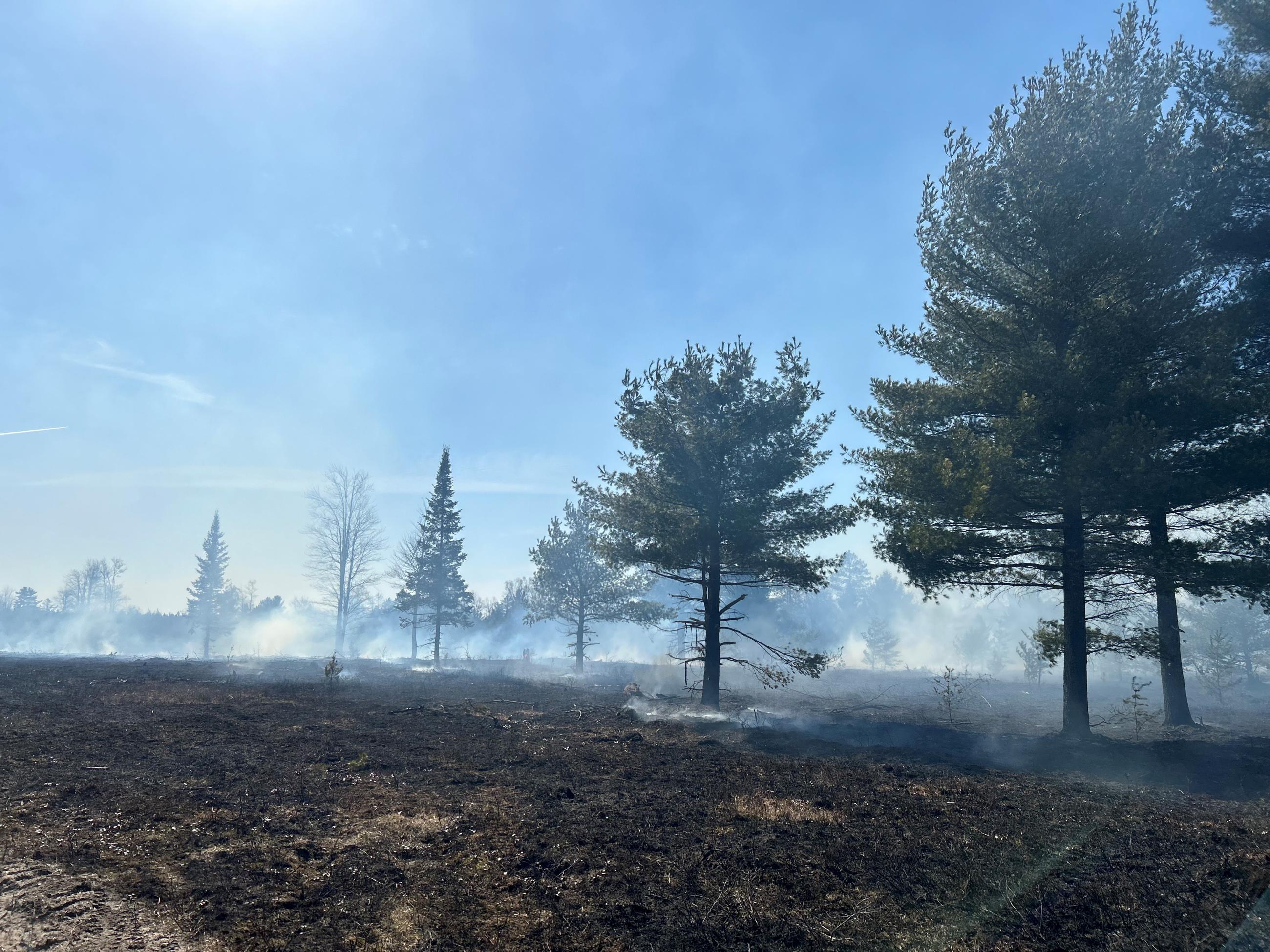
During active burning, smoke and flames may be visible from roads and in areas downwind of the burn site. Go to https://fire.airnow.gov/ for information about air quality.
If you wish to be notified about prescribed fires in your vicinity, contact your nearest Ranger District office https://www.fs.usda.gov/r09/hiawatha/offices .
An online map is available at https://usfs.maps.arcgis.com/apps/instant/sidebar/index.html?appid=0b202f990a244b669a85acff82bc66c5
Hiawatha National Forest West Zone Planned Prescribed Fire Projects
Project Name Acres
8 Mile #3 89
8 Mile #4 98
Au Train 202
Baldy Lake 247
Beaton Boot PU 16 31
Dutch Mill #4 166
Dutch Mill #5 367
East Lake #1 577
East Lake #2 65
East Lake #3 61
East Lake #4 12
East Point #1 48
East Point #2 72
East Point #3 7
East Point #4 9
East Point #5 30
Highbridge #1 129
Indian River #2 88
Indian River #3 65
Jack Pine Lodge 54
Muleshoe PU 20 15
Paquette 94
Pine Plains #4 21
Pine Plains #5 81
Pine Plains #6 79
Pine Plains #7 87
Stonington Farm 32
Stueben Lake #1 100
Tombolo 322
The Upper Peninsula Fire and Aviation Management Unit is preparing for prescribed fire operations on the Hiawatha and Ottawa National Forests. This includes 7,042 acres on the East Zone and 3,248 acres on the West Zone of the Hiawatha National Forest, and 587 acres on the Ottawa National Forest.
These prescribed fires reduce risk to the public by removing hazardous vegetation to mitigate wildfires and prevent loss of property. They also help to re-establish fire’s positive role in local ecosystems, increase native plant regeneration, and improve wildlife habitat and forest health.
During active burning, smoke and flames may be visible from roads and in areas downwind of the burn site. Go to https://fire.airnow.gov/ for information about air quality.
If you wish to be notified about prescribed fires in your vicinity, contact your nearest Ranger District office https://www.fs.usda.gov/r09/hiawatha/offices .
An online map is available at https://usfs.maps.arcgis.com/apps/instant/sidebar/index.html?appid=0b202f990a244b669a85acff82bc66c5
Hiawatha National Forest West Zone Planned Prescribed Fire Projects
Project Name Acres
8 Mile #3 89
8 Mile #4 98
Au Train 202
Baldy Lake 247
Beaton Boot PU 16 31
Dutch Mill #4 166
Dutch Mill #5 367
East Lake #1 577
East Lake #2 65
East Lake #3 61
East Lake #4 12
East Point #1 48
East Point #2 72
East Point #3 7
East Point #4 9
East Point #5 30
Highbridge #1 129
Indian River #2 88
Indian River #3 65
Jack Pine Lodge 54
Muleshoe PU 20 15
Paquette 94
Pine Plains #4 21
Pine Plains #5 81
Pine Plains #6 79
Pine Plains #7 87
Stonington Farm 32
Stueben Lake #1 100
Tombolo 322
| Current as of | Tue, 05/20/2025 - 16:22 |
|---|---|
| Incident Type | Prescribed Fire |
| Incident Commander | Upper Peninsula Fire and Aviation Management Unit - Hiawatha National Forest |
| Incident Description | These prescribed fires reduce risk to the public by removing hazardous vegetation to mitigate wildfires and prevent loss of property. They also help to re-establish fire’s positive role in local ecosystems, increase native plant regeneration, and improve wildlife habitat and forest health. |
| Coordinates |
45° 56' 15.7'' Latitude
-86° 57' 49.7
'' Longitude
|
| Weather Concerns | Managers follow strict prescription guidelines for conducting prescribed fires and take into consideration environmental factors such as fuel moisture, temperature, humidity, smoke dispersion, and wind. If any environmental conditions are not within limits, or objectives may not be met, the burn will be postponed. |
|---|