

Highlighted Media
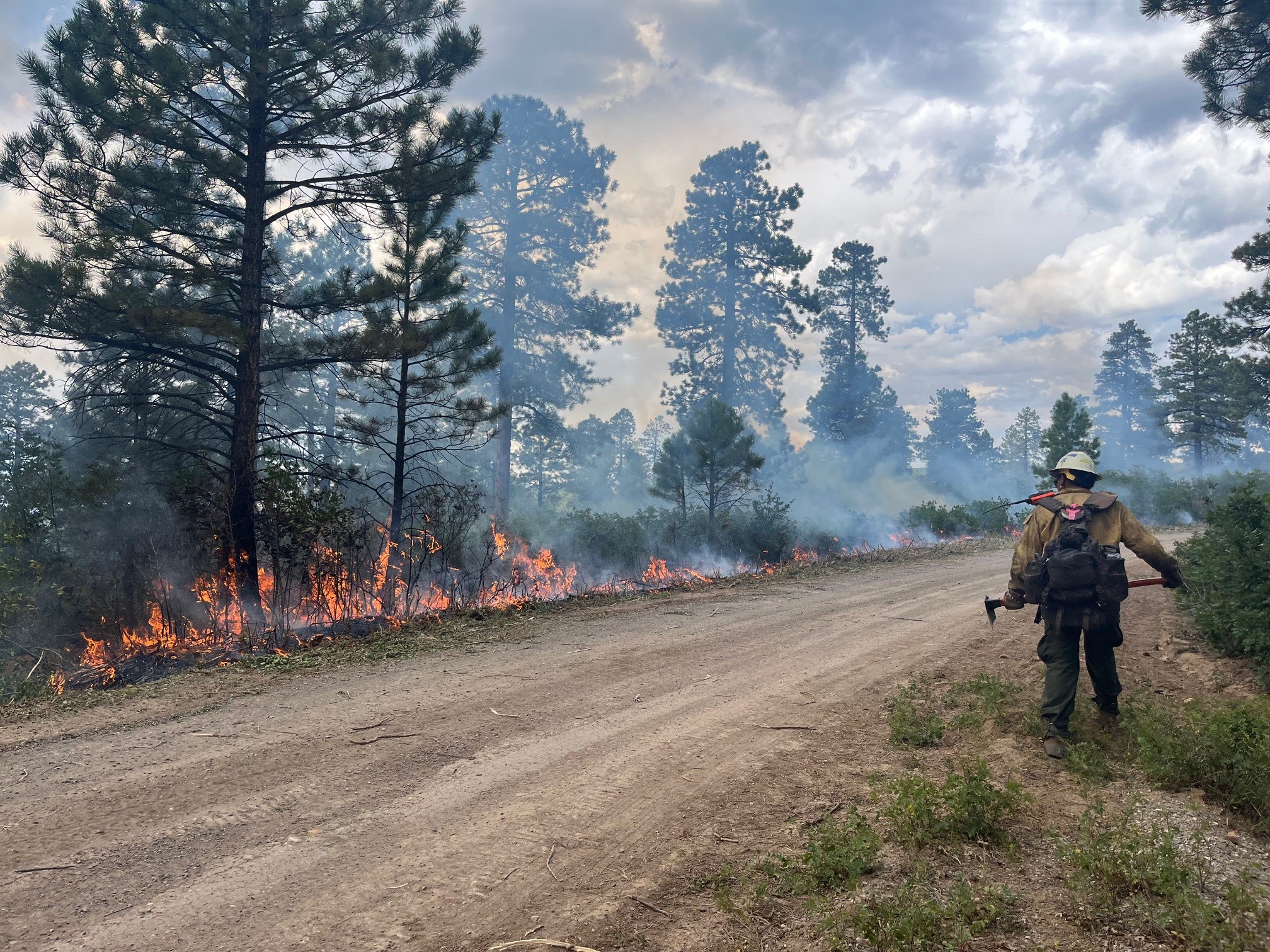
A firefighter monitors fire activity on the Bucktail Fire during hand and aerial ignitions.
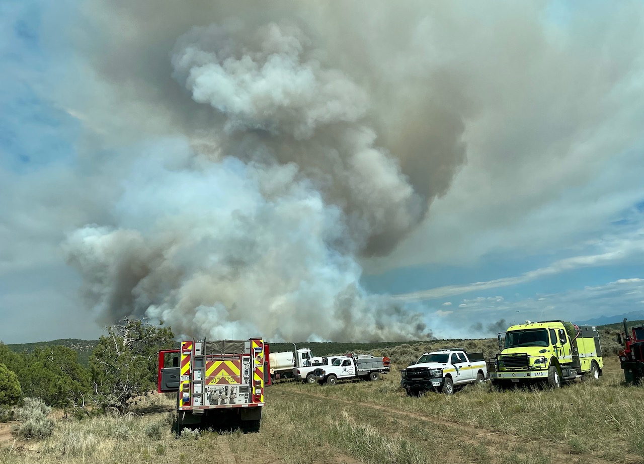
Fire engines and agency vehicles staged near the Bucktail fire on 8/1/24
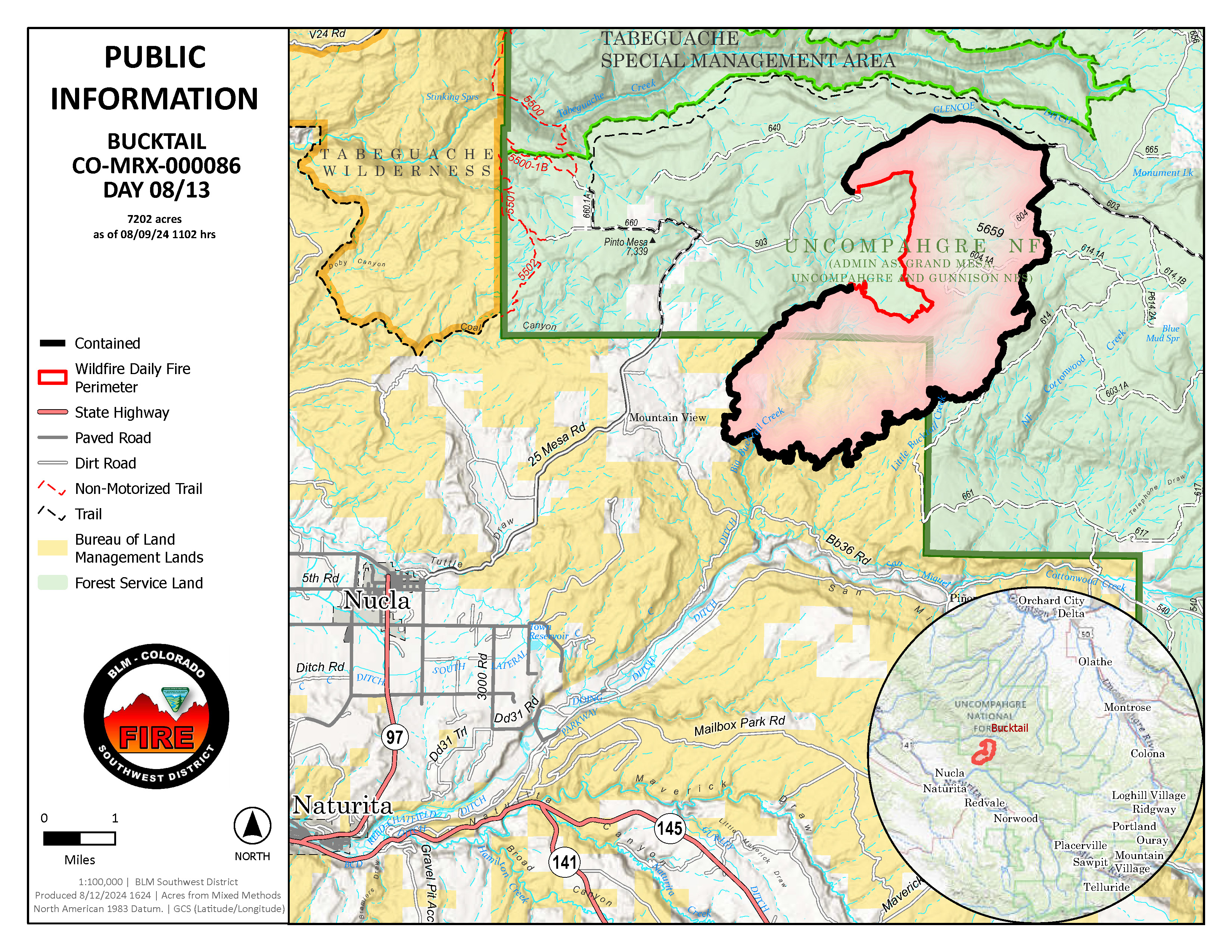
Fire perimeter map of the buckhorn fire on August 13, 2024
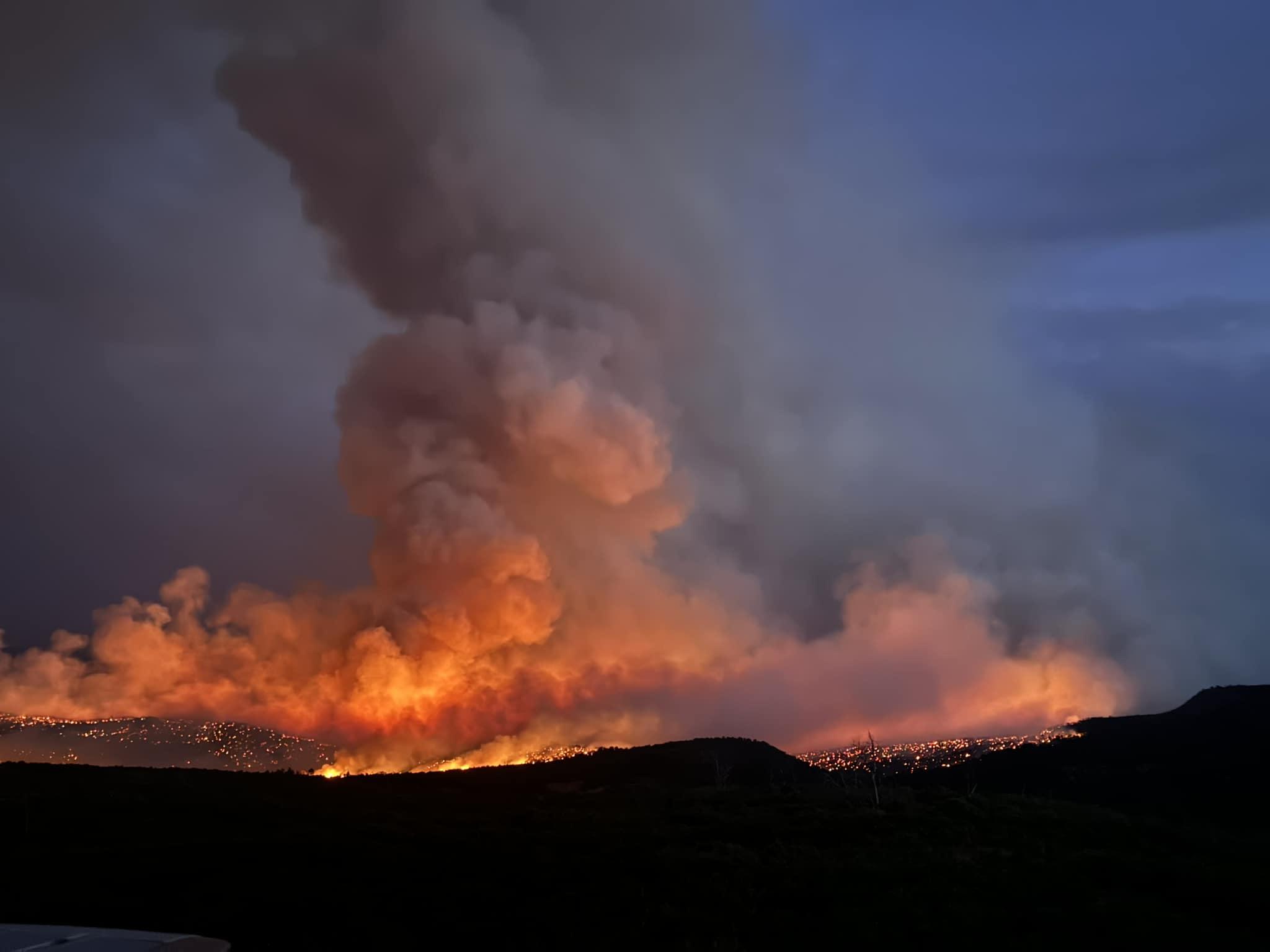
At approximately 11:20 a.m. Thursday, August 1, the Bucktail Fire was reported on private land in the Bucktail drainage, about 6.5 miles northeast of Nucla near County Road 25. The fire quickly spread onto BLM and, later, USFS ownerships. The fire was mapped by the DFPC Multi-Mission Aircraft (MMA) at 111 acres in size at approximately 1:15 p.m. and at 1,760 acres by 8:00 p.m. It is burning in pinyon pine, juniper and oak brush fuel types. When it was first reported, it was exhibiting extreme fire behavior largely driven by slope and fuel.
Multiple firefighting resources aggressively responded during initial attack including eleven aircraft: one very large, four large, and four single-engine air tankers, two helicopters; five engines including one from Telluride and one from the Nucla Naturita Fire Department, one 16-person Job Corp Buzzard Creek hand crew, and Montrose County dozers.
There are road and area closures in place due to this fire. See the closures tab for more information, including maps.
There are no structures threatened and no evacuations in effect.
The Type 3 incident command transitioned to a local Type 4 organization on August 14, 2024.
| Current as of | Thu, 08/15/2024 - 11:23 |
|---|---|
| Incident Time Zone | America/Denver |
| Incident Type | Wildfire |
| Cause | Undetermined |
| Date of Origin | |
| Location | 5 miles NE of Nucla, CO |
| Incident Commander | Everett Phillips IC3 & Patrick Blair IC3(t) |
| Incident Description | Wildfire |
| Coordinates |
38° 18' 24'' Latitude
-108° 27' 19
'' Longitude
|
| Size | 7,202 Acres |
|---|---|
| Percent of Perimeter Contained | 83% |
| Estimated Containment Date | 9/30/2024 |
| Weather Concerns | . |
|---|