Highlighted Media


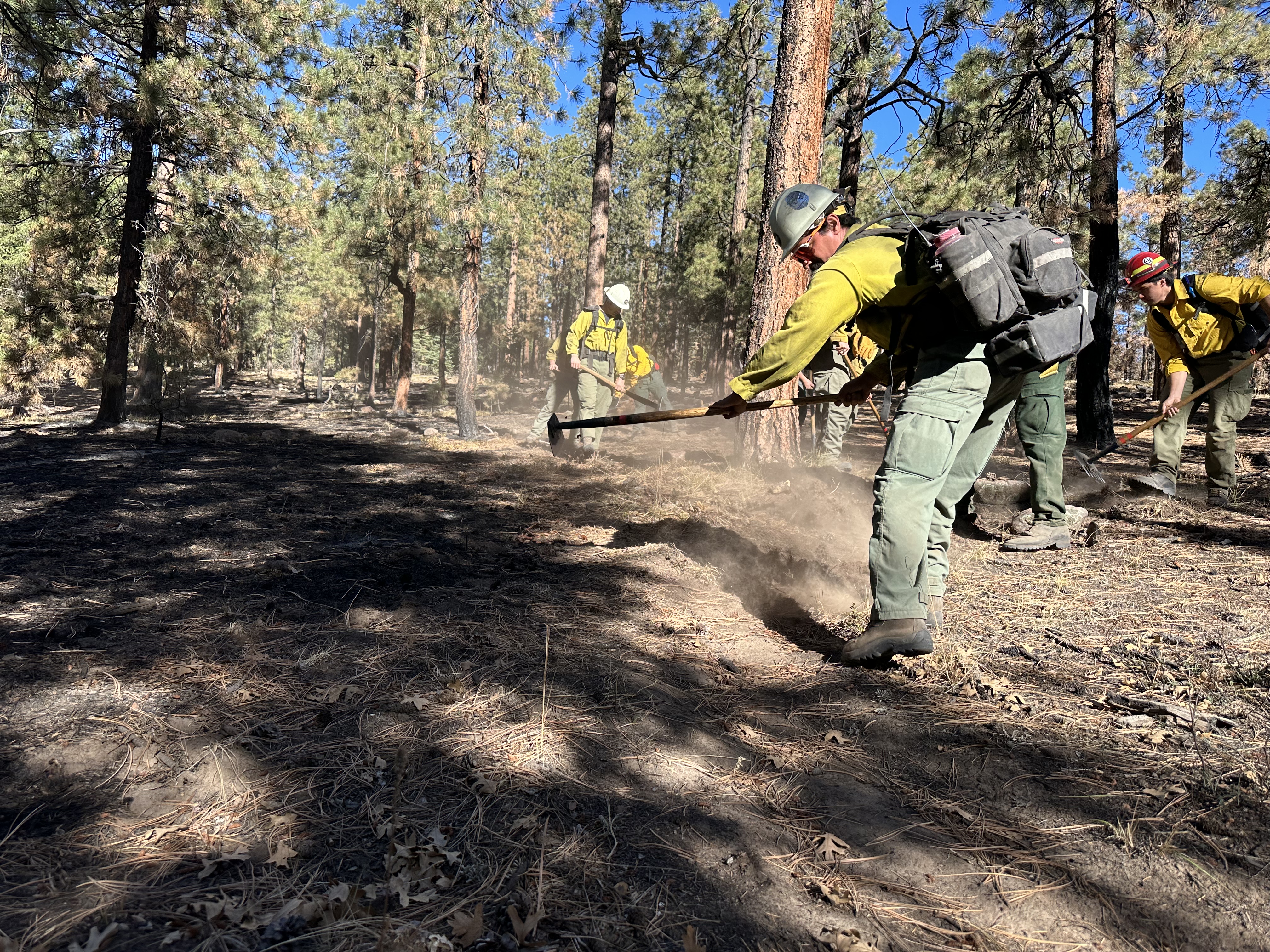
Firefighters repairing fireline no longer needed. Nov. 13, 2023. This was handline, dug as part of firefighting actions. Now the crew is using hand tools to flatten berms of earth and place organic matter over the fireline.


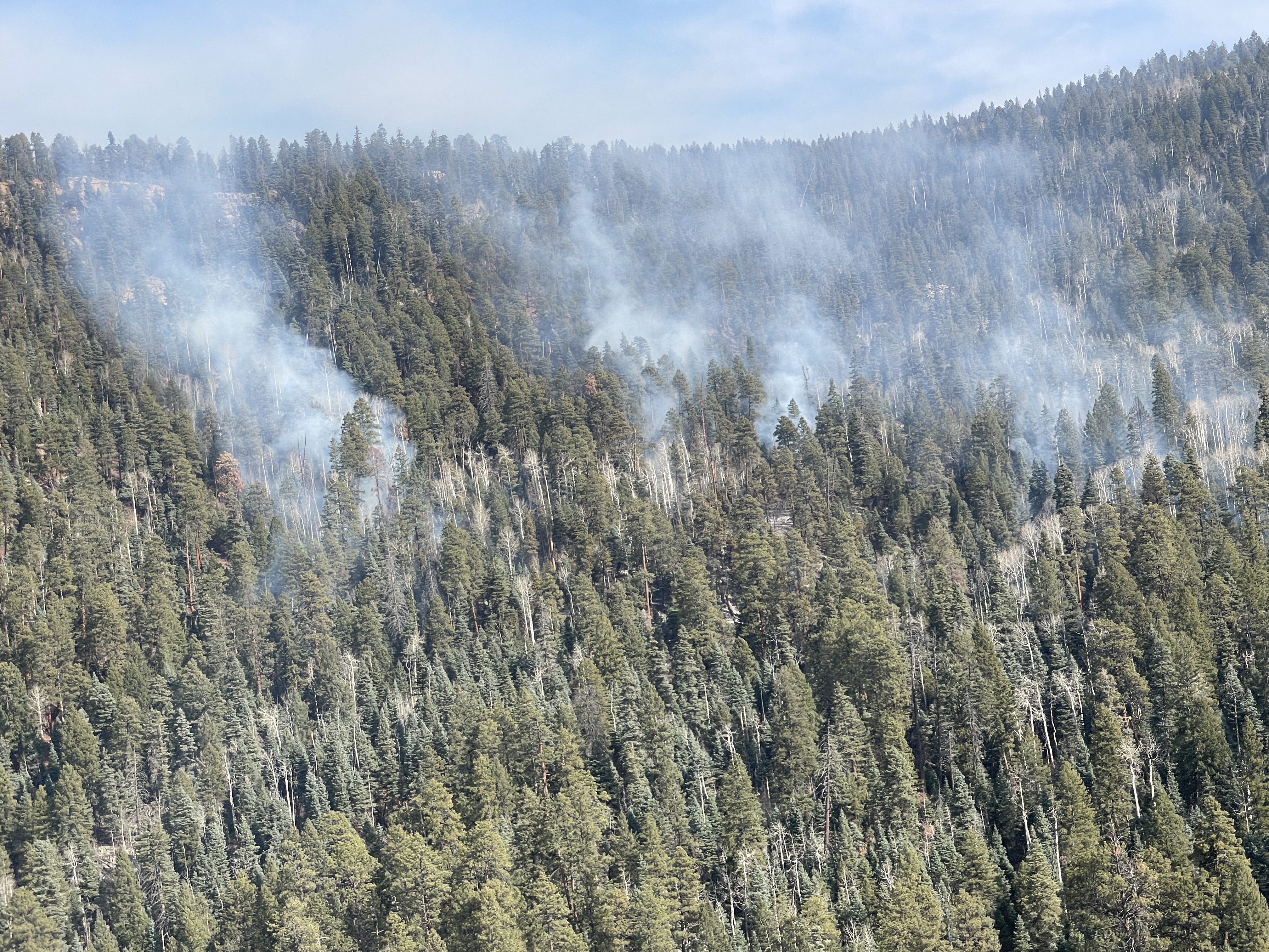
Trail Springs Fire Aerial View above West Devil Creek. Nov. 15, 2023
The Trail Springs Fire is located on the San Juan National Forest, west of Pagosa Springs. The lightning-caused wildfire is in steep, thickly-forested terrain above West Devil Creek, about three miles northwest of Chris Mountain. Rain and snow during Thanksgiving week have dampened fire behavior. Interior pockets of vegetation continue to smolder and burn out, but no significant fire activity is expected. A second round of moisture is anticipated over the Thanksgiving holiday.
The San Juan National Forest Pagosa Ranger District is now managing this, the Bear Creek, and the Mill Creek 2 fires. Fire managers have used tactics that protect values while developing fire control lines with the best probability of success. An area closure is in effect. See a map and full details under the closures tab of this website.
This InciWeb page will not be updated unless significant activity occurs.
| Current as of | Tue, 11/21/2023 - 12:17 |
|---|---|
| Incident Type | Wildfire |
| Cause | Lightning |
| Date of Origin | |
| Location | 12 miles Northwest of Pagosa Springs CO |
| Incident Commander | Type 4, Incident Commander Levi Sensenig; ICT Brock Fortson |
| Incident Description | Wildfire |
| Coordinates |
37° 18' 1.7526'' Latitude
-107° 14' 46.9068
'' Longitude
|
| Total Personnel: | 20 |
|---|---|
| Size | 1,358 Acres |
| Percent of Perimeter Contained | 43% |
| Fuels Involved | Timber (litter and understory) |
| Significant Events | Minimal fire behavior with creeping, smoldering, and backing observed. |
| Planned Actions |
Continue suppression repair. Suppression forces will patrol, observe fire behavior and mop up where needed. |
|---|---|
| Projected Incident Activity |
Light winds and cooler temperatures are predicted, therefore fire growth should be minimal. |
| Weather Concerns | Rain and snow fell during the week of November 19th and more is anticipated over the Thanksgiving holiday. |
|---|

 InciWeb