
Highlighted Media
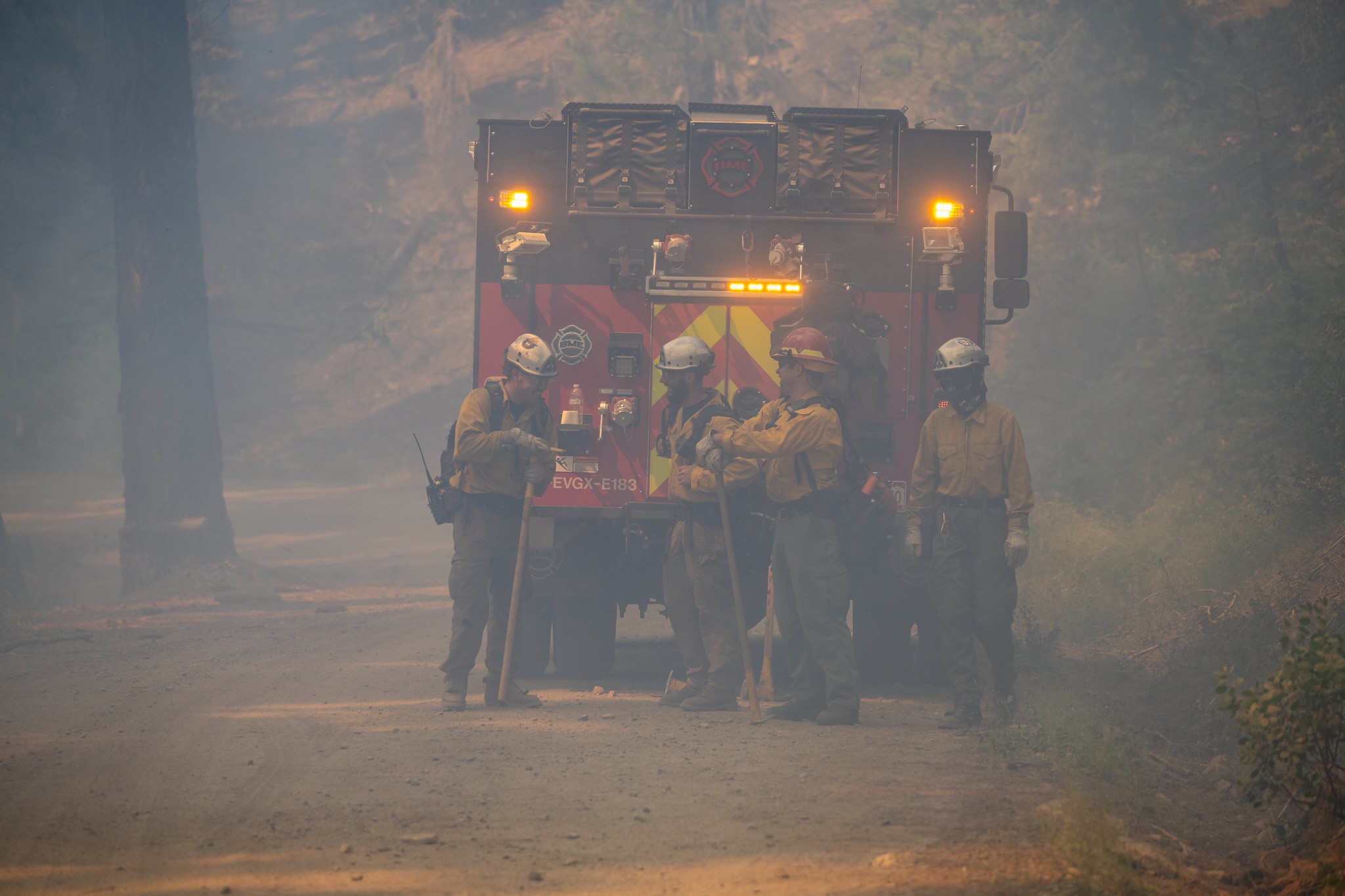
Four firefighters stand near an engine in smokey conditions on the Sheering Fire on July 6, 2024.
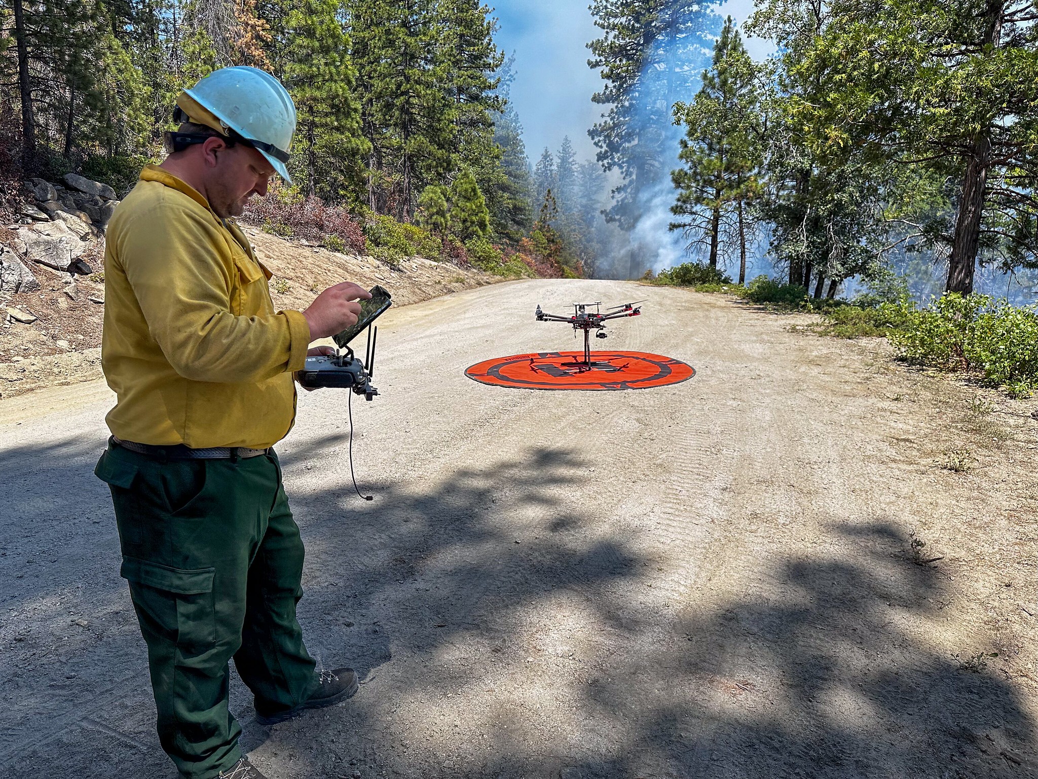
On July 6, 2024, a firefighter utilized Unmanned Aerial System (drone) technology to detect heat signatures within the fire perimeter.
The Sheering Fire, located between Duckwall & Bell Mountain near Cherry Lake, started on June 24, 2024, at approximately 7:19 pm. It was one of several fires that resulted from an unusual lightning event that moved through the area that day. In addition to the Sheering Fire, two fires were ignited in the Clavey River drainage, where the 2013 Rim Fire started. Because of their location and the known potential for those fires to become large quickly, they were the top priority for fire resources, including air support. They were fully contained, and then additional resources moved to the Sheering Fire which has burned with low to moderate intensity and a slow rate of spread.
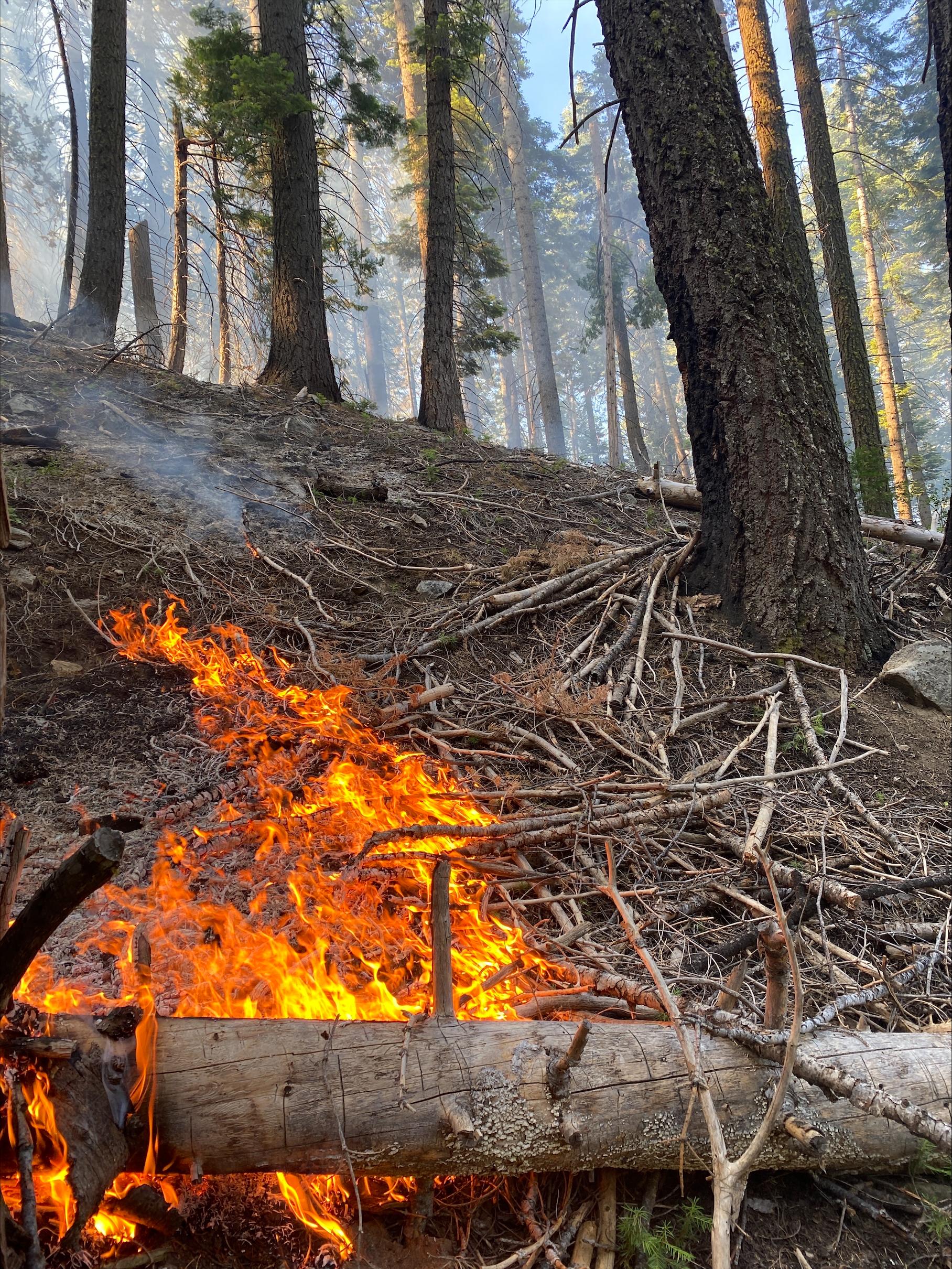
Since the beginning of the Sheering Fire, fire managers have maintained a full suppression strategy and public and firefighter safety remain the highest priority. It is located within the 2013 Rim Fire footprint and has excessive snags, hazard trees, and dead and down fuel, making it a higher risk for firefighter safety when performing suppression activities. Due to the fire’s location, its slow rate of spread, and its mostly low-intensity fire behavior, fire managers have been able to utilize existing roads and natural features for containment lines in several locations around the fire perimeter, protecting both firefighters and resources in the area. Burn scars from the Quarry Fire (2023), Bone Fire (2023), and Rosasco Fire (2019) provide secondary barriers to East, West, and South.
The Sheering Fire, located between Duckwall & Bell Mountain near Cherry Lake, started on June 24, 2024, at approximately 7:19 pm. It was one of several fires that resulted from an unusual lightning event that moved through the area that day. In addition to the Sheering Fire, two fires were ignited in the Clavey River drainage, where the 2013 Rim Fire started. Because of their location and the known potential for those fires to become large quickly, they were the top priority for fire resources, including air support. They were fully contained, and then additional resources moved to the Sheering Fire which has burned with low to moderate intensity and a slow rate of spread.
Since the beginning of the Sheering Fire, fire managers have maintained a full suppression strategy and public and firefighter safety remain the highest priority. It is located within the 2013 Rim Fire footprint and has excessive snags, hazard trees, and dead and down fuel, making it a higher risk for firefighter safety when performing suppression activities. Due to the fire’s location, its slow rate of spread, and its mostly low-intensity fire behavior, fire managers have been able to utilize existing roads and natural features for containment lines in several locations around the fire perimeter, protecting both firefighters and resources in the area. Burn scars from the Quarry Fire (2023), Bone Fire (2023), and Rosasco Fire (2019) provide secondary barriers to East, West, and South.
| Current as of | Thu, 08/29/2024 - 12:41 |
|---|---|
| Incident Time Zone | America/Los_Angeles |
| Incident Type | Wildfire |
| Cause | Lightning |
| Date of Origin | |
| Location | Stanislaus National Forest, Tuolumne County |
| Incident Commander | Type 4 Team Andy Bellar-Mariscal, Incident Commander |
| Coordinates |
38° 2' 40'' Latitude
-119° 59' 47
'' Longitude
|
| Total Personnel: | 90 |
|---|---|
| Size | 528 Acres |
| Percent of Perimeter Contained | 100% |
| Estimated Containment Date | 07/31/2024 |
| Fuels Involved | Timber (Litter and Understory), excessive snags and hazard trees |
| Significant Events | Minimal backing, creeping and smoldering. |
| Planned Actions |
Go direct where possible, scout options for indirect where necessary. Full suppression actions. |
|---|
| Weather Concerns | Hot and dry weather will continue with a gradual cool down through the weekend. Daytime relative humidities will be in the teens and 20s with poor overnight recoveries (max in the 30s). Winds will be generally light, and terrain driven with occasional afternoon gusts up to 17 mph. |
|---|