
Highlighted Media
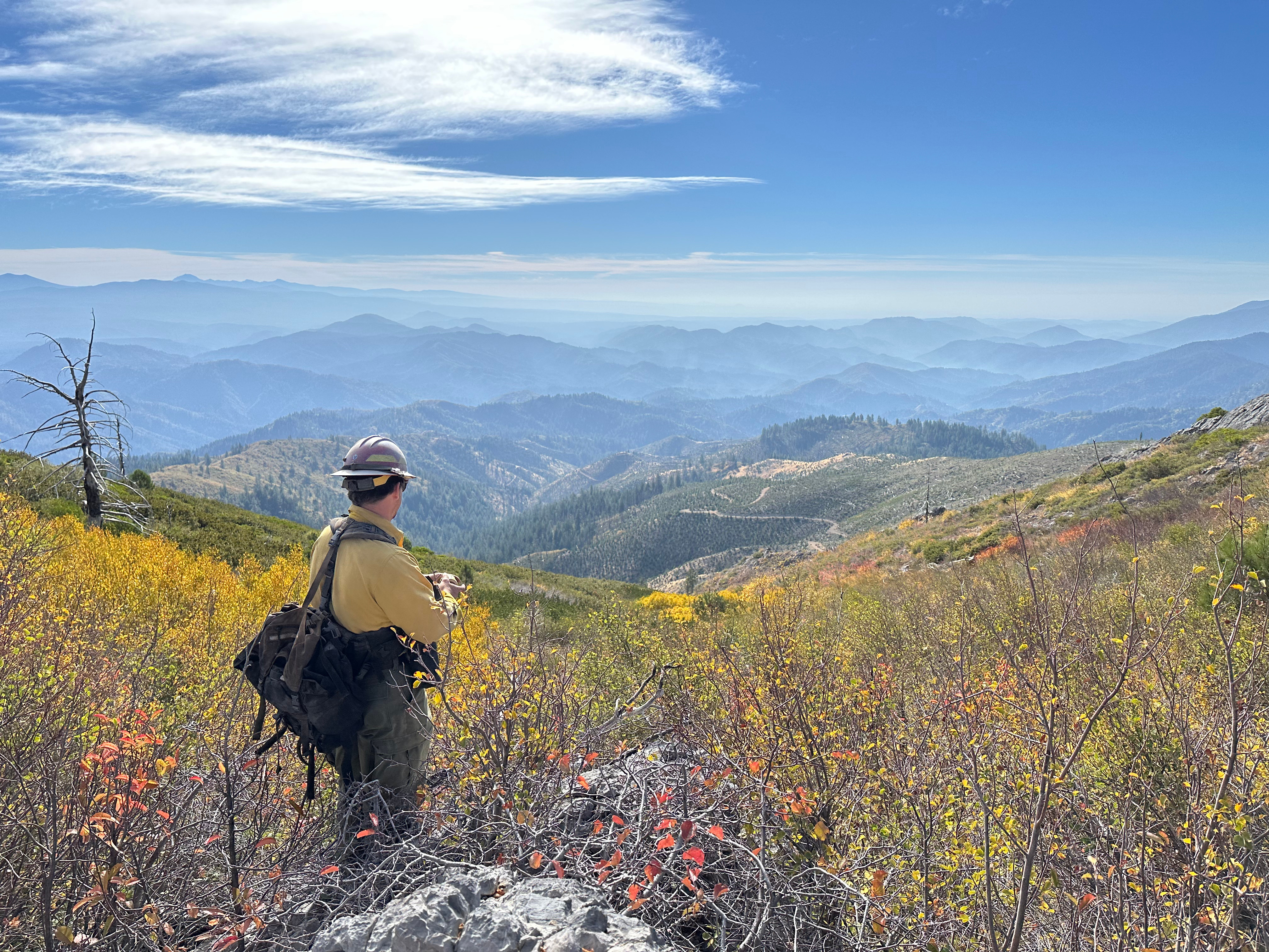
A Resource Advisor looks south to the fire area on 10-29-2024. The fire area is hazy from lingering interior smoldering and drift smoke.
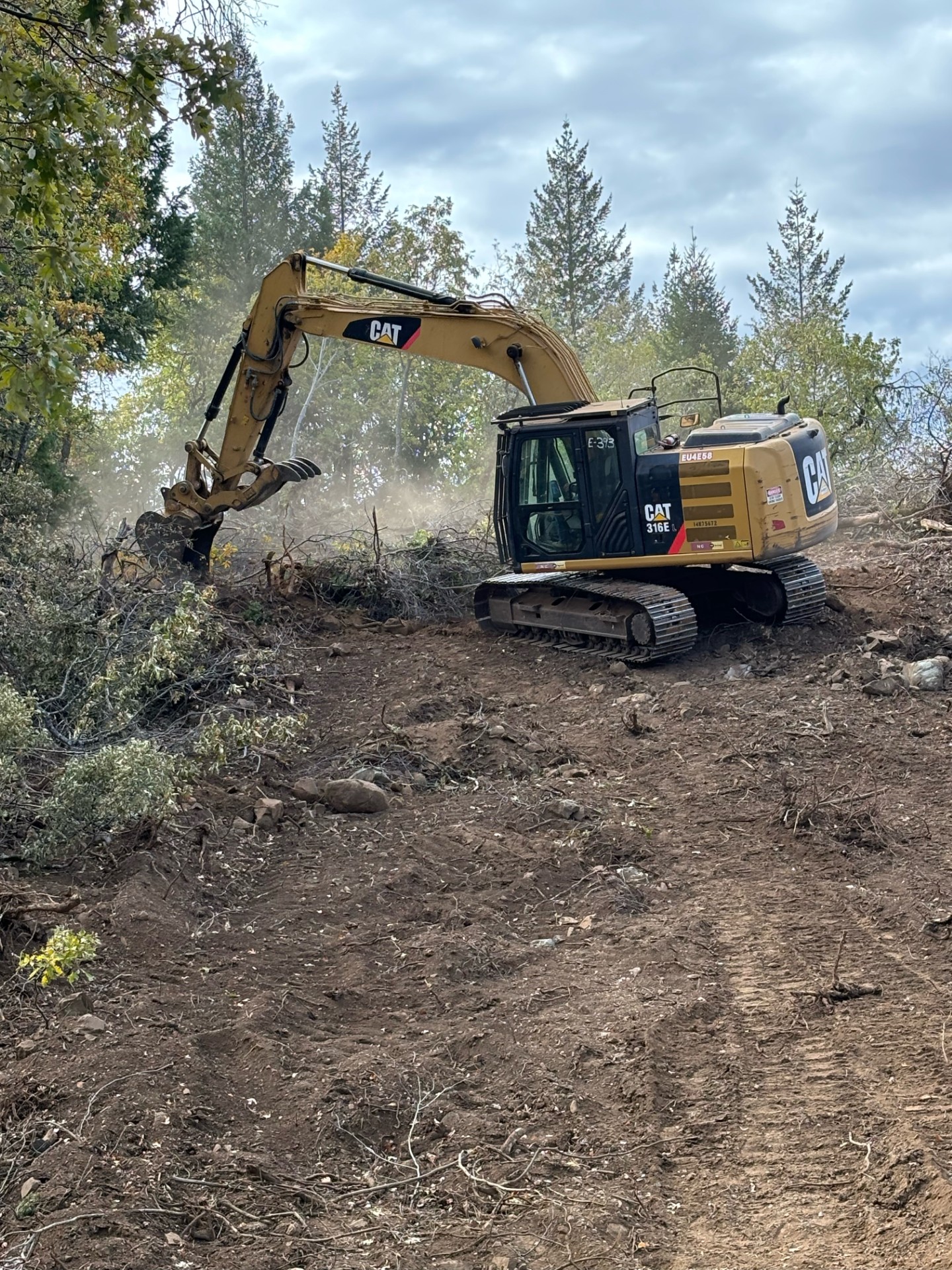
Excavator completing fire suppression repair on 10-30-2024.
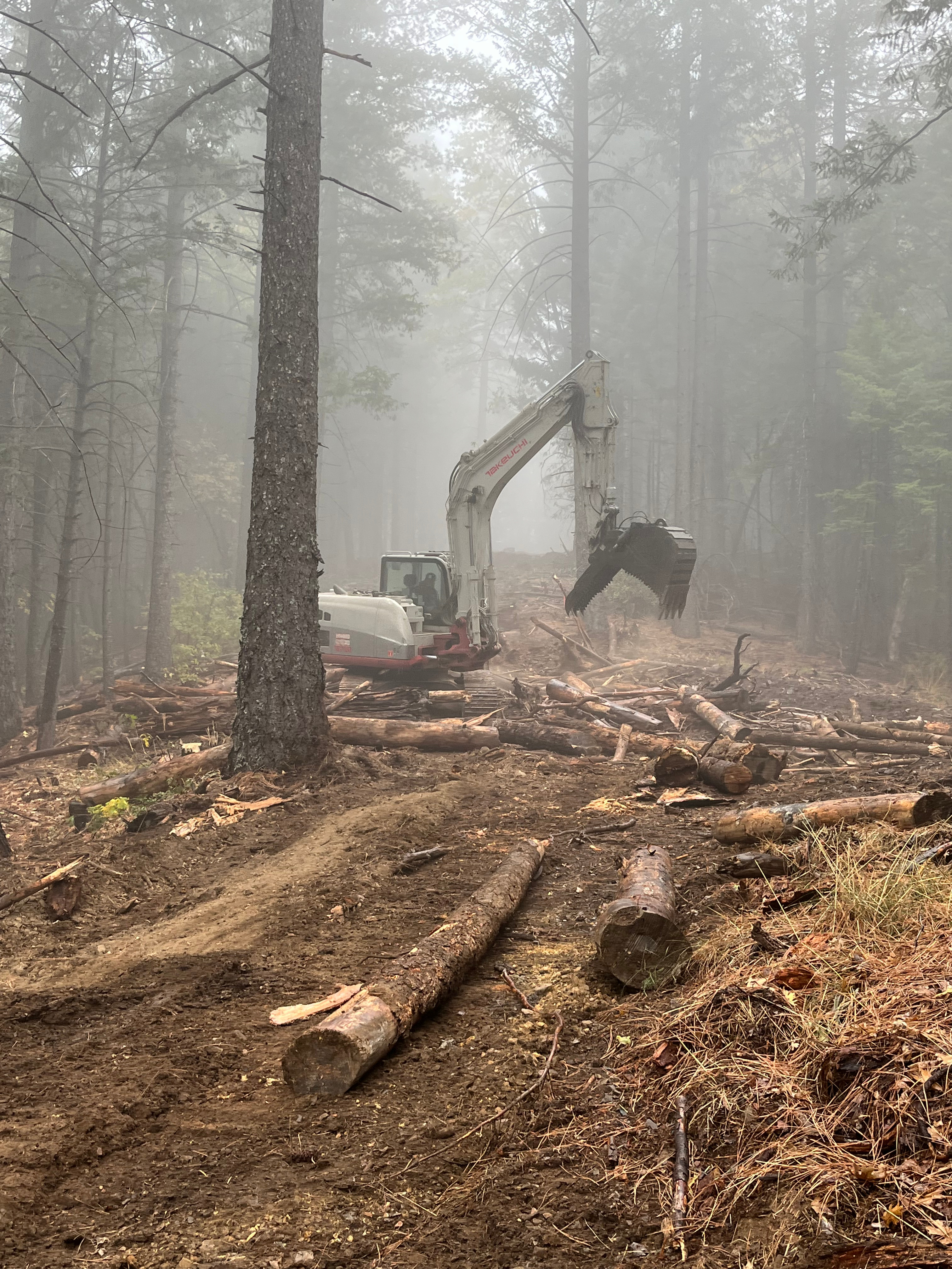
An excavator performs fire suppression repair on the west side of the fire on contingency line.
Social Media Links: Shoe Fire Facebook | Shasta County Sheriffs Dept. | Shasta-Trinity National Forest | CAL FIRE Shasta-Trinity Unit/Shasta County Fire
Fire Cameras: RoundMtnShasta2 (Camera) | ShoeInHorse Mountain1 (Camera)
On October 9th, firefighters from the US Forest Service and CAL FIRE Shasta-Trinity Unit responded to a reported fire 12 miles southwest of Big Bend. The Shoe Fire moved rapidly uphill and to the north into an area with limited access, rugged terrain, and limited recent fire history. This fire is a Full-Suppression Wildfire. Firefighters have been aggressively fighting the fire both in the air and on the ground.
Forest area closure and road closures are also in effect (evacuations have been rescinded). Private timberlands are located north of the fire. Numerous significant cultural resources, and habitats associated with limestone are threatened.
Due to diligent fire suppression efforts and recent precipitation, the fire remains within the current containment lines. Incident personnel are actively collaborating with resource advisors to repair and safeguard areas affected by fire damage. Resource advisors work in conjunction with operations to protect cultural, natural, and other forest resources.
FOREST CLOSURE ORDER: The Shasta-Trinity National Forest has issued an Emergency Forest Closure Order for lands surrounding the Shoe Fire. This Forest Order is effective immediately, and can be adjusted as the fire progresses. See the details by clicking on the Forest Closure Order, Forest Closure Order Map, and Forest Closure Order Map for the Shasta Lake.
HUNTERS: This fire is within California Deer Hunting Zone C-2. Hunters and OHV riders in the area need to be cognizant of evacuation orders and road closures. Please stay safe and far away from this area, as fire conditions can change rapidly.
DRONE SAFETY - KNOW WHERE YOU CAN FLY: Drones pose a serious risk to firefighting and can cause air operations to cease. When drones interfere with firefighting efforts, a wildfire has the potential to grow larger and cause more damage. For more information on drones the public can visit the FAA’s website at Home - Know Before You Fly . “If you fly, we can’t!”
Fire Aircraft operate inside of a Temporary Flight Restriction, a cleared and safe environment where firefight aircraft can focus more on the fire, and less on other aircraft. A map and additional information for the Shoe Fire’s TFR can be found at https://tfr.faa.gov/save_pages/detail_4_7697.html
The public is advised to stay out of the area of as this is an active and ongoing incident.
ABOUT THE FOREST: The Shasta-Trinity National Forest is the largest National Forest in California, encompassing 2.2 million acres with over 6,278 miles of streams and rivers. It ranges from 1,000 in elevation (Shasta Lake and its general area) to the spectacular Mt. Shasta with its impressive elevation of 14,179 feet.
The Shasta-Trinity National Forest area is one of the most culturally complex regions in California encompassing a varied and rich Native American cultural heritage. Cultural resources distributed throughout the forest, range from archaeological remains of past life ways to sacred sites utilized by contemporary Native American peoples. The forest works with eleven federally recognized tribes include the Redding Rancheria, Resighini Rancheria, Pit River Tribe, Hoopa Valley Tribe, The Klamath Tribes, Quartz Valley Indian Reservation, Round Valley Reservation, Yurok Tribe, the Karuk Tribe, Paskenta Band of Nomlaki Indians, and Moduc Nation of Oklahoma; and with eight non-federally recognized tribes include Winnemem Wintu Tribe, Tsnungwe Tribe, Nor-Rel-Muk Wintu Nation, Wintu Tribe of Northern California and Toyon-Wintu Center, Wintu of Hayfork, The Moduc Nation, The Shasta Nation Inc., and Shasta Indian Nation.
The STNF includes portions of five designated Wilderness Areas: Castle Crags, Chanchellulla, Mount Shasta, Trinity Alps and Yolla Bolly-Middle Eel. The main branch of the Trinity River is a designated Wild and Scenic River which runs through the forest. A 154 mile section of the Pacific Crest Trail runs in an east - west direction across the STNF. The Trinity Heritage and the Trinity River Scenic Byways are two scenic drives in the area.
| Current as of | Sat, 11/09/2024 - 12:41 |
|---|---|
| Incident Time Zone | America/Los_Angeles |
| Incident Type | Wildfire |
| Cause | Human |
| Date of Origin | |
| Location | Shasta Trinity National Forest |
| Incident Commander | Type 4 team lead by IC Steffen Joss, with trainee’s Terra Perkins and Mike Samaniego |
| Incident Description | 12 miles SW of Big Bend, CA |
| Coordinates |
40° 55' 24.4'' Latitude
-122° 6' 6.012
'' Longitude
|
| Total Personnel: | 118 |
|---|---|
| Size | 5,124 Acres |
| Percent of Perimeter Contained | 100% |
| Estimated Containment Date | 11/15/2024 |
| Fuels Involved | Fire occurred in an area with no recent fire history. Fuels in the fire area are primarily timber litter with areas of oak stands with brush understory. Larger dead fuel moistures have slowly decreased through the week. |
| Significant Events | Very isolated smoldering well interior of the control lines. |
| Planned Actions |
East: Patrol and monitor fire edge. Continue suppression repair. Equipment will continue to repair dozer lines along Garden Ridge, going north from Kiwi Dip. West: Patrol and monitor fire edge. Continue suppression repair. Heavy equipment will continue to repair contingency lines on the west side of the fire on the Curl Ridge Jeep Trail. The majority of the repair is completed, and equipment is tracking off of the hill. Road grading will continue on the Salamander Loop Road. |
|---|---|
| Projected Incident Activity |
12 hours: Isolated smoldering fire behavior interior to control lines. 24 hours: Partly sunny then becoming mostly cloudy with southwest winds. Minimal fire behavior with ver isolated smoldering. |
| Weather Concerns | Sunny skies with lighter winds prevailed today. Relative humidities were in the mid to low 20's with temperatures in the 60's. Dry weather is expected through the weekend with a cooling trend continuing. Light northeasterly/ downslope winds are expected in the morning, becoming southwesterly in the afternoon. Wetting rain, cooler temperatures and gusty southerly winds spread in Sunday night through Monday. |
|---|