
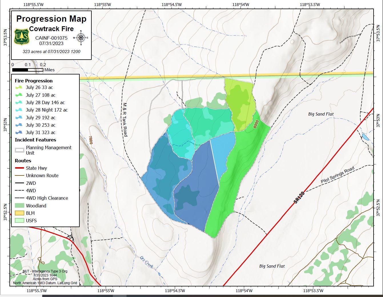
Lightning-Caused Cowtrack Fire Completed at 323 Acres
Location: Mono Lake Ranger District of the Inyo National Forest, off Highway 120 East approximately 20 miles east of Highway 395 on Forest Service Road 1S19, 6 miles southeast of Mono Lake.
Resources: 5 Engines, 2 Hand Crews, 1 Wildland Fire Module, 3 Water Tenders, 1 Dozer, 1 Helicopter, 123 total personnel including overhead.
Acreage completed: 323
Firefighters have completed burn operations on the lightning-caused Cowtrack Fire that started on Wednesday evening, July 19. Day and night crews used strategic ignition strategies over the last few days to create low intensity burning in the fire area. All ignitions are completed for a total of 323 acres.
Firefighters will spend the remainder of their time on the fire engaged with mop-up, pulling hose, and repairing hand line. Throughout the week additional resources will be released from the fire as work is completed. “We are very impressed by all the hard work that was put into this fire”, said Brian Etheridge, Incident Commander Trainee, on the Cowtrack fire, “the fire effects and low intensity burning really helped to achieve a successful reintroduction of fire to this ecosystem”.
Smoke from residual smoldering may be visible from Highway 395 and Highway 120 East, however we do not expect any significant smoke impacts to surrounding communities.
| Current as of | Mon, 08/07/2023 - 14:31 |
|---|---|
| Incident Type | Wildfire |
| Cause | Lightning |
| Date of Origin | |
| Location | Near Cowtrack Mountain, approximately 6 miles southeast of Mono Lake |
| Incident Commander | Annamaria Escheverria - Inyo National Forest, Mono Lake Ranger District |
| Incident Description | Lightning caused wildfire managed for multiple objectives, as of July 27th the fire is 107 acres |
| Coordinates |
37° 52' 56'' Latitude
-118° 54' 7
'' Longitude
|
| Size | 323 Acres |
|---|---|
| Fuels Involved | Light to moderate fuels consisting of Jeffrey pine and sage brush in sandy pumice soils. |
| Planned Actions |
Fire will be patrolled periodically. |
|---|