
Highlighted Media
UPDATE: 100% Containment on 12-23-24
DAILY DOCUMENTS: Daily Update | Daily Public Info Map | Progression Map | Operational Video | AirNow Fire and Smoke Map | Smoke Outlook Report |
CAMERA VIEWS: RunningSprings2 | DunlapAcres1
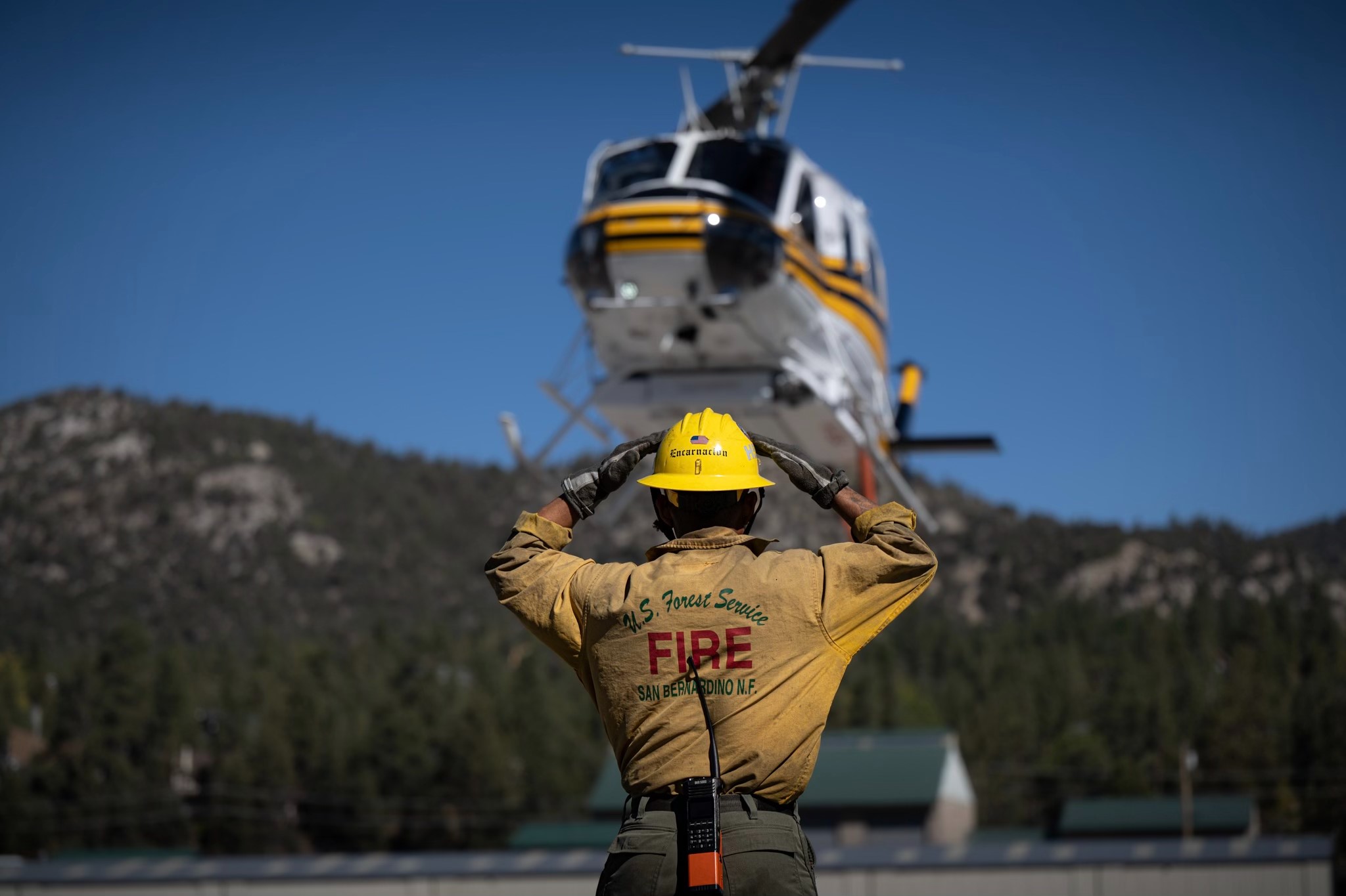
INITIAL SITUATION: Forest Service Firefighters along with firefighters from other agencies including the City of Highland and San Bernardino County responded to a reported wildland fire on Baseline Road at about 6:00 PM on September 5, 2024. Arriving engines reported several acres on fire, and immediately requested more resources, including multiple additional fixed wing and helicopters.
EVACUATIONS: Evacuation Interactive Map
Orders: None
Warnings: The evacuation warning for Seven Oaks and Angelus Oaks has been lifted
EVACUATION SHELTERS: Closed due to the repopulation of the affected communities.
ANIMAL SHELTERS: Closed due to repopulation of the affected communities.
ROAD CLOSURES: Plan ahead on State Highways - Visit Division of Traffic Operations - Road Information - California Highway Information.
- Update: SR-38 open in both directions. https://quickmap.dot.ca.goov/
- SR-330 closed northbound from Highland Ave to Hwy 18 due to damaged guardrail and ongoing Caltrans repairs. There is no estimated time for reopening State Route 330 at this time.
FOREST CLOSURE ORDERS: San Bernardino National Forest has issued Forest Order NO. 05-12-00-24-11, creating a Forest Closure Area around the Line Fire. All National Forest lands, trails, and roads are closed to the public within that zone. Please know what these orders are reviewed frequently, will grow or shrink as needed based on the size and risks associated with the fire.
CAMPFIRE RESTRICTIONS: As of July 2, 2024, Forest Order No. 05-12-00-24-06 has implemented additional campfire and recreational shooting restrictions. Campfires are allowed in very limited designated recreation sites (see above link for details); "Rock Ring" fires are NEVER ALLOWED! This order is in effect through Jan. 15, 2025.
BURNED AREA EMERGENCY RESPONSE (BAER): Three Forest Service Burned Area Emergency Response (BAER) teams have been established by the San Bernardino, Cleveland, and Angeles national forests (NFs) to begin post-fire burned area assessments of the Line, Airport, and Bridge fires that recently burned on National Forest System, state, and private lands. Forest Service BAER team assessments typically take approximately two weeks to complete. For more information please visit: Southern California BAER Team Inciweb
DRONE SAFETY - KNOW WHERE YOU CAN FLY: Drones pose a serious risk to firefighting and can cause air operations to cease. When drones interfere with firefighting efforts, a wildfire has the potential to grow larger and cause more damage. For more information on drones the public can visit the FAA’s website at Home - Know Before You Fly . “If you fly, we can’t!”
| Current as of | Mon, 12/23/2024 - 15:48 |
|---|---|
| Incident Time Zone | America/Los_Angeles |
| Incident Type | Wildfire |
| Cause | Arson |
| Date of Origin | |
| Location | North of City of Highland, CA. |
| Incident Commander | Rocky Opliger IC of California Inter-Agency Incident Management Team 4 Unified command with San Bernardino County Fire, CALFIRE San Bernardino and the San Bernardino County Sheriffs Office. |
| Coordinates |
34° 7' 28'' Latitude
-117° 9' 28
'' Longitude
|
| Total Personnel: | 252 |
|---|---|
| Size | 43,978 Acres |
| Percent of Perimeter Contained | 100% |
| Estimated Containment Date | 10/25/2024 |
| Fuels Involved | Tall Grass (2.5 feet) Dry air will dominate through the week. The ERC is still well above average for the season and is roughly analogous to the peak of fire season. Burning Indices will be roughly average due to a lack of wind. Live fuel moistures are close to critical. The fire is burning in areas with no recent fire history, and residual heat will remain for long periods of time. |
| Significant Events | Minimal, Creeping, and Smoldering. Pockets of unburned fuels remain within the fire perimeter, with limited access due to steep and rocky terrain. Risk remains for slope reversal and potential spread upslope toward Highways 18 or 38 while heat remains. Isolated interior heat still remains in several other portions of the fire. |
| Planned Actions |
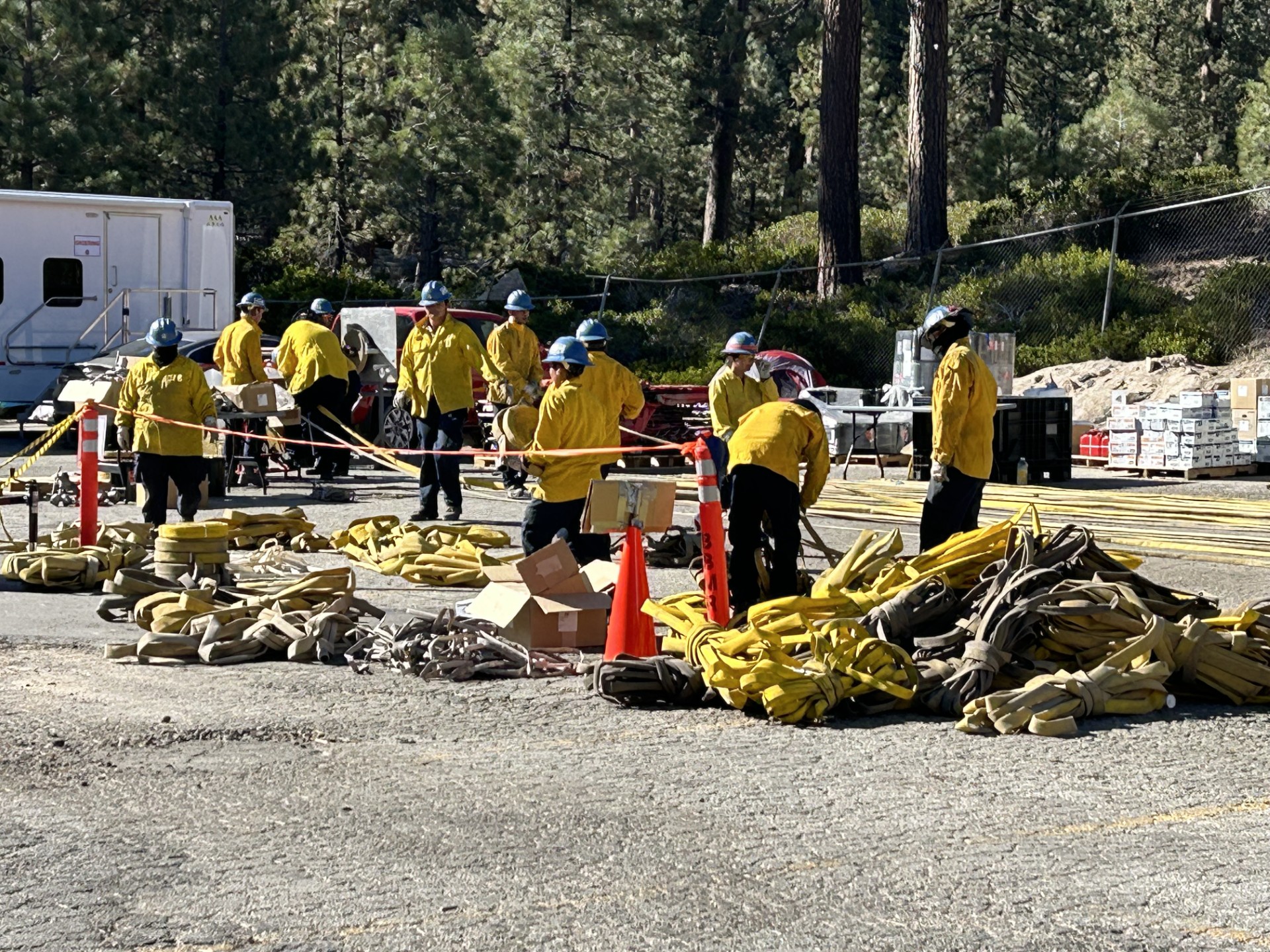
The next operational planned actions include continuing mop-up operations and suppression repair, and monitoring by air the areas of the fire that are inaccessible to ground resources and continue to hold heat. The continued implementation of the fire suppression repair plan is being executed in phases across multiple areas of the fire in close collaboration with READs, ARCHs, and CULS. The BAER team will continue to evaluate fire effects that pose risks to life, property, and the environment. |
|---|---|
| Projected Incident Activity |
12 hours: Light drainage winds 3-6 mph along with clear skies are expected overnight. Lows ranging from the mid-30s to mid-40s with humidity recoveries between 40-55 percent. 24 hours: Dry conditions and warming temperatures will be seen Tuesday with highs low 60s to mid-70s. Relative humidity will lower into the 20s to lower 30s with overnight recoveries expected to be 40-50 percent. Typical upslope/upvalley winds expected with occasional gusts to around 12 mph over exposed ridges. Skies will be sunny. 48 hours: Temperatures are expected to peak Wednesday with highs from the mid-60s at the higher elevations to around 80 in the lower elevations. Humidity will be a bit lower with upper teens in some areas to the upper 20s. Typical upslope/upvalley winds of 4-7 mph expected. 72 hours: High pressure will weaken slightly allowing for slightly cooler temperatures toward the end of the week. No significant changes in humidity and winds will continue to remain mainly terrain driven with occasional gusts to around 14 mph. Anticipated after 72 hours: High pressure will weaken slightly over the weekend and bring some slightly cooler temperatures, but little change afternoon and overnight humidity readings. There are some indications that we could see cooler temperatures, increasing winds, and a chance of precipitation at the beginning to the middle portions of next week. |
| Remarks |
- CIIMT 4 will transfer command back to the San Bernardino National Forest today 10/22/24 @ 1800. - FMAG submitted and approved. - Received a State of California Proclamation of Emergency Declaration. |
| Weather Concerns | High pressure will remain over the region through the weekend with mild temperatures, light mainly terrain driven winds, and dry conditions. Skies will remain generally sunny expect for some high clouds at times. |
|---|