
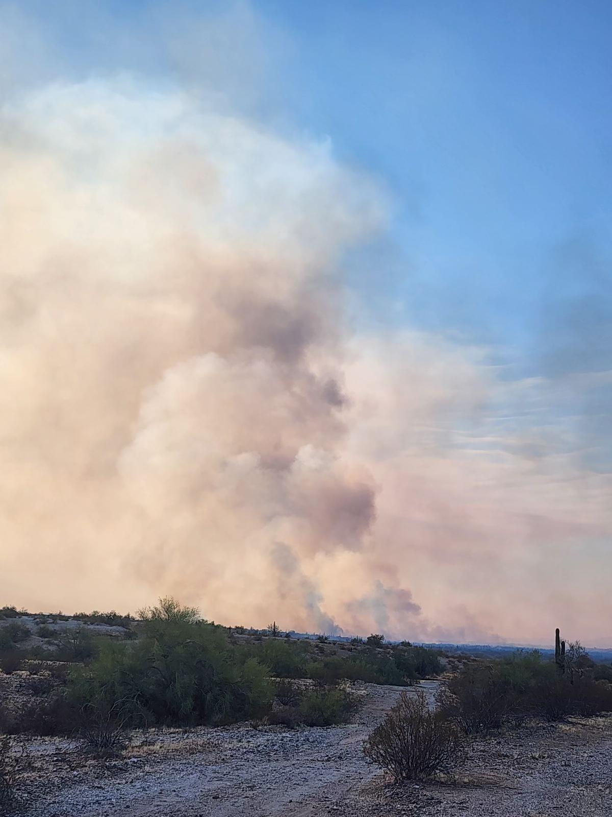
A wildfire was reported in the Gila River Indian Community, District 6, at approximately 1309 MST on September 28, 2024. The fire is currently threatening approximately 10 homes and an evacuation is in place for west of Santa Cruz Road. The fire is burning salt cedar and mesquite fuels in the Salt River bottom. Full suppression is in place with air attack response on the fire. A Temporary Flight Restriction (TFR) is currently in place over the fire area. The cause of the incident is currently under investigation.
October 1, 2024, acreage of fire was corrected to 553 acres. 100% contained on October 5, 2024, at 1800.
| Current as of | Thu, 10/17/2024 - 15:14 |
|---|---|
| Incident Time Zone | America/Phoenix |
| Incident Type | Wildfire |
| Cause | Unknown |
| Date of Origin | |
| Location | Old Well Road at Cemetery Road in Santa Cruz, AZ |
| Incident Commander | BIA Pima River Agency |
| Incident Description | Burning salt cedar and mesquite fuels in the Salt River bottom |
| Coordinates |
33° 14' 0'' Latitude
-112° 9' 32
'' Longitude
|
| Size | 553 Acres |
|---|---|
| Percent of Perimeter Contained | 100% |
| Fuels Involved | Salt Cedar and Mesquite |
| Weather Concerns | 108 degrees F and dry |
|---|