
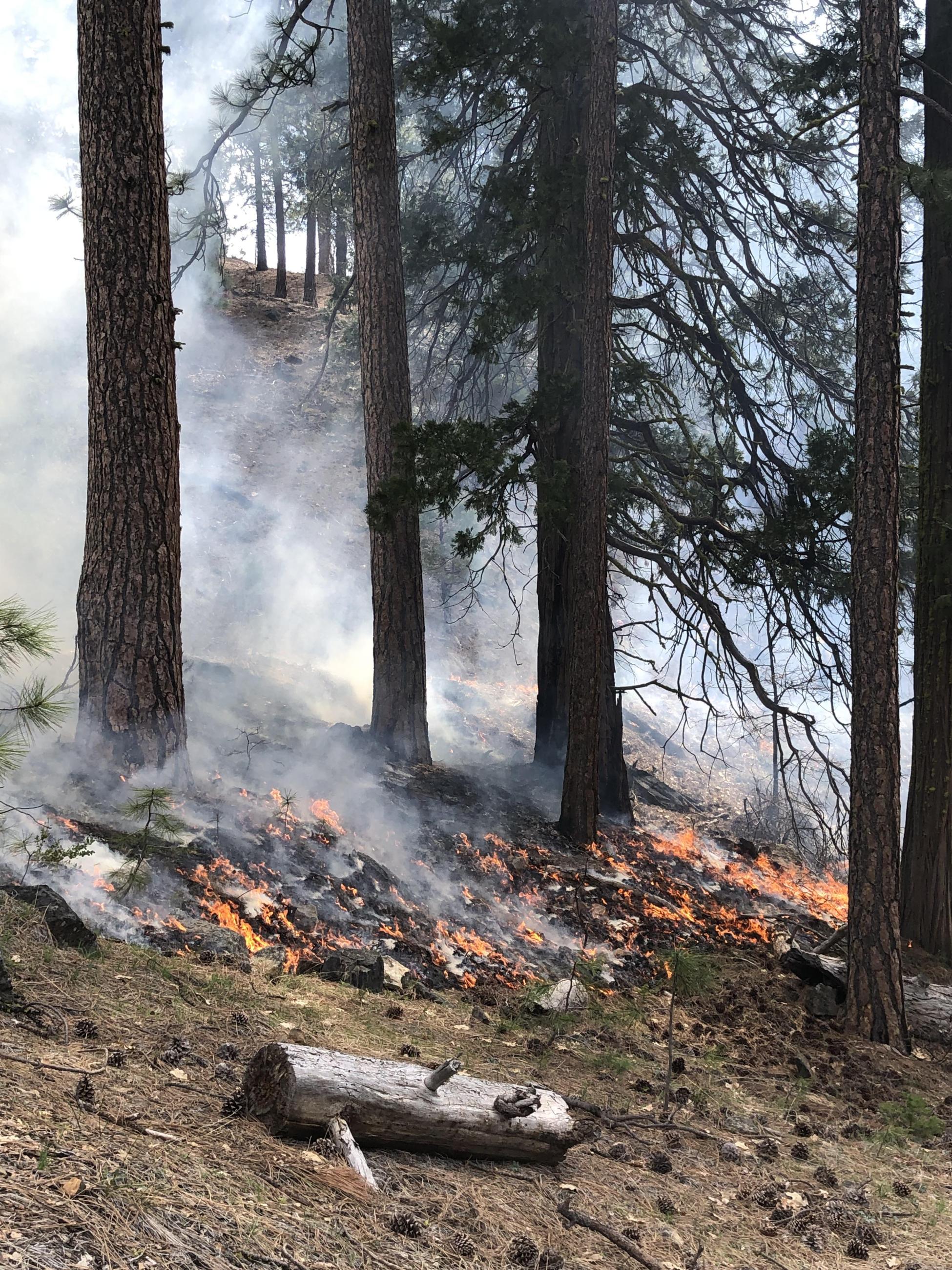
The arrival of warmer weather has melted the snow at lower elevations, bringing ideal conditions for underburning to begin on the Klamath National Forest. The first underburn for 2023 on the forest was initiated on May 1st on the Salmon-Scott River Ranger District at Scott Bar Mountain. The project area is about 12 miles west of Fort Jones in the vicinity of Jones Beach and Indian Scotty Campground. Fire crews burned 30 acres on that day before wet weather moved in.
Up to 560 acres of burning could occur within the Scott Bar Mountain project area over the course of the spring if conditions allow. Smoke from this project will be visible from Fort Jones and Scott River Road.
Prescribed underburning mimics the role that natural fire has played in the fire-dependent ecosystems in the Klamath National Forest. “Prescribed burning is a critical tool for our land managers to wield to improve the health of our forest,” said Kris Sexton, Deputy Forest Supervisor. “We are pleased that a wet winter has set us up for resuming the important work we accomplish on the landscape with prescribed fire.”
Additional prescribed burning projects are planned for other areas around the forest as higher elevations come into prescription.
The Goosenest Ranger District is planning underburn operations within three project areas this spring: the First Creek Project with 225 acres of mixed conifer forest north of Grass Lake; the
Van Bremmer project with 590 acres in ponderosa pine and mixed conifer, nine miles northeast of Tennant; and the Erickson Project, which has 289 acres in ponderosa pine and juniper, about four miles southeast of Grass Lake. Fire personnel have been working towards completion of the 1,180-acre Erickson Project for the last few years.
On the west side of the forest, the Happy Camp-Oak Knoll Ranger District is looking to implement two prescribed burn projects if conditions allow. In the area of Cade Mountain, northeast of Happy Camp, roughly 110 acres of underburning could occur; the Craggy Project, just north of Yreka, has up to 200 acres of prescribed underburning planned. Smoke from the Craggy Project would be visible from Yreka and the I-5 corridor.
| Current as of | Tue, 06/27/2023 - 17:30 |
|---|---|
| Incident Type | Prescribed Fire |
| Location | Klamath National Forest |
| Coordinates |
41° 42' 24'' Latitude
-122° 38' 40
'' Longitude
|