
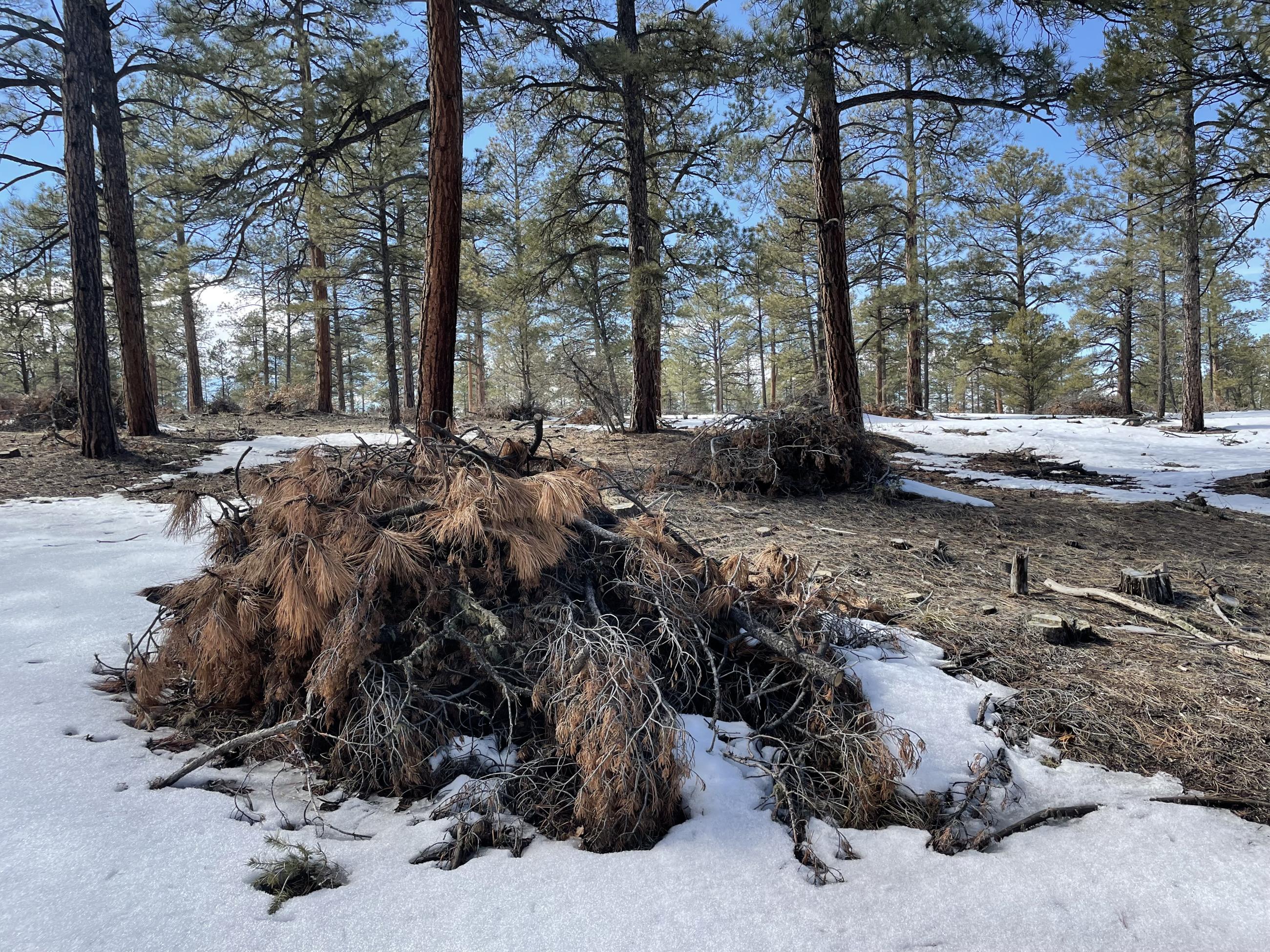
Piles created from 137 acres of thinning to the south of Ojo Sarco, NM (map), are ready for prescribed fire treatment. Fire managers are monitoring forecasts and ground conditions before ignitions. Once burned, crews will patrol and monitor the piles until they are called out.
The piles were created as are part of the Green Fuelwood Areas Project, which aims to restore forest health and resiliency next to communities while providing fuelwood and other wood product opportunities to residents.
The ponderosa forests around Ojo Sarco are fire-dependent and must undergo fire disturbance on a regular basis to maintain resiliency. After prescribed fires are completed, if a future wildfire reaches an area, the fire behavior will likely be modified to a less intense, more manageable surface fire making it safer for firefighters to engage.
(Photo: Ojo Sarco piles in March 2023)
For the Record: An earlier version of this overview mistakenly called the project the Rio Trampas Project. It is the Green Fuelwood Areas Project.
| Current as of | Tue, 01/09/2024 - 12:14 |
|---|---|
| Incident Type | Prescribed Fire |
| Coordinates |
36° 06' 05'' Latitude
-105° 46' 45
'' Longitude
|
| Size | 137 Acres |
|---|