
Single Publication
Could not determine your location.
 Wildfire
 Prescribed Fire
 Burned Area
Response
Burned Area
Response Other
Other
Bear Fire Daily Update 09-13-2024
Bear Fire, Tahoe National Forest
Publication Type: News - 09/13/2024 - 08:37
Location: South of Sierra Brooks off Bear Valley Rd., Tahoe National Forest
Personnel: 233
Start Date: 9/2/2024 @ 2:00 PM
Cause: Undetermined
Size: 3,323 acres
Percent contained: 83%
***This will be the final written update for the Bear Fire, unless significant activity occurs***
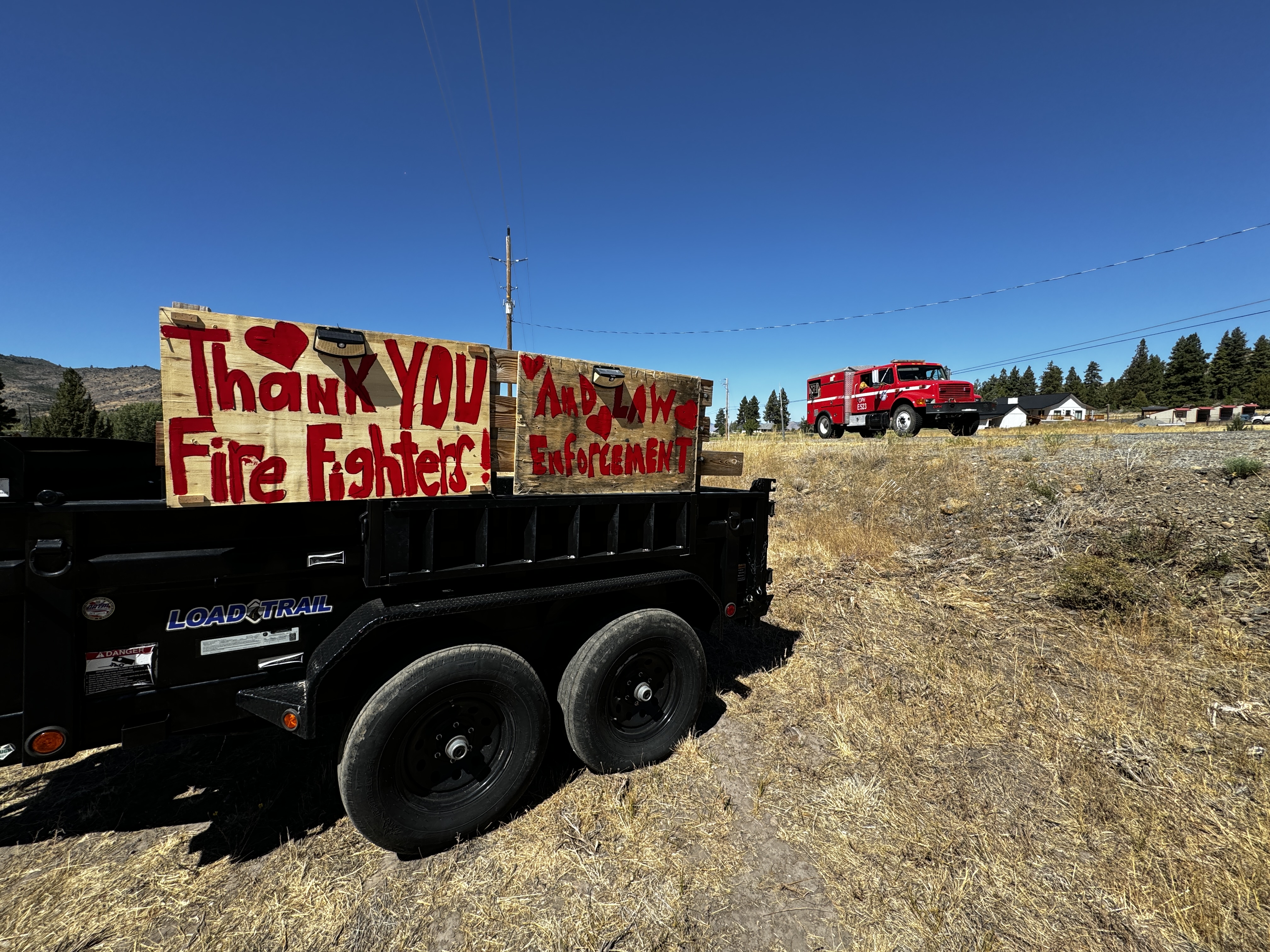
Thanks to the work of fire crews, the Bear Fire has continued to stay within its footprint. Patrol and repair will continue through the weekend as crews prepare for an incoming cold front. Repair activities include mitigating long-term environmental impacts and facilitating the restoration of the affected landscape. Repair operations include chipping and road repair in areas damaged by suppression efforts.
A Burned Area Emergency Recovery (BAER) Team will begin work on the impacted area starting Saturday. The team is comprised of experts – including hydrologists, soil scientists, road engineers and archeologists – who will be monitoring soil burn severity and developing rehabilitation plans for the Bear Fire area.
This will be the final written incident update unless significant incident activity warrants otherwise. Incident information, including containment progression, will continue to be updated on the official incident information platform Inciweb: inciweb.wildfire.gov/incident-information/catnf-bear-fire-tahoe-national-forest.
WEATHER:
Temperatures will warm back to around season averages on Friday with mid-70s to near 80 degrees for lower valleys. Light afternoon breezes will prevail on Friday afternoon with West-Northwest winds around 8-12 mph. Typical southwest breezes will return on Saturday before another cold front provides gusty southwest winds of 25-35 mph on Sunday afternoon followed by a5 0-60 percent chance of showers late Sunday night into Monday.
EVACUATIONS:
Sierra County: Evacuation order and warnings remain in effect. For an interactive map of evacuations, visit: https://protect.genasys.com/search.
FOREST CLOSURE:
An updated forest closure has been issued. For more information visit the Tahoe National Forest website at: https://www.fs.usda.gov/alerts/tahoe/alerts-notices.
Map has not changed since 09/11/2024