
Highlighted Media
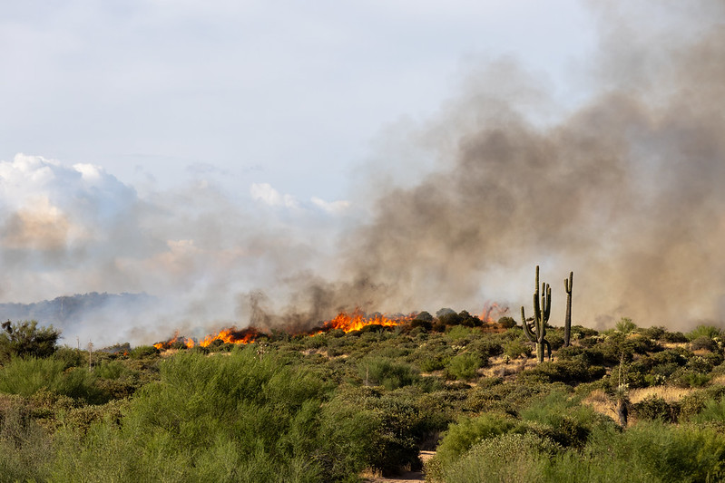
Bartlett Fire and Smoke
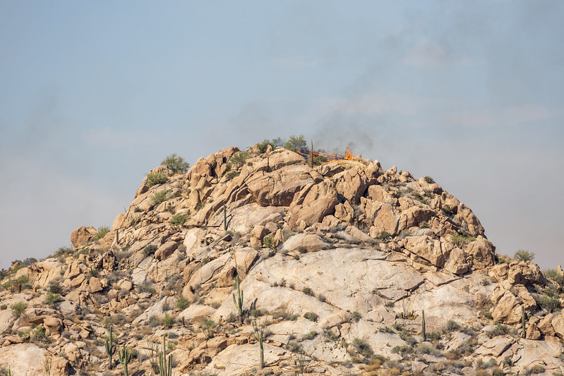
Bartlett Fire in rocky terrain
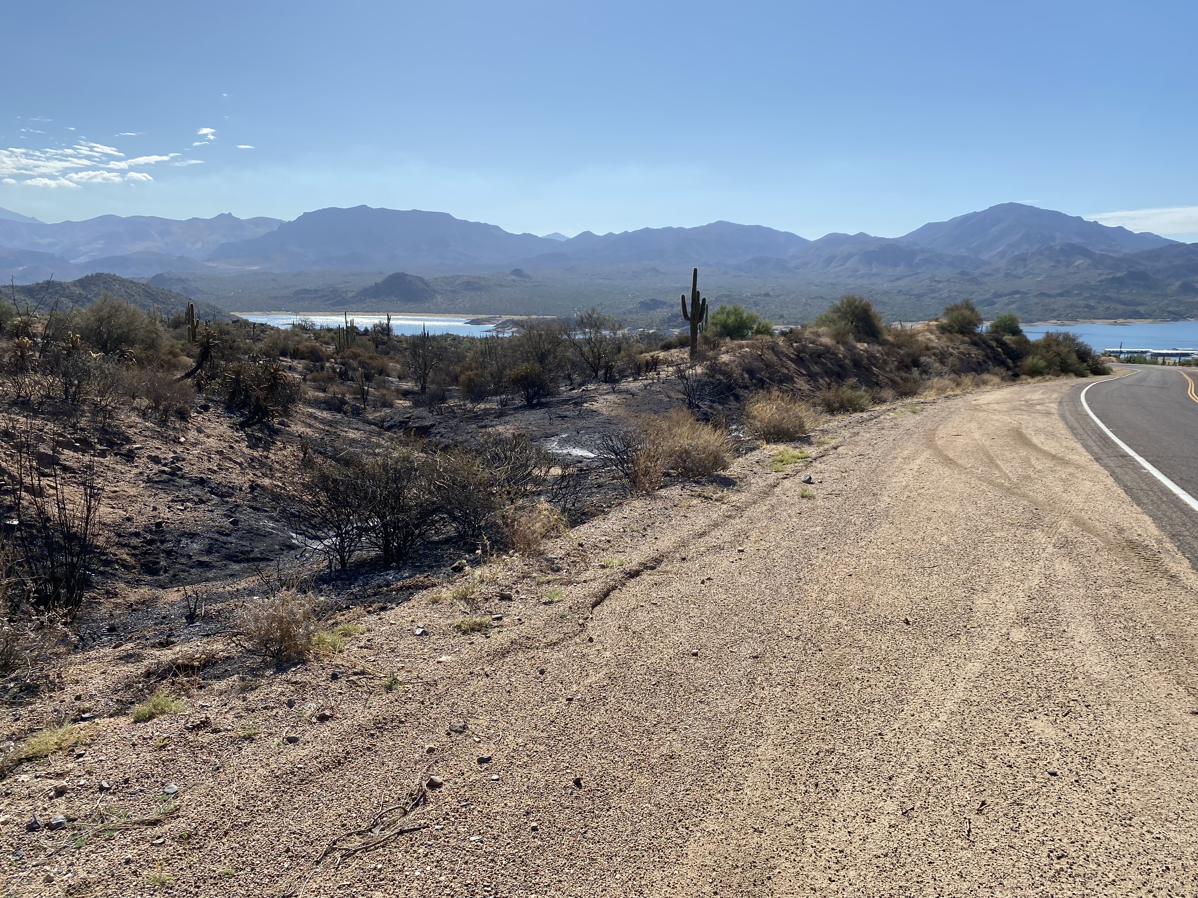
August 8, 2024 - Burned area at Bartlett Lake
Bartlett Fire is a lightning-caused fire, located around 25 miles northeast of Scottsdale and west of Bartlett Lake on the Cave Creek Ranger District.
| Current as of | Wed, 08/21/2024 - 11:36 |
|---|---|
| Incident Type | Wildfire |
| Cause | Lightning |
| Date of Origin | |
| Location | Cave Creek |
| Incident Commander | Type 4 incident commanders from the Cave Creek Ranger District |
| Incident Description | Wildfire in the Sonoran Desert |
| Coordinates |
33° 53' 75'' Latitude
-111° 39' 00
'' Longitude
|
| Total Personnel: | 14 |
|---|---|
| Size | 6,161 Acres |
| Percent of Perimeter Contained | 98% |
| Fuels Involved | Tall grass (2.5 feet) Grass volumes are elevated due to several growing seasons of above normal moisture. Recent precipitation and elevated RH values have made the grass fuels unavailable to carry fire.
|
| Significant Events | Minimal, Smoldering. Minimal fire activity due to recent rainfall and increased RH. |
| Planned Actions |
Monitor the fire, provide for initial attack, and continue demobilization of resources. Transferred command to the Tonto National Forest on 8/12/24 @ 1800. |
|---|---|
| Projected Incident Activity |
Next 12 hours: No expected movement outside of existing footprint. Next 24 hours: No expected movement outside of existing footprint. Next 48 hours: No expected movement outside of existing footprint. Next 72 hours: No expected movement outside of existing footprint. Anticipated after 72 hours: No expected movement outside of existing footprint. |
| Remarks |
Coordinating with Maricopa County Sheriff's Office (MCSO), Emergency Managers, and other identified stakeholders through daily cooperator meetings to identify needs within and between cooperating agencies. MCSO has also contacted five residents at the Bartlett Forest Closure Order #03-12-01-24-39 is currently in place. Bartlett Lake Flats Road is closed from the Yellow Cliffs parking area to the flats. Only Bartlett Marina, Jojoba Boat Ramp, and Yellow Cliffs Boat Launch are open for public use. The closure extends 100 ft from the water inland around entire Bartlett Lake perimeter. |
| Weather Concerns | Expect temperatures to be fairly stable through the next 7 days, with afternoon highs nearing 110°F |
|---|