
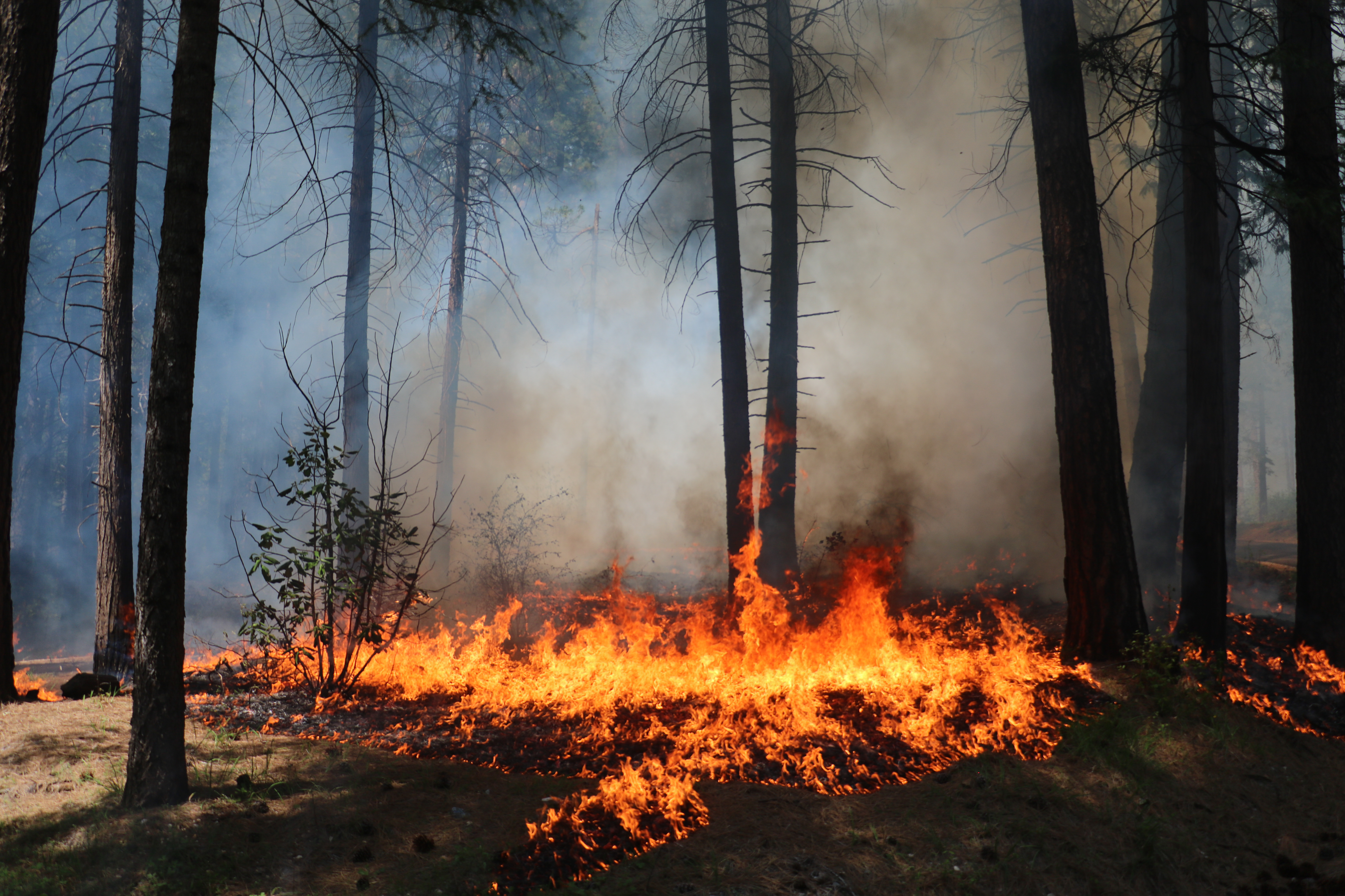
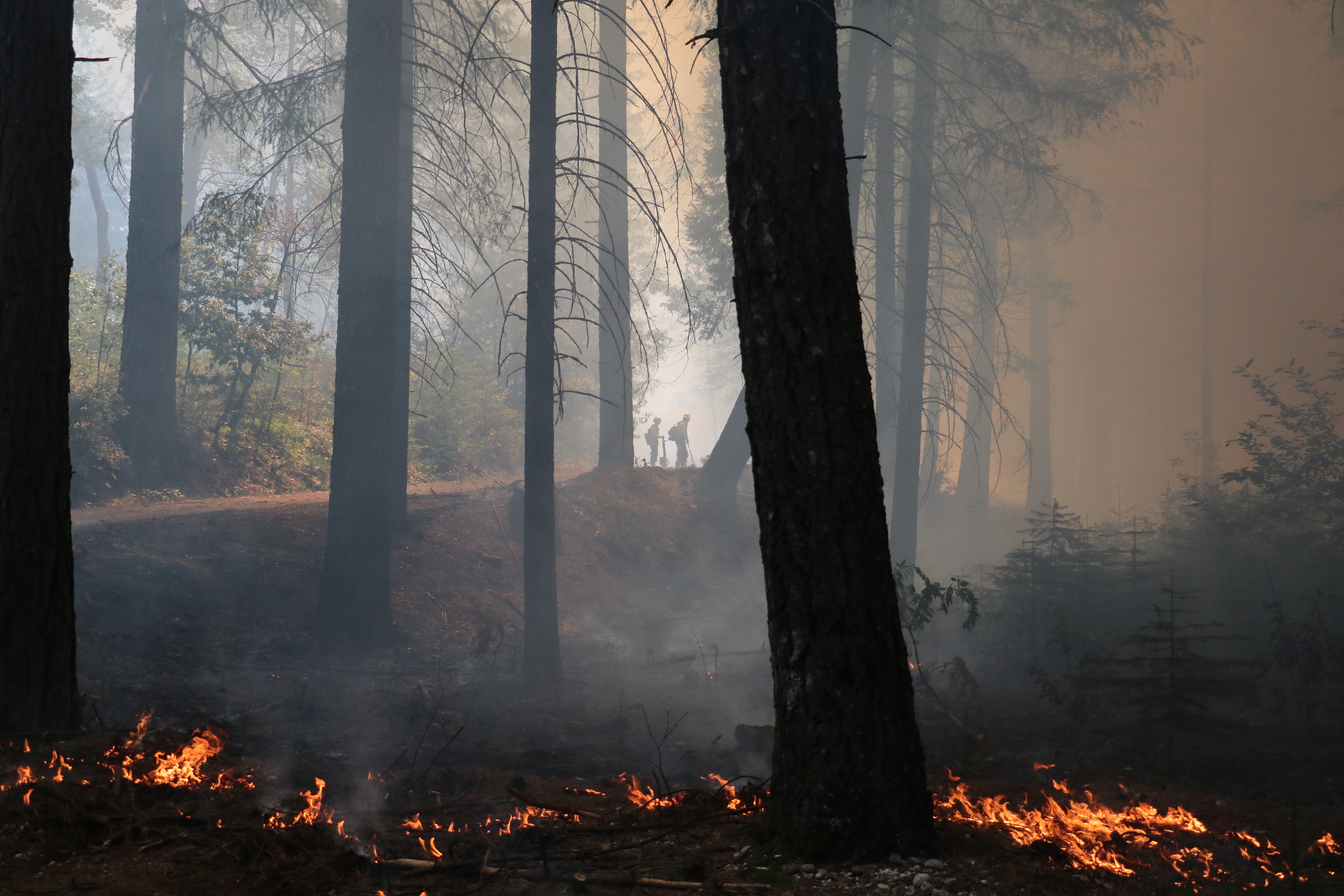
Starting April 22, 2025, Tahoe National Forest will begin a prescribed underburn near the community of Camptonville, north of New Bullards Bar Reservoir along the intersection of Pendola Extension Rd. and Youngs Hill Rd. Fire and fuels personnel plan to conduct ignitions on up to 140 acres. Dependent on conditions, ignitions may take place over multiple days.
Smoke is expected to be visible from the New Bullards Bar, Camptonville, Alleghany, Pliocene Ridge areas. Smoke will also be visible from Marysville Rd. and Highway 49 travel corridors through the vicinity. Smoke visibility and impacts may last for up to 2 weeks, dependent on conditions.
Why Are We Burning?
The goal of this prescribed burn is to decrease the existing fire hazard and to prevent and reduce the impact of future fires in the area. Other benefits include enhancing wildlife habitat and reintroducing fire into a fire-adapted ecosystem.
Why Now?
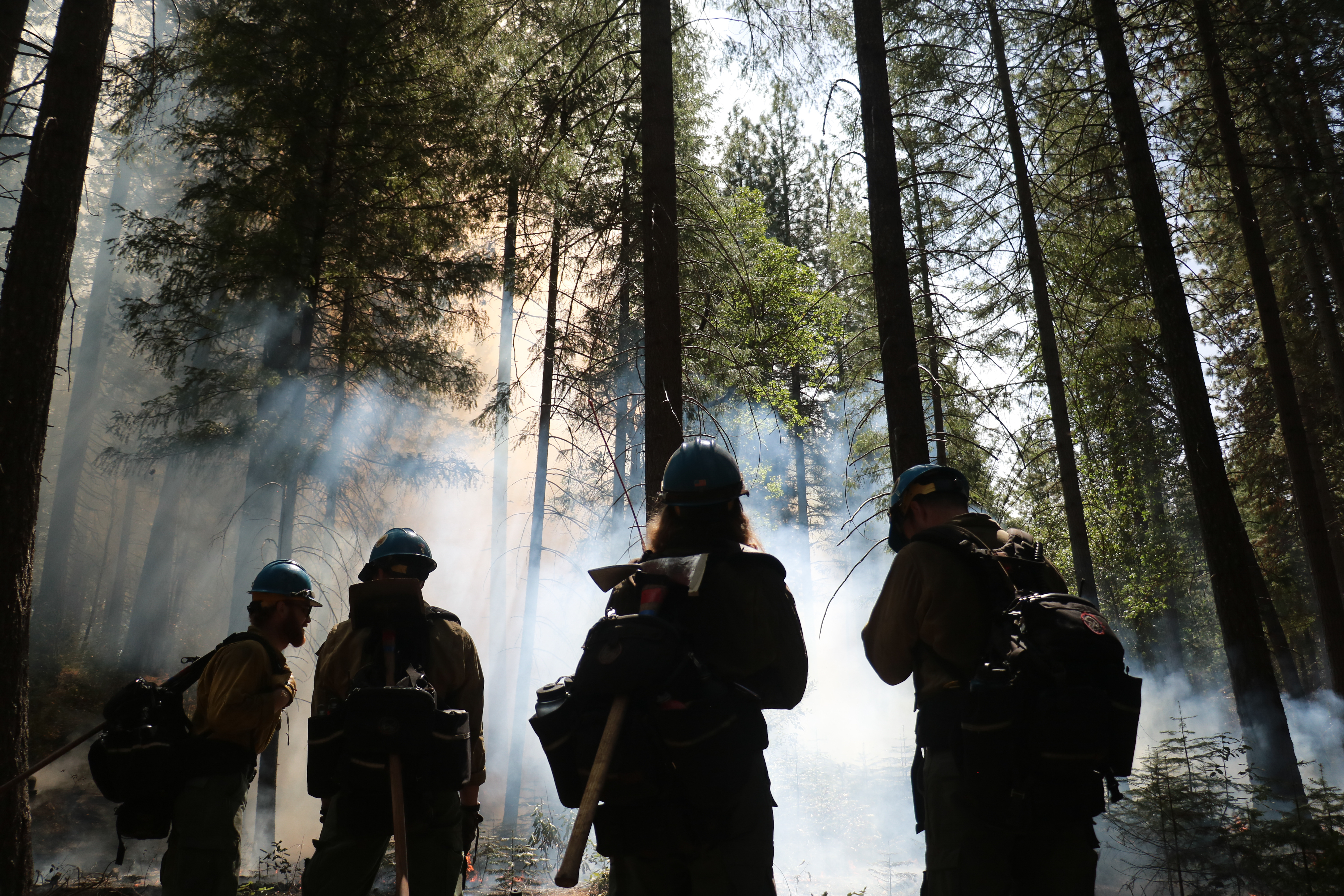
Current conditions allow for prescribed burning. Each prescribed fire operation follows a prescribed fire burn plan, which considers temperature, humidity, wind, moisture of the vegetation, and conditions for the dispersal of smoke. This information is used to decide when and where to burn. The Tahoe National Forest strives to give as much advance notice as possible before burning, but some operations may be conducted on short notice.
Smoke
Smoke from prescribed fire operations is normal and may continue for several days after an ignition depending on the project size and environmental conditions. Smoke may settle into the valleys in the evening and lift in the morning. The Tahoe National Forest coordinates with state and local county air pollution control districts and monitors weather conditions closely prior to prescribed fire ignition. Crews also conduct test burns before igniting a larger area, to verify how effectively fuels are consumed and how smoke will travel.
| Current as of | Tue, 04/22/2025 - 21:01 |
|---|---|
| Incident Time Zone | America/Los_Angeles |
| Incident Type | Prescribed Fire |
| Date of Origin | |
| Coordinates |
39° 28' .418'' Latitude
-121° 5' .07
'' Longitude
|
| Size | 140 Acres |
|---|