
Highlighted Media
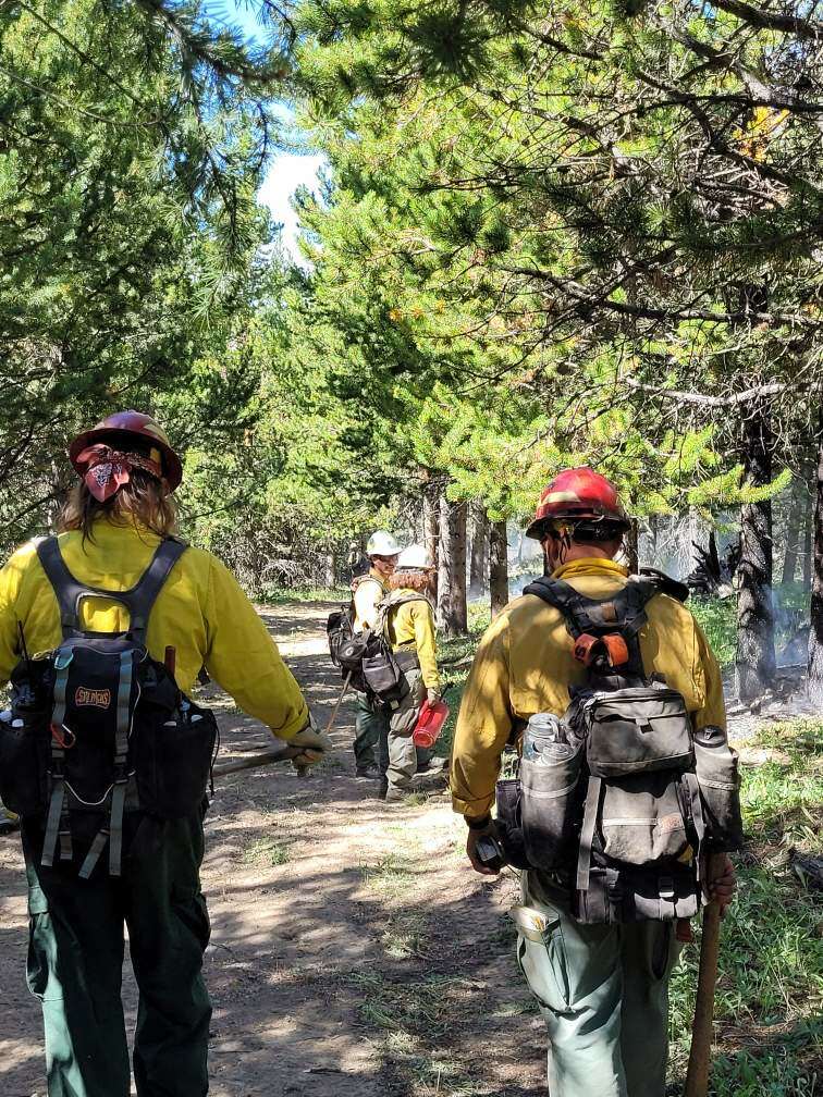

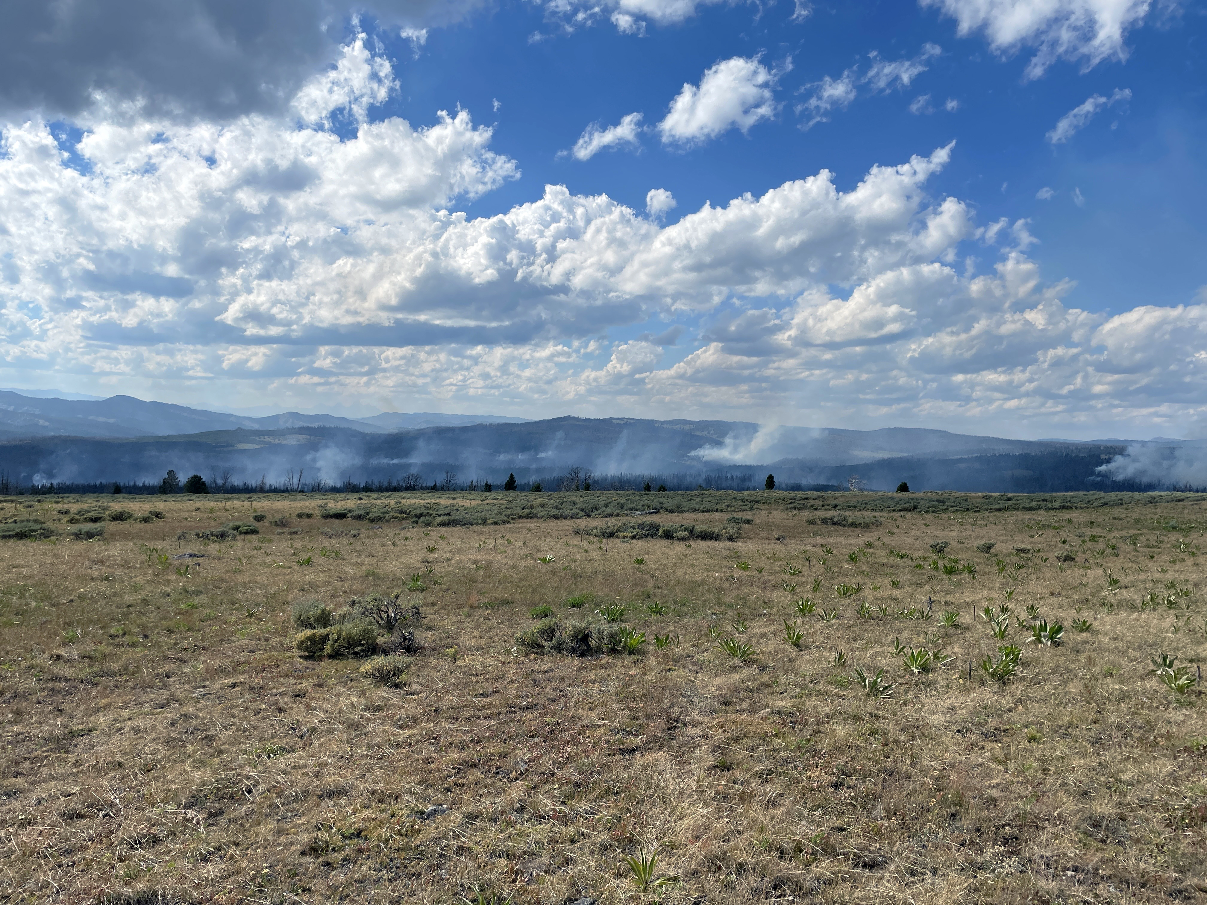
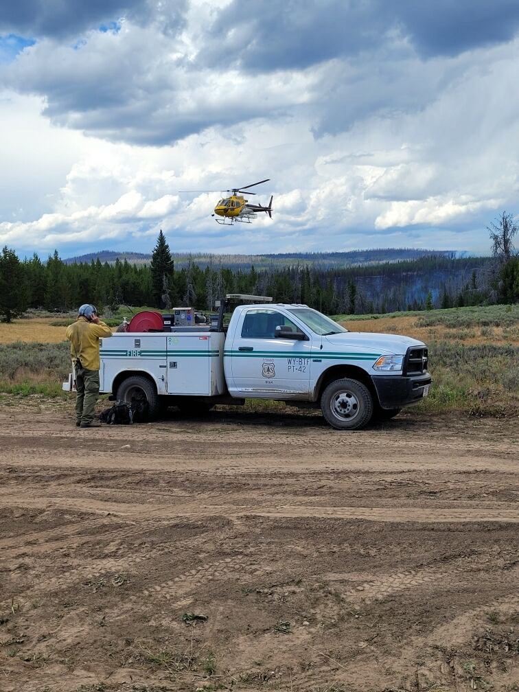
The 780-acre Leeds Creek Fire is currently 75% contained and has received a significant amount of moisture over the last few days. Fire crews continue efforts to suppress the fire on the Pinedale Ranger District of the Bridger-Teton National Forest.
The Leeds Creek Area, Roads, and Trails Closure Order (map) has been established for public and firefighter safety. See full details at https://www.fs.usda.gov/alerts/btnf/alerts-notices. Union Pass Road and South Fork Fish Creek Trail remain open under this closure. A reroute for the Continental Divide Trail (CDT) has also been established. Visit the CDT Coalition’s Closures and Alerts webpage to learn more at https://cdtcoalition.org/closures-and-alerts/.
| Current as of | Tue, 08/20/2024 - 18:07 |
|---|---|
| Incident Time Zone | America/Denver |
| Incident Type | Wildfire |
| Cause | Undetermined |
| Date of Origin | |
| Location | 16 Miles Southwest of Dubois, WY |
| Incident Commander | E. Hawes/ ICT4 K. Knapp / ICT4(t) |
| Coordinates |
43° 30' 24'' Latitude
-109° 59' 54
'' Longitude
|
| Total Personnel: | 9 |
|---|---|
| Size | 780 Acres |
| Percent of Perimeter Contained | 75% |
| Estimated Containment Date | 08/31/2024 |
| Fuels Involved | Heavy Logging Slash and Timber (Litter and Understory) |
| Significant Events | Minimal creeping and smoldering |
| Planned Actions |
Continue to secure direct handlines and begin suppression/repair work. |
|---|---|
| Projected Incident Activity |
12 hours: Chance of thunderstorms and higher gusts. Minimal concerns with any fire spread. 24 hours: Chance of thunderstorms and higher gusts. Minimal concerns with any fire spread. 48 hours: Chance of thunderstorms. Minimal concerns. 72 hours: Slight chance of thunderstorms. Minimal concerns. Anticipated after 72 hours: Slight change of thunderstorms. Minimal concerns. |