U.S. flag

An official website of the United States government

Here's how you know

Single Incident Information

Zoom to your location
Reset map zoom and position

Could not determine your location.

Williams Mine Fire-GPNF

Unit Information

1501 E. Evergreen Blvd. 
Vancouver, 
98682 
1501 E. Evergreen Blvd. 
Vancouver, 
98682 

Incident Contacts

Williams Mine Fire Information
Email: 2024.williamsmine@firenet.gov
Phone: 509-213-5684
Hours: 8 a.m. to 8 p.m. daily

Highlighted Activity

Forest Order: 06-03-03-24-02 Williams Mine Area and Road ClosureGIFFORD PINCHOT NATIONAL FORESTMount Adams Ranger District Trout Lake, WashingtonWILLIAMS MINE AREA AND ROAD CLOSUREPursuant to 36 CFR 261.50(a), the following acts are prohibited on the area described in this order and depicted on Exhibit A, within and/or administered by the Gifford Pinchot National Forest, Mount Adams… Read more
Publication Type: Closures -
Williams Mine Fire Update for Tuesday, August 13, 2024 KEY MESSAGES:  Scooper planes continue to dip out of Swift Reservoir and the Columbia River between Memaloose Island and Lyle, Washington. Members of the public should be aware that scooper planes could approach and dip out of these water sources at any time as weather conditions allow for aviation operations. Firefighters have… Read more
Publication Type: News -

Smoke billowing from the Williams Mine Fire, with Mt. Adams behind it 8-11-24

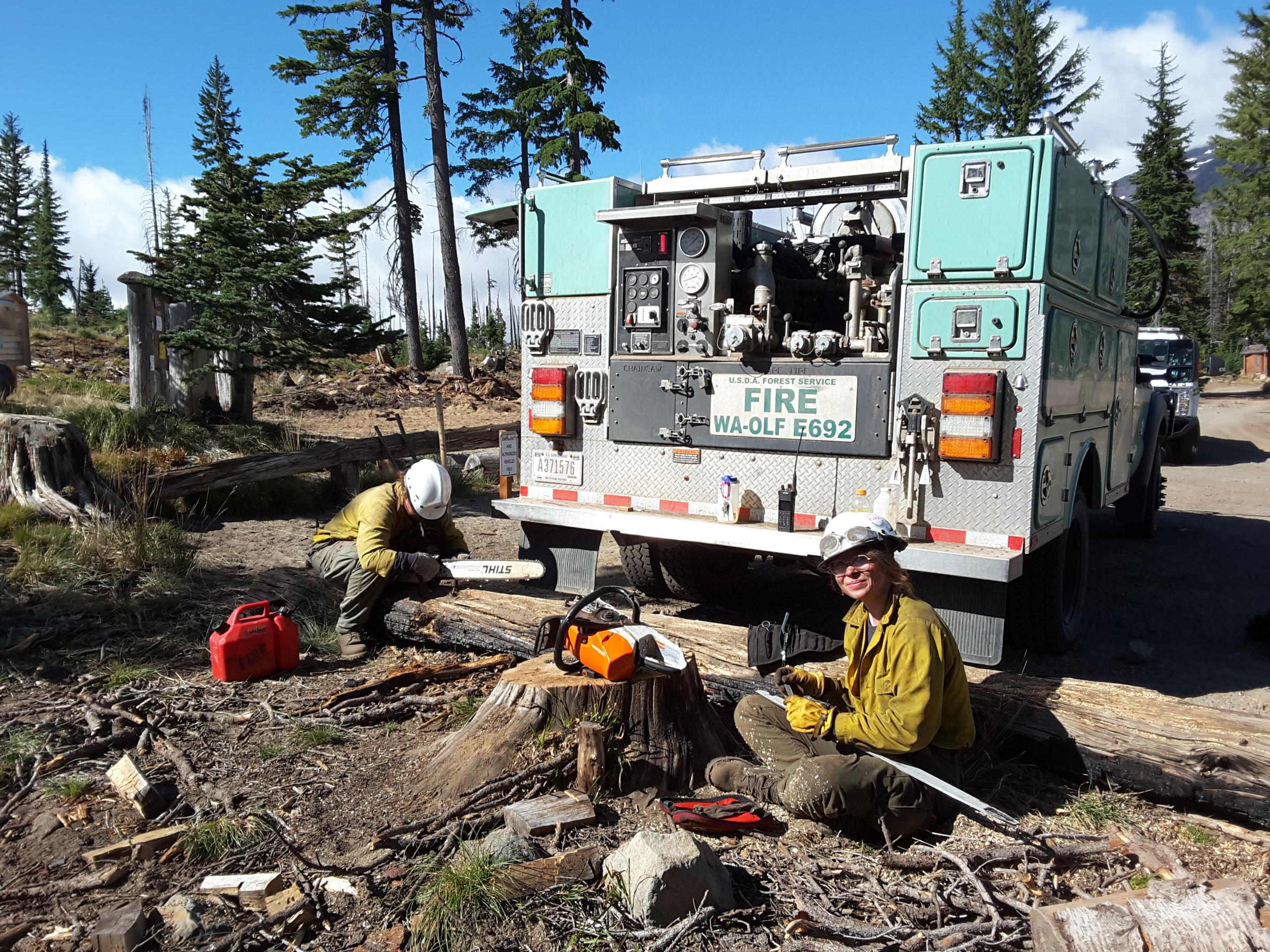
The Williams Mine Fire was caused by lightning and is burning in and near the Mt. Adams Wilderness of the Gifford Pinchot National Forest. 

Complex Incident Management Team Northwest 13 took command of the Williams Mine Fire on 8/10/2024 at 6:00 a.m. 

Basic Information
Current as of Wed, 08/14/2024 - 00:05
Incident Time Zone America/Los_Angeles
Incident Type Wildfire
Cause Lightning/Natural
Date of Origin
Location 3.5 miles NNW of Trout Lake WA
Incident Commander Brian Gales, Incident Commander
Eric Riener, Deputy Incident Commander
Complex Incident Management Team Northwest 13
Coordinates 46° 10' 30'' Latitude
-121° 36'
6
'' Longitude
Current Situation
Total Personnel: 471
Size 10,968 Acres
Percent of Perimeter Contained 0%
Estimated Containment Date 10/31/2024
Fuels Involved

Brush (2 feet)

Timber (Grass and Understory)

Light Logging Slash

The primary carrier of the fire is brush, a product of the 2012 Cascade Creek and 2015 Cougar Creek fires. The primary carrier of the fire outside of the fire scar will be down and dead woody material, needle litter or brush. 

Significant Events

Active

Running

Group Torching

Spotting

This fire lies on the south, southeast and southwest slopes of Mount Adams in the Gifford Pinchot National Forest. Outside of major streams, such as Cascade Creek and the White Salmon River, the topography is relatively gentle. Typical slopes range from 15-35%. Initial fire progression was NW to SE towards the community of Trout Lake. Fire progression during the initial stages was wind driven through light brushy fuels in the Cascade Creek Fire scar of 2012. As fire progresses into managed timber lands, fire progression drops but intensity increases. Wind is driving progression with afternoon spotting.

Outlook
Planned Actions

Direct tactics and close indirect actions with an active, tactical night shift focusing on control lines and holding success. All applied resources will be utilized only where successful outcomes are probable. 

Projected Incident Activity

24 hours: West winds and warmer conditions will support active to very active fire behavior. Fire expected to advance primarily to the east.

Current Weather
Weather Concerns

West/northwest winds sustained at 10 mph and gusting to 20 mph continued Tuesday, though most of the fire perimeter has been above 50% RH for over 36 hours. Winds are forecast to subside on Wednesday as a transient upper-level ridge passes through the Pacific Northwest. Warming and drying conditions are expected to accompany the ridge passage, but the primary weather concern will become a threat of thunderstorms beginning on Thursday afternoon and continuing Saturday and Sunday. Any thunderstorms that form during this period will be capable of producing wetting rain, but previous unstable periods have also resulted in active to extreme fire behavior on this incident. Afternoon RH values will begin to fall back to 35-40% starting Thursday.