
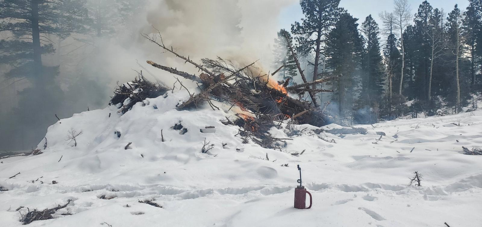
Fire crews are treating piles created from over 500 acres of thinning about five miles southeast of Hopewell Lake.
The piles are part of the Rio Tusas-Lower San Antonio Landscape Restoration Project, which seeks to conserve and restore the area's landscape to increase forest ecosystem sustainability and resiliency to natural disturbances, such as drought and climatic variability, insects, disease, fire and wind.
The project is part of a larger effort called the Rio Chama Collaborative Forest Landscape Restoration Project, which spans 3.8 million acres in Northern New Mexico and Southern Colorado. Project work by the Forest Service and partners is addressing forest and watershed health, which is tied to water used in downstream communities.
(Photo: A pile in the Willow Unit in November 2024)
| Current as of | Wed, 11/20/2024 - 11:50 |
|---|---|
| Incident Type | Prescribed Fire |
| Date of Origin | |
| Location | Near Forest Roads 91 and 712 |
| Coordinates |
36° 39' 47'' Latitude
-106° 09' 44
'' Longitude
|
| Size | 300 Acres |
|---|