
Highlighted Activity
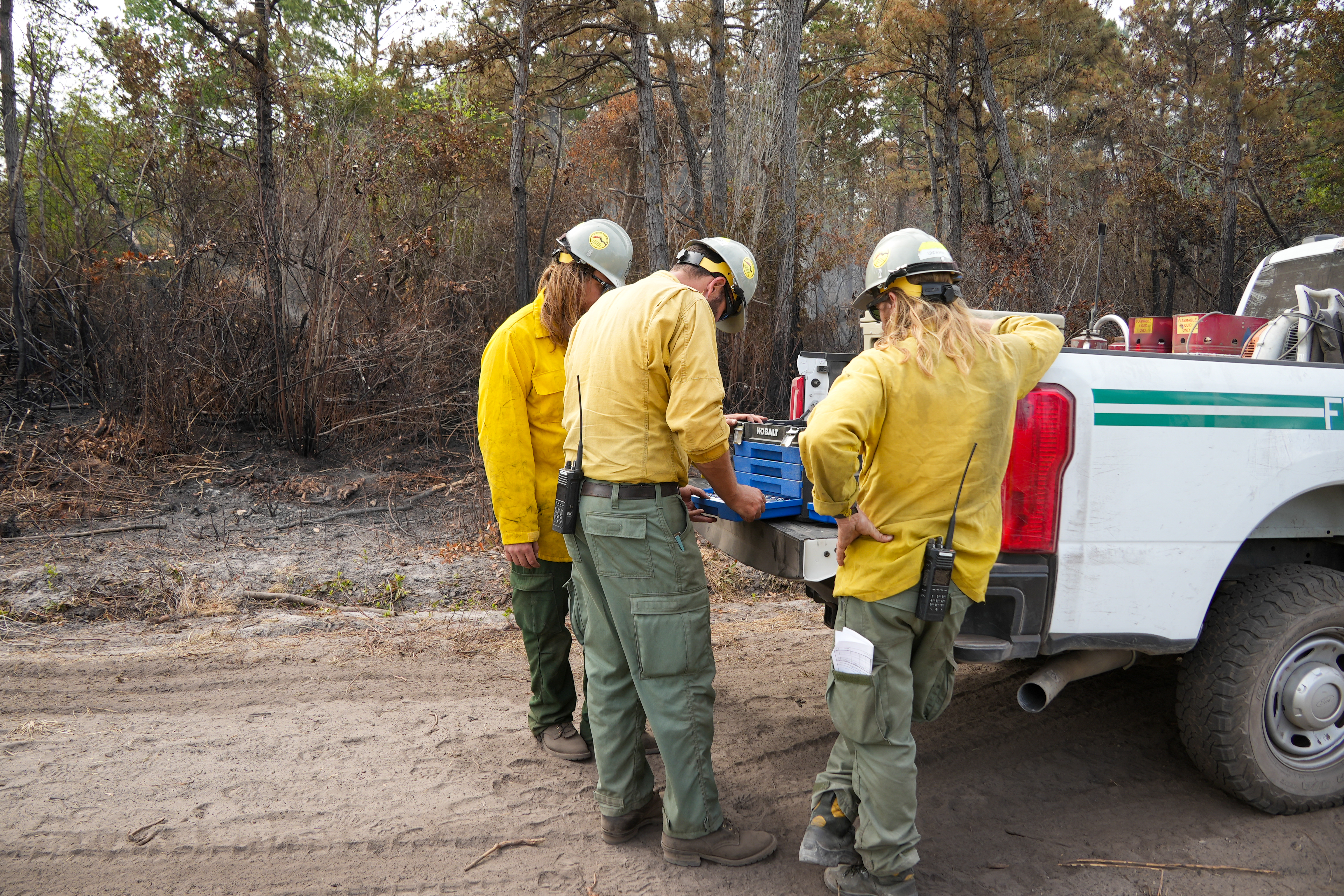
NEW BERN, N.C., May 29, 2025 – The Black Swamp Fire is now 100% contained at 950 acres thanks to the dedicated efforts of the USDA Forest Service and partner agencies, including the North Carolina Forest Service, U.S. Fish and Wildlife, North Carolina Wildlife Resource Commission and the National Park Service.
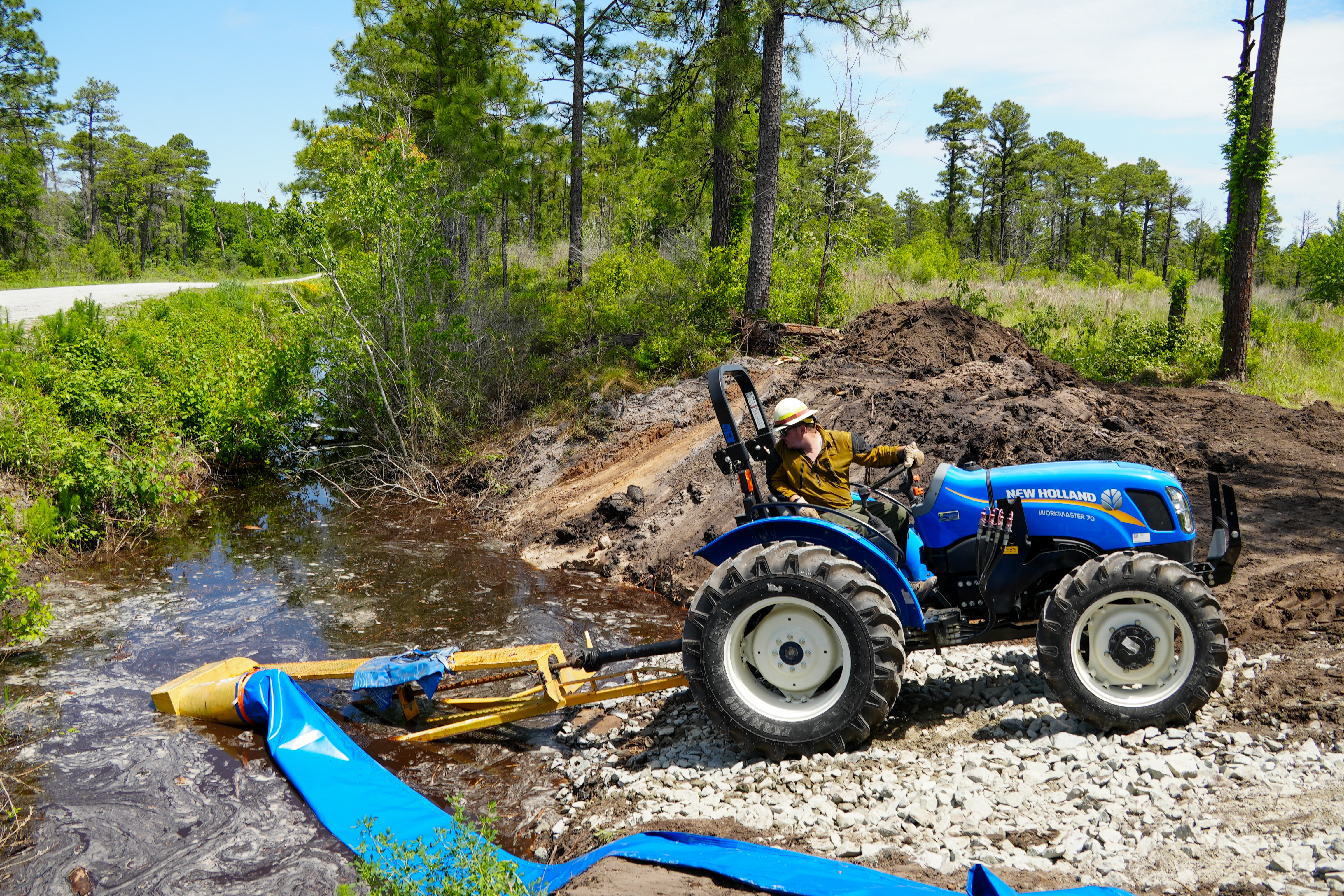
A system of dams, pumps, and canals have fully submerged and surrounded the perimeter of the fire, effectively holding it in place. Crews will continue to work on site to implement repairs and rehabilitate roads damaged during suppression efforts.
Due to continued work, closures remain on Black Swamp Road, the Black Swamp OHV area, Great Lake Boating Access Area and Sheep Ridge Wilderness Area, as well as portions of Great Lake Road, Seaborn Road and Holston Hunter Road. To see the full closure order and map, visit https://www.fs.usda.gov/r08/northcarolina/alerts/black-swamp-fire-area-closure
For the latest wildfire updates, follow the National Forests in North Carolina on Facebook at U.S. Forest Service - National Forests in North Carolina or visit https://www.fs.usda.gov/r08/northcarolina
| Current as of | Thu, 05/29/2025 - 13:32 |
|---|---|
| Incident Time Zone | Eastern Standard Time |
| Incident Type | Wildfire |
| Cause | Undetermined |
| Date of Origin | |
| Incident Time Zone | Eastern Standard Time |
| Location | Jones County, 6 miles SE of Maysville, NC |
| Incident Commander | IC Craig Howells, BLM |
| Incident Description | Smoldering, flanking, creeping, isolated torching |
| Coordinates |
34° 51' 45'' Latitude
-77° 6' 51
'' Longitude
|
| Size | 950 Acres |
|---|---|
| Percent of Perimeter Contained | 100% |
| Fuels Involved | Chaparral (6 feet), Southern Rough |
| Planned Actions |
Crews will continue to work on site to implement repairs and rehabilitate roads damaged during suppression efforts. |
|---|