
Highlighted Activity
Highlighted Media
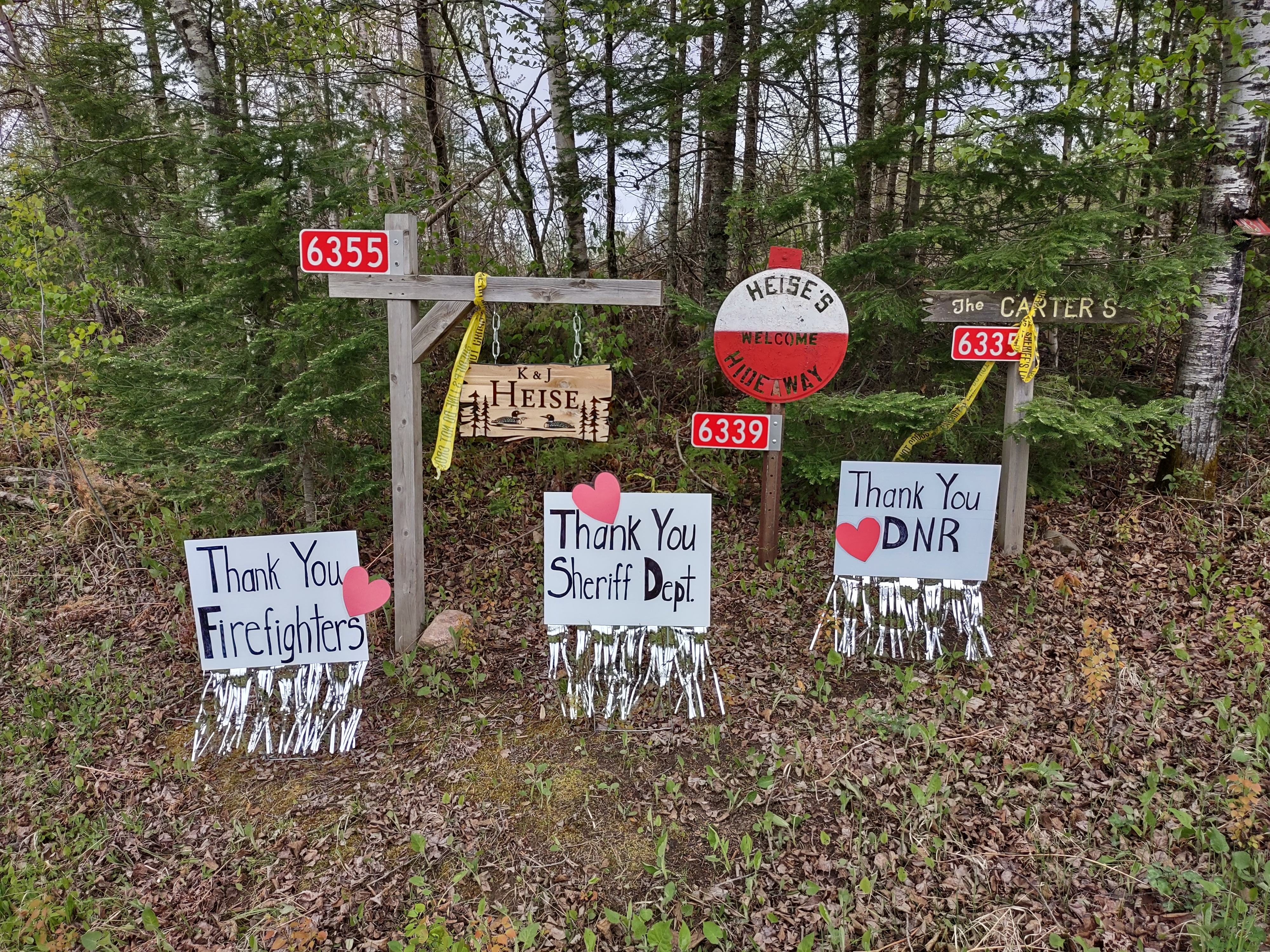
Thank you signs for firefighters, Sheriff's office and Minnesota Department of Natural Resources
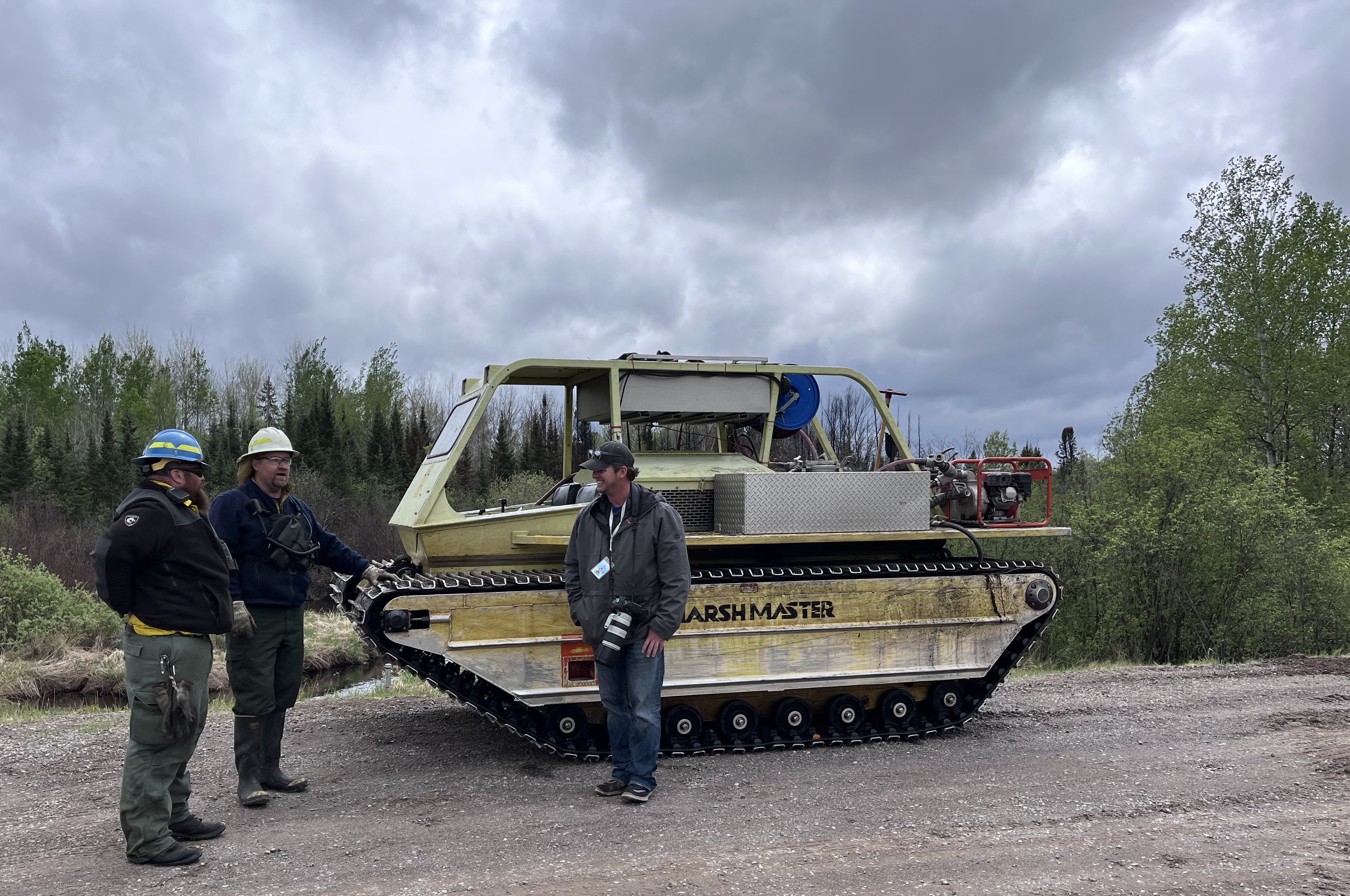
An amphibious tracked vehicle used on the Munger Shaw Fire
The Munger Shaw wildfire is located approximately ten miles southeast of Cotton, Minnesota. The fire was detected May 12, 2025.
The Minnesota DNR will continue monitoring and patrolling the fire area. While the fire is largely contained, smoldering hotspots within the fire’s interior may continue to smolder and produce smoke until the fire area receives sufficient precipitation.
| Current as of | Wed, 05/21/2025 - 12:31 |
|---|---|
| Incident Time Zone | Central Standard Time |
| Incident Type | Wildfire |
| Cause | Undetermined |
| Date of Origin | |
| Incident Time Zone | Central Standard Time |
| Location | Southeast of Cotton and 2 miles East of Elora Lake |
| Incident Commander | Cloquet Area DNR Forestry |
| Coordinates |
47° 04' 49'' Latitude
-92° 20' 38
'' Longitude
|
| Total Personnel: | 9 |
|---|---|
| Size | 1,259 Acres |
| Percent of Perimeter Contained | 95% |
| Estimated Containment Date | 5/28/2025 |
| Fuels Involved | Timber (litter and understory) in pine, timber and lowland fuels. |
| Significant Events | Isolated smoldering |
| Planned Actions |
Patrol the fire and mop up isolated hot spots. |
|---|---|
| Projected Incident Activity |
12 hours: No growth anticipated. Fire is turned back to the local forestry district and the IMT3 demobilized 24 hours: No growth anticipated 48 hours: No growth anticipated. 72 hours: No growth anticipated Anticipated after 72 hours: No growth anticipated |
| Remarks |
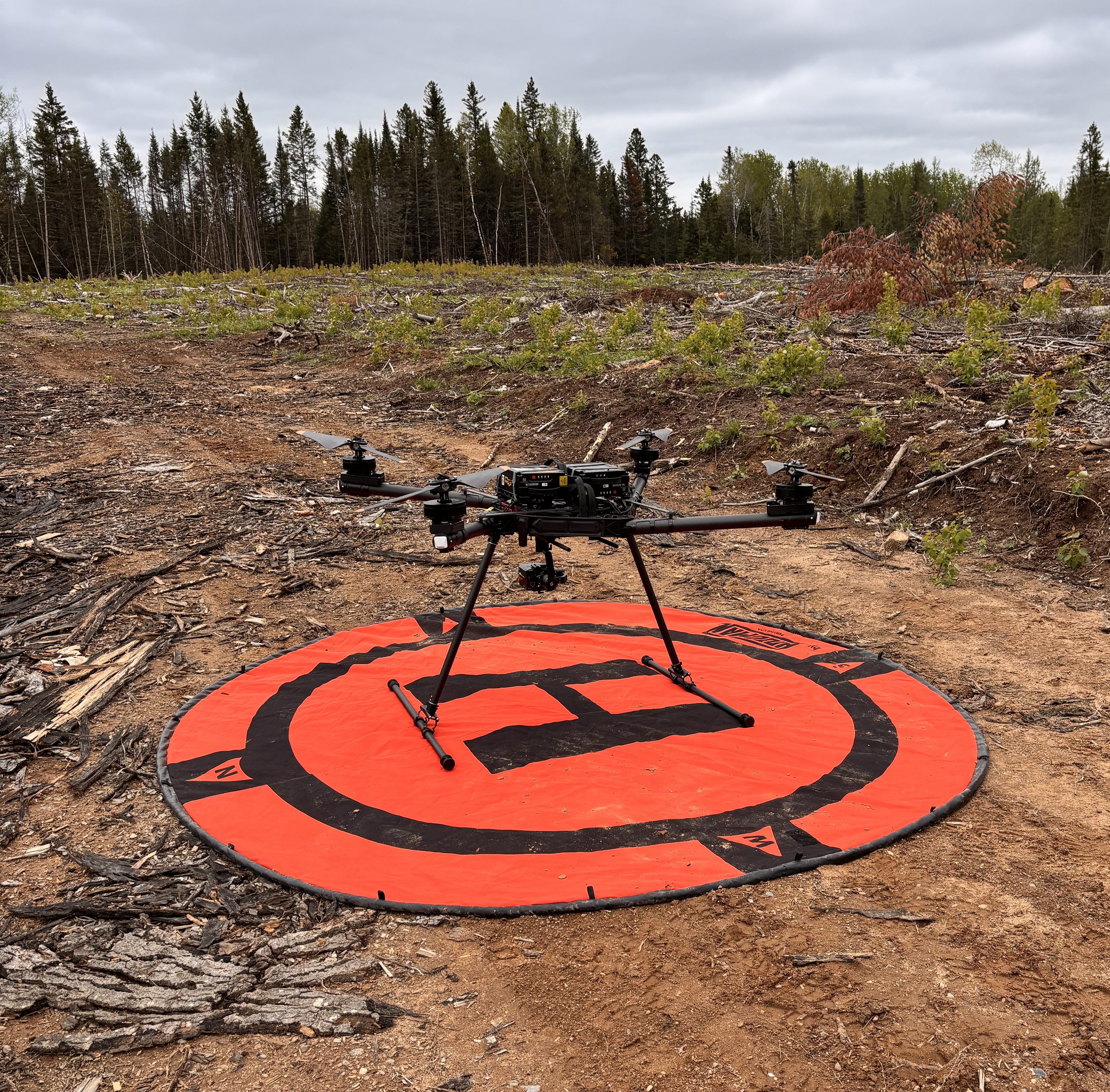
Acreage change due to accurate mapping from UAS. |
| Weather Concerns | Lower temperatures continue along with high winds. Weather fire watch has been issued. |
|---|