Highlighted Media
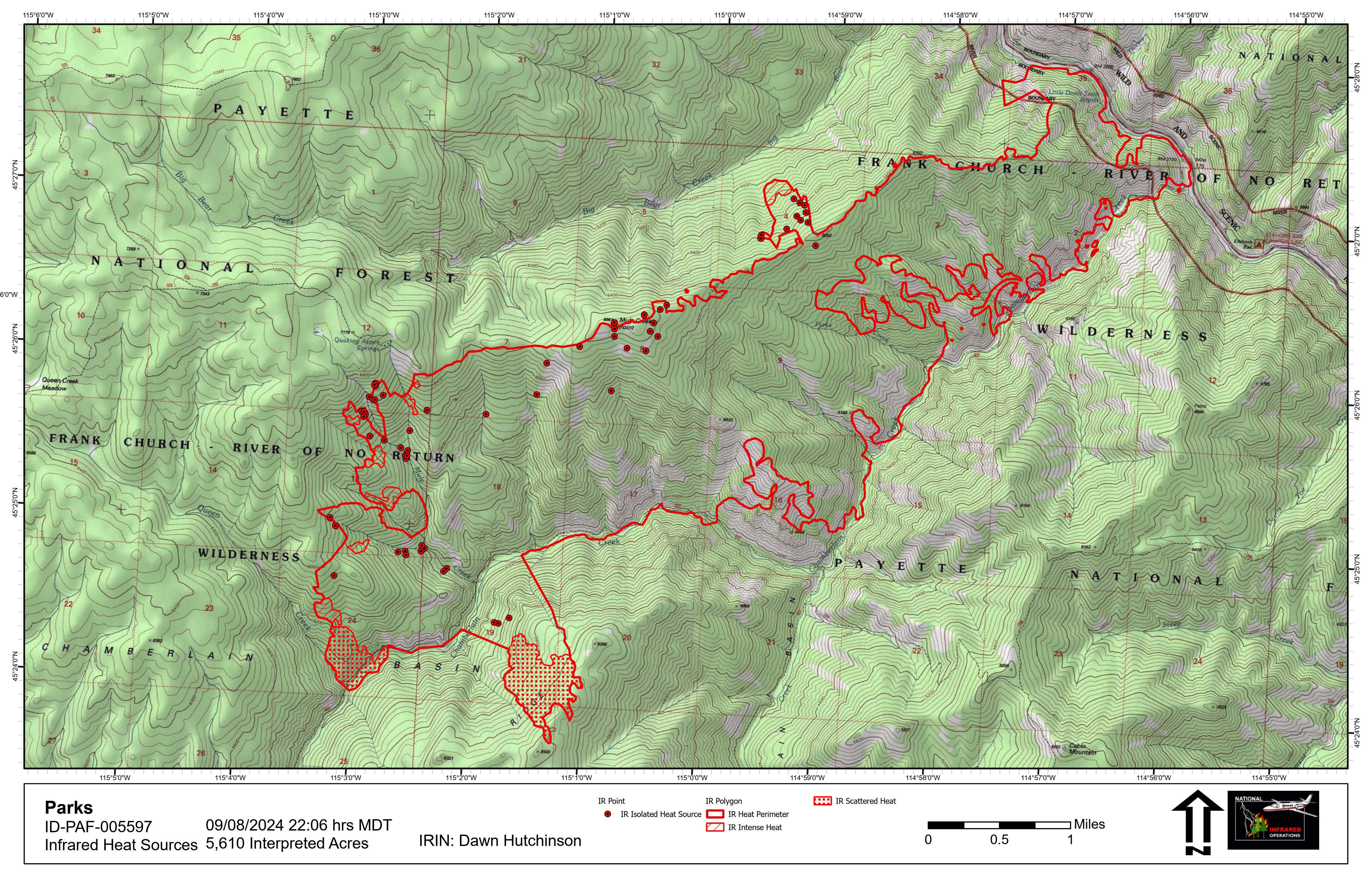
The Parks Fire is at 5,978 acres and located on the west side of lower Chamberlain Creek down to the Salmon River, and up to Mule Creek Point ridge, then southwest into Mule Creek and into Queens Creek. The cold front that brought strong gusty winds to the area on October 4th fanned the flames on the Parks Fire on the southwest flank. Since that time the fire has shown little to no growth on a regular basis. A weather system is moving over the fire this weekend that is expected to further reduce the potential for the fire to continue to grow.
Monitoring of this fire has shown that favorable effects are taking place across the burn area. The Chamberlain bridge structure protection measures have been removed and several firefighters hiked into Artic Point Lookout to unwrap the structure and all is well at the site. No damage was done to the bridge or the lookout facility. This fire is within the Frank Church River of No Return Wilderness. This fire is using a Zone/Point protection strategy while allowing this lightning caused to play, as nearly as possible, its natural ecological role within the Wilderness.
- No area or trail closures are in place for this fire - people recreating in this area need to be alert for fire related hazards.
- For any concerns regarding to rafting along the Salmon River, call the Salmon-Challis National Forest River Desk at 208-481-2625.
For a summary of wildfires burning in the Payette National Forest's part of the Frank Church River of No Return Wilderness, visit this Inciweb link.
| Current as of | Tue, 10/22/2024 - 17:17 |
|---|---|
| Incident Type | Wildfire |
| Coordinates |
45° 26' 69'' Latitude
-114° 58' 43
'' Longitude
|
| Size | 5,978 Acres |
|---|

 InciWeb
