Highlighted Media

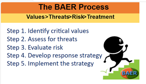
The Burned Area Emergency Response team follows these general five steps to determine the appropriate strategy for emergency stabilization.
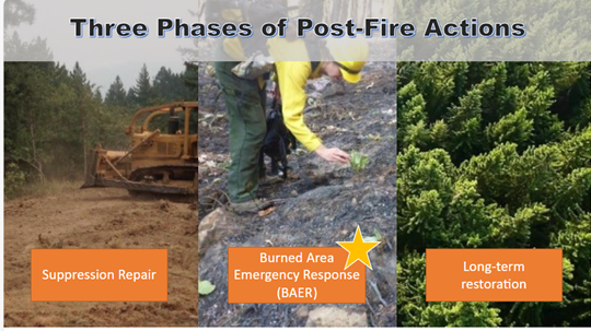
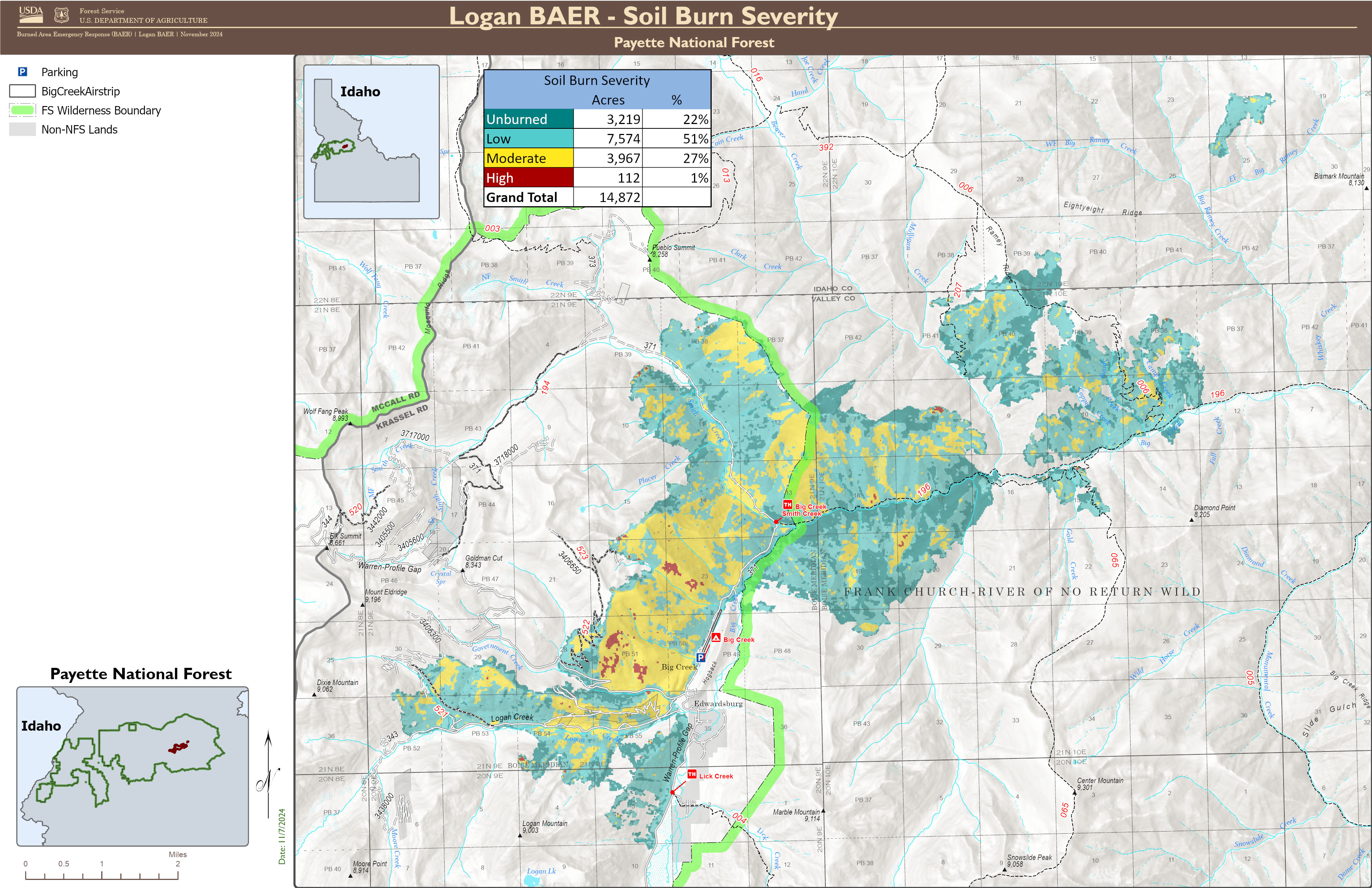
The Forest Service—Payette National Forest completed a Burned Area Emergency Response (BAER) post-fire assessment of the Logan burned area and affected watersheds to determine their response, soil conditions, potential threats, and recommended BAER emergency stabilization measures and actions on National Forest System (NFS) lands. BAER emergency treatments and activities are designed to decrease possible impacts to critical values from the burned areas during rainstorm events such as: human life and safety, property, critical natural resources, and cultural resources.
| Current as of | Wed, 12/04/2024 - 14:47 |
|---|---|
| Incident Type | Burned Area Emergency Response |
| Incident Description | The Logan Fire was started by lightning on September 8th, 2024, and burned 14,872 acres on the Krassel Ranger District of the Payette National Forest, including 7,207 acres of the Frank-Church River of No Return Wilderness (FCRONRW). Between September 8th and October 3rd, the Logan fire remained within a 400-acre footprint on a south facing hillslope in the Logan Creek subwatershed. On October 4th, a frontal passage impacted the fire area, creating a wind-driven fire event that burned over 8,000 acres in one day. The fire burned over nine miles during the event, moving quickly through the canopy. While many wildfires cause minimal damage to the land and pose few threats to the land or people downstream, some fires result in damage that requires special efforts to reduce impacts afterwards. The Burned Area Emergency Response (BAER) program is designed to identify and manage potential risks to resources on National Forest System lands and reduce these threats through appropriate emergency measures to protect human life and safety, property, and critical natural or cultural resources. BAER is an emergency program for post-fire stabilization work that involves time critical activities to be completed before damaging events to meet program objectives. |
| Coordinates |
45° 10' 58'' Latitude
-115° 19' 35
'' Longitude
|

 InciWeb

