

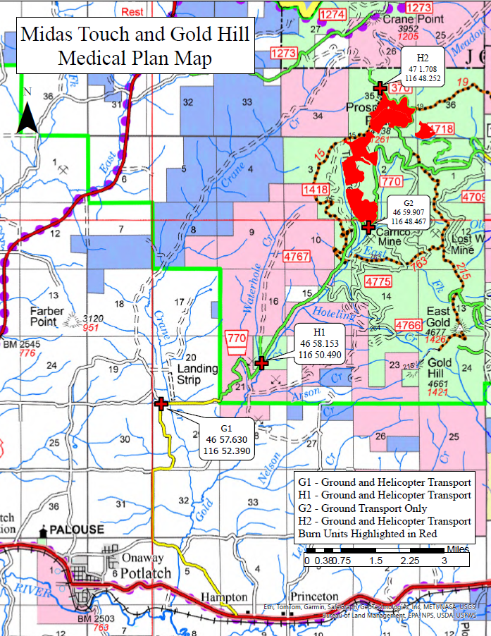

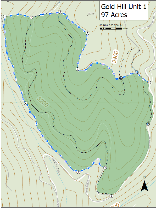

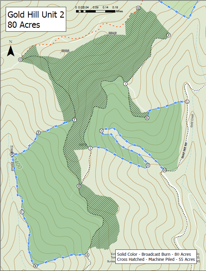
This project is located 8.5 miles Northeast of Potlatch near Prospect Peak. Forest Service Road #770 is used to access the Goldhill units and Forest Service Road #370 is used to access the Midas Touch Units. The purpose of these planned prescribed fire units is to reduce the hazardous fuels generated by recent timber harvest activities.
| Current as of | Tue, 04/29/2025 - 15:45 |
|---|---|
| Incident Type | Prescribed Fire |
| Location | 8.5 miles Northeast of Potlatch near Prospect Peak |
| Incident Commander | Palouse Ranger District Fire Management Program |
| Coordinates |
46° 59' 54'' Latitude
-116° 48' 28
'' Longitude
|
| Fuels Involved | Logging slash |
|---|---|
| Significant Events | Approximately 200 acres of activity generated fuels (logging slash) have been successfully treated as of 04/28/25 |
| Projected Incident Activity |
Ignitions will occur when environmental conditions meet the prescription requirements from the burn plan. Units will be burned until the unit is complete, or environmental conditions force the stop of firing actions. |
|---|---|
| Remarks |
Smoke will be easily visible by the surrounding communities in the Potlatch area of Latah County as well as from the highway 6 and highway 95 corridors. Overnight smoke can be expected to settle into the Palouse River drainage for the initial 2-3 days following firing operations but is expected to disperse quickly under the current spring weather pattern. |