
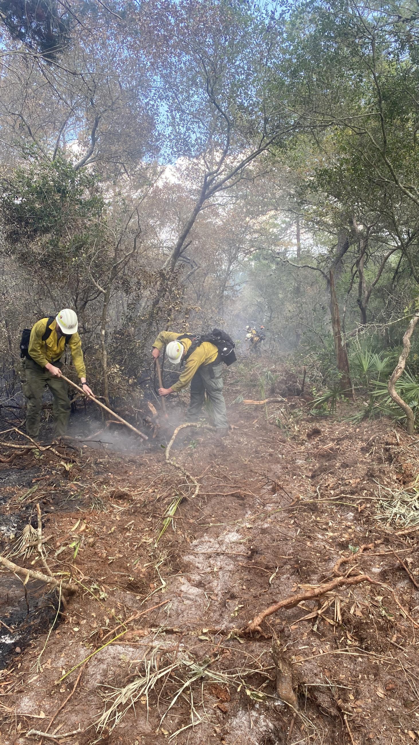
The Major Fire, located within Ocala National Forest, was discovered on April 27, 2023, after a lightning storm swept through the area that afternoon, igniting the fire. Due to dry, windy conditions, fire activity increased, with the largest day of growth On May 10th, spreading north and west. It was typically smoldering with slow growth. However , with changing weather conditions, the fire became more active on May 18th, growing just over 1,000 acres. Several structures and cultural and heritage resources remain threatened, including the Sweetwater Cabin, Juniper Springs Cabin, and Pat’s Island. To protect public safety, several road and area closures are in place. For closure information, go to the Closures page.
On May 13, 2023, the Southern Area Blue Team Incident Management Team (IMT) assumed command of the fire, transitioning from a local Type 3 IMT. Dry fuels and changing weather conditions may cause additional spread. Fire managers monitor and assess fire conditions to develop and implement a suppression strategy. Crews are currently performing structure protection and holding and improving lines. Smoke may be visible in the surrounding area as weather conditions change.
Public resources:
| Current as of | Thu, 05/25/2023 - 20:04 |
|---|---|
| Incident Type | Wildfire |
| Cause | Lightning/Natural |
| Date of Origin | |
| Location | 10 miles northwest of Astor, Florida |
| Incident Commander | Patrick Pearson Southern Area Blue IMT |
| Incident Description | Wildfire |
| Coordinates |
29° 13' 47'' Latitude
-81° 41' 20
'' Longitude
|
| Total Personnel: | 224 |
|---|---|
| Size | 4,952 Acres |
| Percent of Perimeter Contained | 95% |
| Estimated Containment Date | 06/07/2023 |
| Fuels Involved | Southern Rough, Chaparral (6 feet) |
| Significant Events | Observed Fire Behavior or Significant Events for the Time Period Reported (describe fire behavior using accepted erminology. For non-fire incidents, describe significant events related to the materials or other causal agents) Minimal |
| Planned Actions |
Contain within Wilderness boundary where possible with burnout operations. Suppress all new fires quickly to minimize growth. Mop up actions continue. |
|---|---|
| Projected Incident Activity |
12 Hours: Minimal 24 Hours: Predicted precipitation should moderate fire activity to smoldering in heavy fuels.
|
| Weather Concerns | Lift provided by an area of low pressure off the central Florida coast sent waves of scattered showers across the Major Fire this afternoon, but precipitation amounts were minimal. Due to the newly formed low, northeast flow has increased with speeds around 8-11mph and gusts in the upper teens. Temps rose into the low 80s with humidity falling to around 60%. Low pressure off the east coast of Florida will slowly lift northward toward the Carolinas through the weekend. Showers will wrap around the low and push over the fire Friday before drier air aloft overspreads the area in the wake of weak frontal passage. Warming and drying trends with mostly sunny skies and northerly breezes are expected from Saturday through early next week. |
|---|