Announcements News Photographs Maps
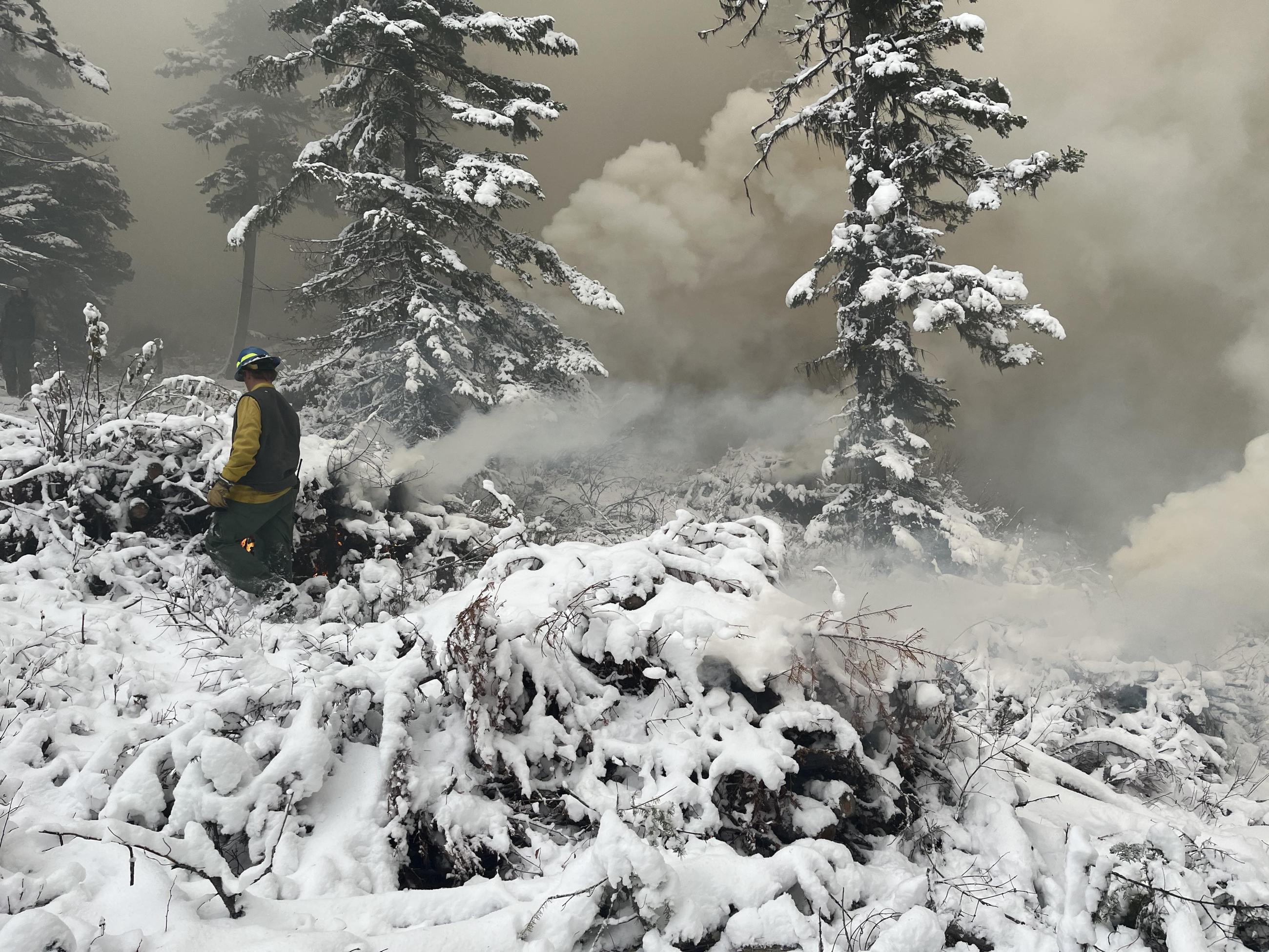
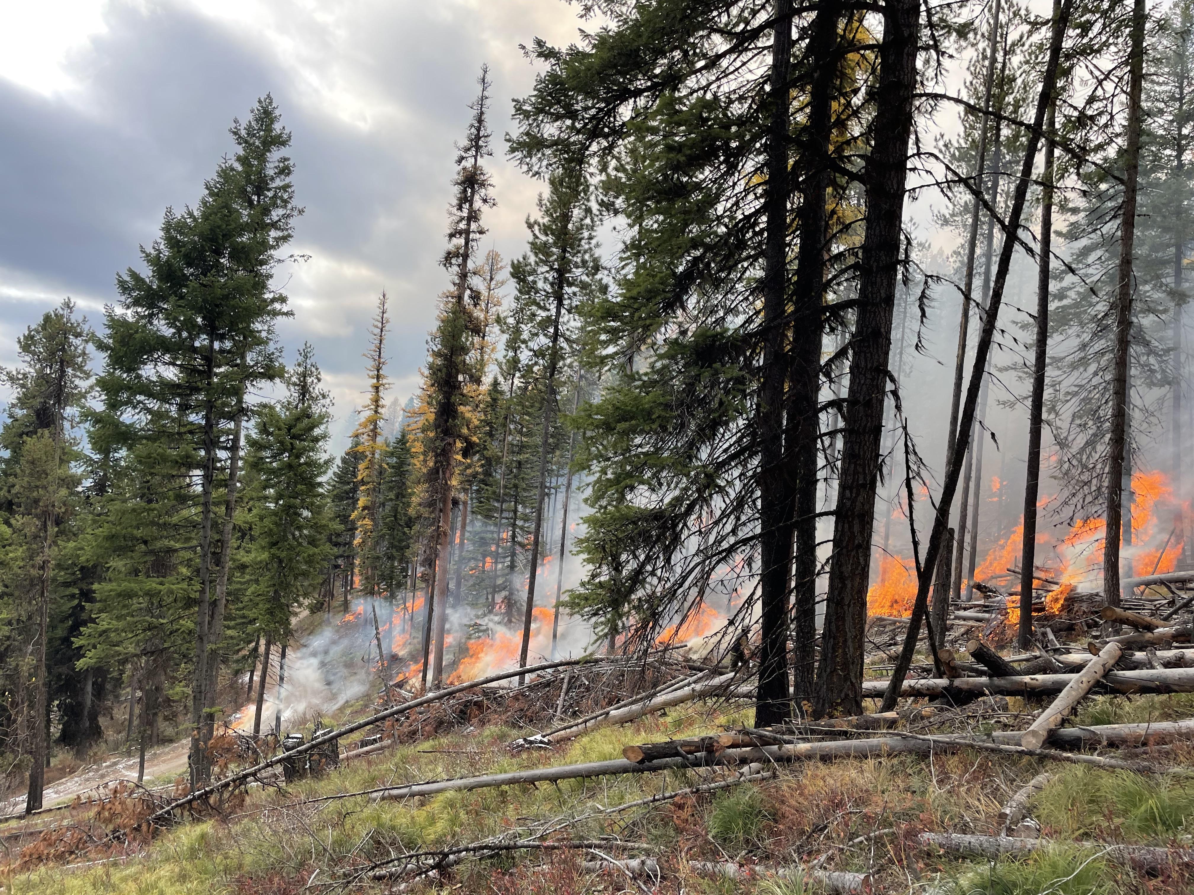
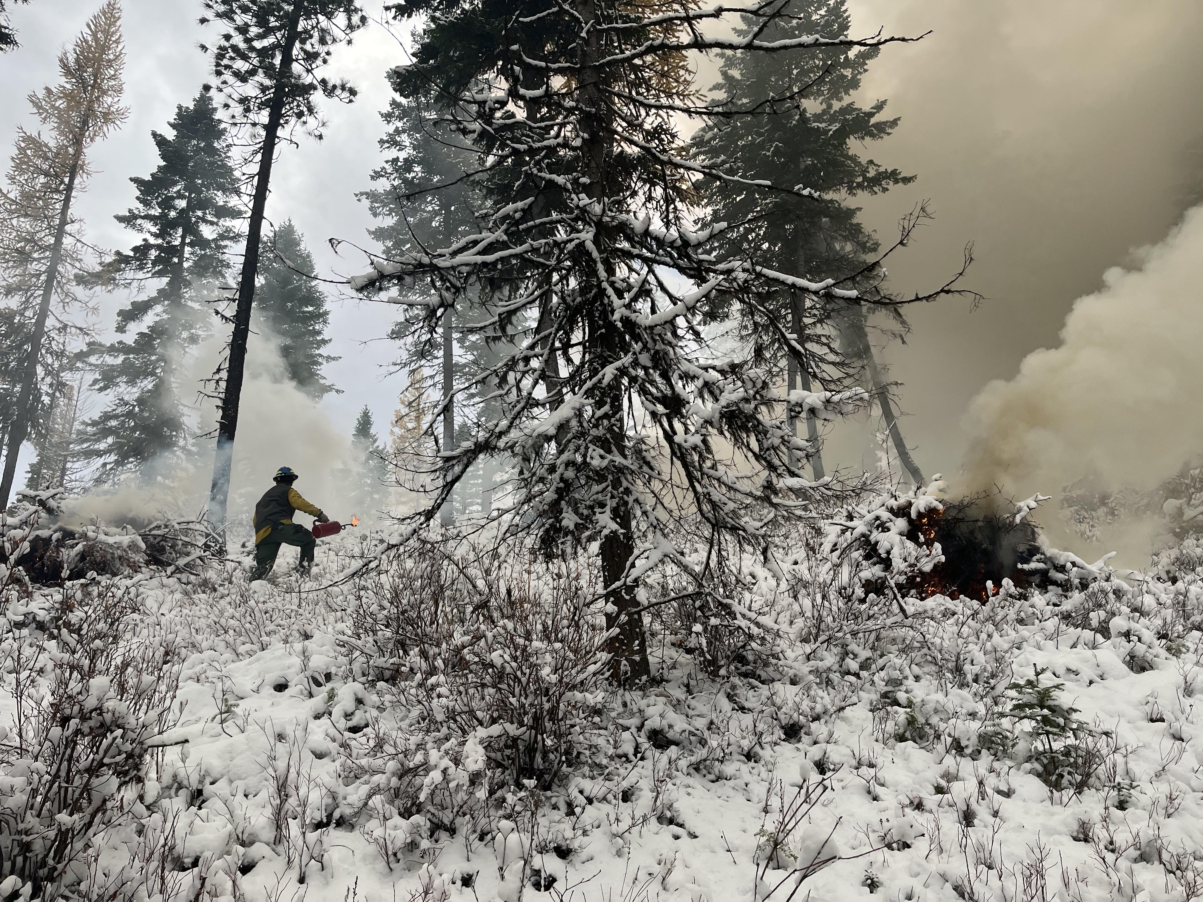
The Lolo National Forest, along with their interagency partners and neighbors, is preparing to implement fall prescribed fire projects across the forest. Prescribed fire is part of the Forest’s annual fire management program to reduce hazardous fuels, improve wildlife forage, and create conditions which minimize impacts from future wildfires around our communities.
Weather and conditions permitting, prescribed burns may occur this month (October) and continue through November. Planned prescribed fire operations include aerial and hand ignitions on up to 2,000 acres of underburning and pile burning in 12 project areas throughout the Lolo National Forest.
| Current as of | Thu, 12/19/2024 - 08:55 |
|---|---|
| Incident Type | Prescribed Fire |
| Date of Origin | |
| Location | Lolo National Forest |
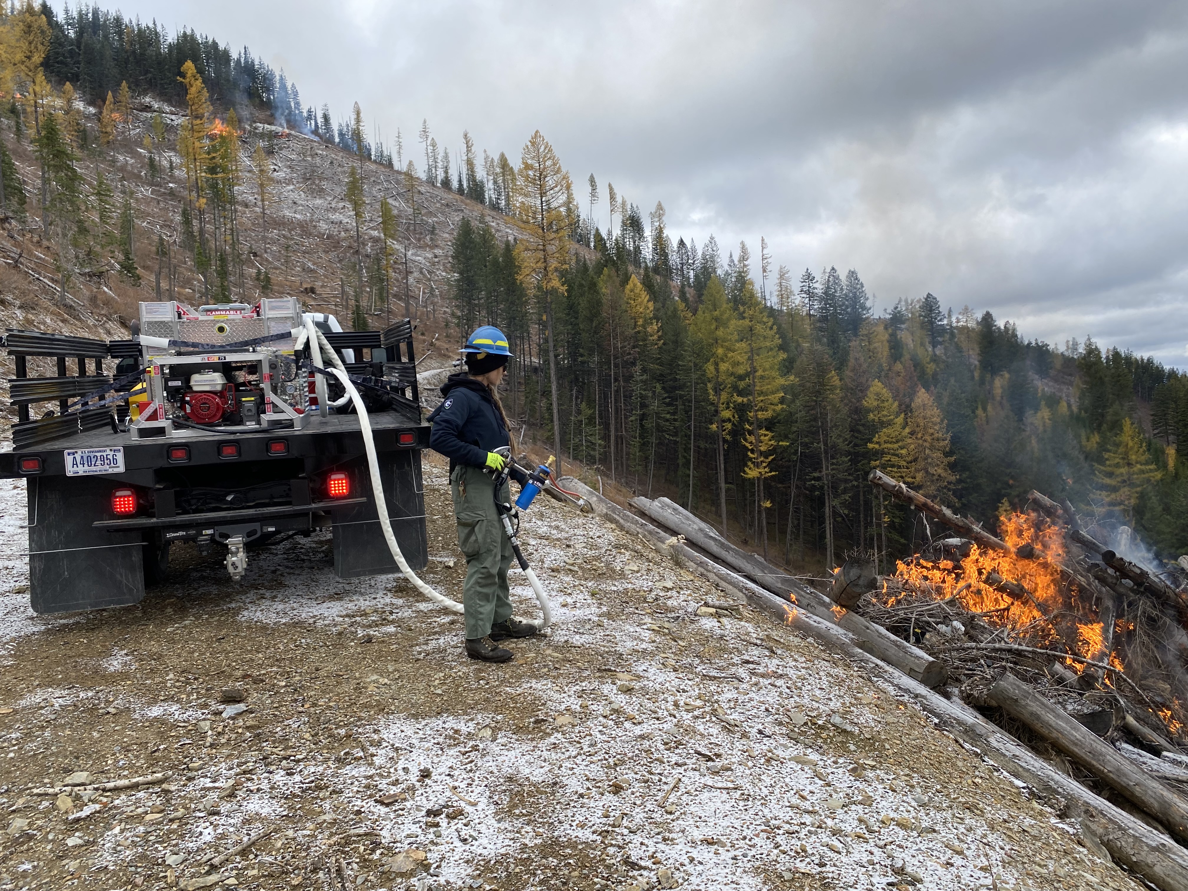
| Incident Description | Pile Burning: ignition of hand or machine piles of cut vegetation that have been allowed to dry out. Pile burning is commonly used to mitigate wildfire risk in areas where broadcast burning may not be feasible, such as adjacent to communities or private lands. Piles are made from the residual woody debris often left after a mechanical thinning treatment and can range in size from small hand stacked piles to large piles created with mechanical equipment. Piles are typically burned in fall, winter, or early spring after the piles have dried out and conditions allow, reducing the damage to the remaining trees and confining the majority of fire to the footprint of the pile. Underburning: a type of prescribed fire treatment, that ignites vegetation under the forest canopy and focuses on the consumption of surface fuels. |
| Coordinates |
46° 49' 76'' Latitude
-113° 55' 73
'' Longitude
|
| Remarks |
All prescribed fires will be implemented in compliance with Montana air quality standards and coordinated with the Montana Department of Environmental Quality and the appropriate county health departments to reduce the impacts of smoke to neighbors, cooperators, and surrounding communities. Smoke may settle in valley bottoms and drainages overnight, but it is expected to dissipate within a few days. Visit the Fire and Smoke Map by AirNow for the current smoke outlook. Daily planned ignitions can be found on line at the Airshed Management System website. |
|---|
| Weather Concerns | Prescribed fires are carefully planned and implemented in accordance with a written burn plan. Prior to implementation, local fire managers coordinate with local cooperators, counties, and partners. When prescription criteria are met, firefighters implement, monitor, and patrol each burn to ensure it meets forest health and public safety goals. |
|---|

 InciWeb


