Single Publication
UPDATE Prescribed Fire Operations April 25 04-25-2025
Publication Type: Announcement - 04/25/2025 - 13:05
UPDATE
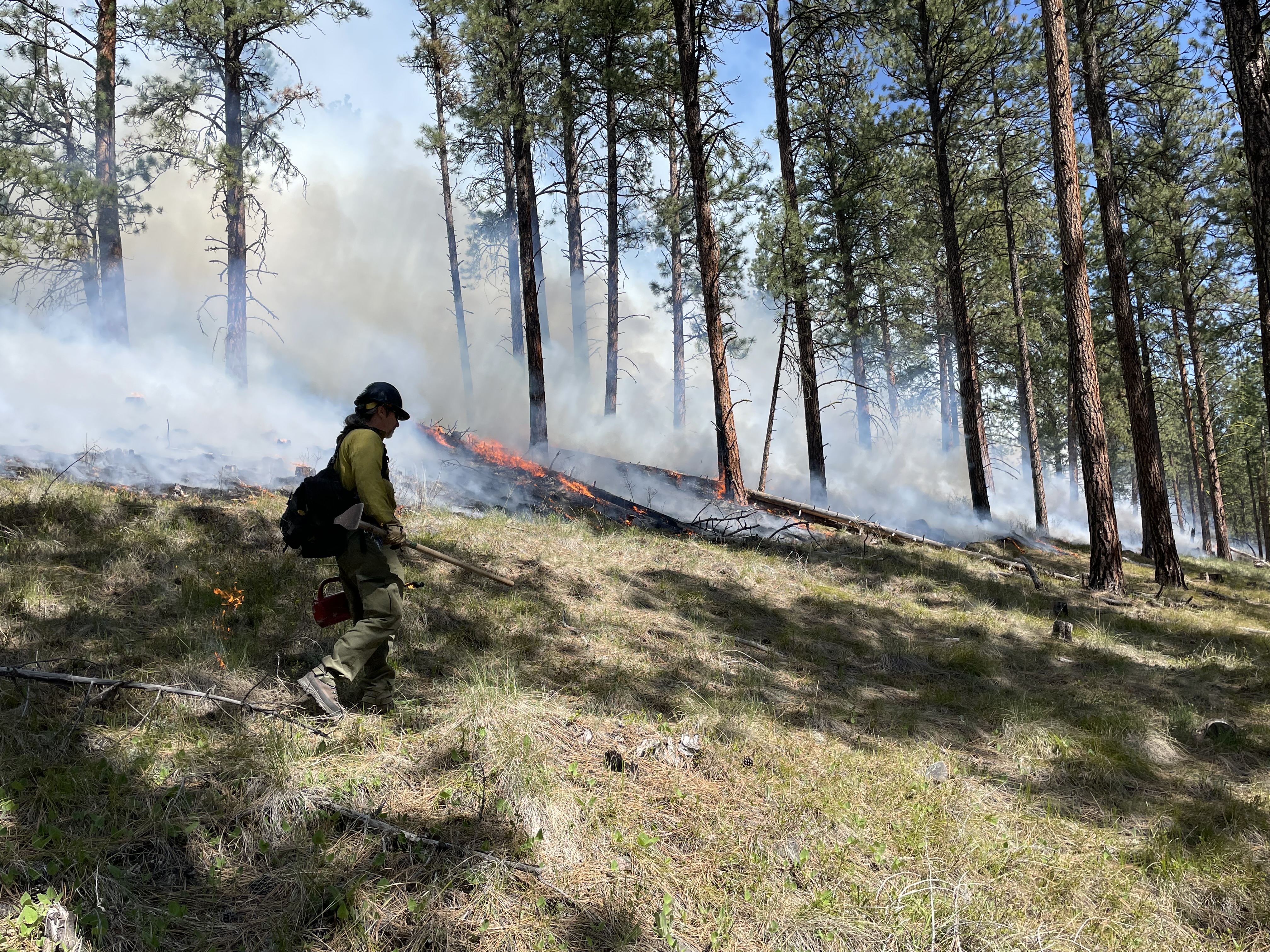
Missoula Ranger District- Blue Mountain: Firefighters completed ignitions on the Blue Mountain prescribed fire this afternoon (April 25). Smoke will likely be visible from Blue Mountain Road, Missoula, and surrounding area. Smoke may pool in lower elevations and along roadways during the evenings and early morning hours; impacts are expected to dissipate in a few days. Firefighters will remain on scene over the next few days.
Fire officials on the Lolo National Forest may implement prescribed fire operations today, as weather and fuels conditions allow.
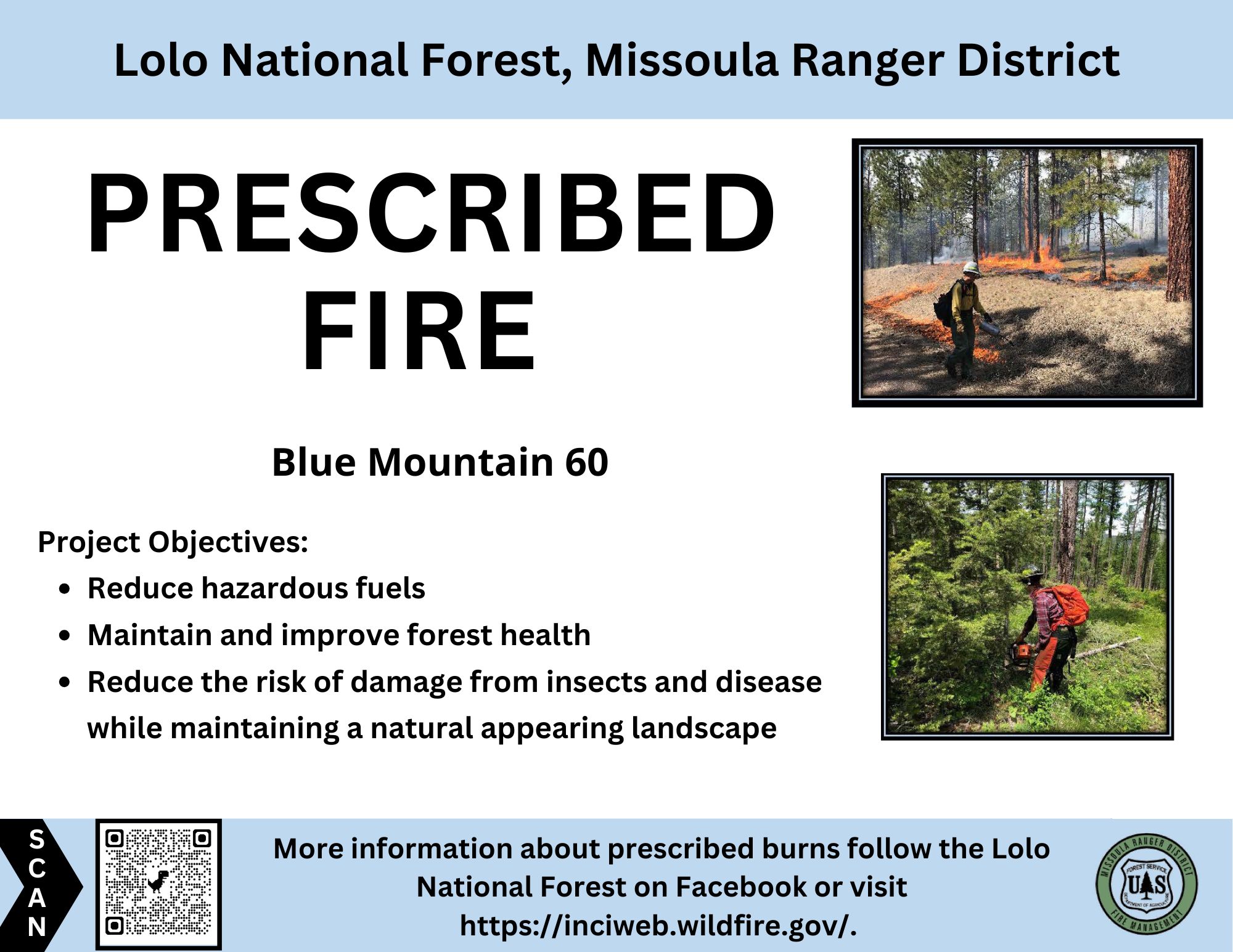
Missoula Ranger District: The Missoula Ranger Districts plans to burn up to 43 acres on the Blue Mountain Unit 60, adjacent to Forest Service Road 365 and Blue Mountain Road (see map). This understory prescribed burn is part of the Wildfire Adapted Missoula project.
The prescribed burn objective is to reduce hazardous fuels by helping to reduce the risk of severe, wildfires and provide long-term ecosystem health, and help improve wildlife habitat and native plant regeneration.
All burning will be weather and fuel condition dependent. If ignition takes place, there is potential the burning could limit public access in these areas. For public safety, recreationists are asked to be aware of fire crews and vehicles in all prescribed fire areas. Prescribed fire signs will be posted near Maclay Flats on Blue Mountain Road, at the junction of Blue Mountain Road and the locked gate at Forest Service Road 365, and at the Blue Mountain trailhead.
Please avoid traveling in proposed prescribed burn units as well as trails and roads directly adjacent to the units. Please exercise caution as roads and trails could be temporarily impacted by low intensity fire and smoke. Smoke may be visible from Highway 93, Blue Mountain, and surrounding area.
Plains/Thompson Falls Ranger District: Firefighters plan to conduct up to 85 acres of understory burning on the 2 Short units 6 miles west of Thompson Falls. Smoke may be visible from Thompson Falls.