
Fire managers on the Williams and Tusayan Ranger Districts of the Kaibab National Forest are planning to conduct prescribed fires throughout the spring of 2023 as conditions allow.
Exact ignition dates are unknown as burning is dependent upon daily agency administrator approval and conditions within the ranges outlined in each prescribed fire plan. However, we are committed to providing the public with ongoing updates and as much advance notice as possible. Sign up to receive Kaibab NF news releases in your email.
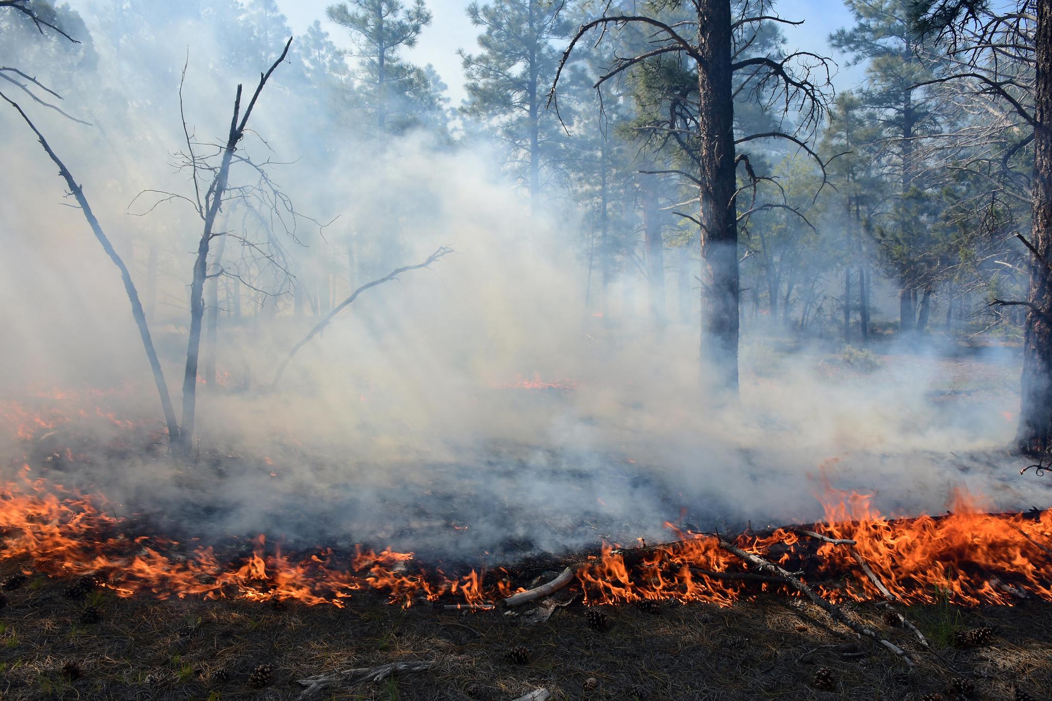
Our land management strategy is centered on long-term forest health, including reducing forest fuels and using prescribed fire on the landscape. Prescribed fires help reduce hazardous fuels that have accumulated due to drought, climate change, insects and disease, and decades of fire suppression. Fire also recycles nutrients back to the soil, promotes the growth of trees, wildflowers, and other plants, and improves habitat for threatened and endangered species. These efforts align with the Forest Service’s 10-year Wildfire Crisis Strategy which aims to increase prescribed fire and other treatments to improve forest resiliency for generations to come.
We recognize that smoke can impact residents, visitors, and our fire personnel. We will continue to coordinate closely with our partners and communities to minimize smoke impacts as much as possible. All prescribed fires on the Kaibab National Forest are subject to Arizona Department of Environmental Quality. The department’s Air Quality Division: Smoke Management webpage provides details about its air quality program.
Tusayan Ranger District
- Reed Project
- Location: Just east of Tusayan, AZ.
- Acres: Up to 1,370
- Notes: Tentative start Monday, May 1. Smoke may be visible from State Route 64, Tusayan, and the Grand Canyon and daytime winds should carry smoke northeast. Residual smoke will settle into drainages and low-lying areas around Tusayan overnight. The portion of the Arizona Trail that is nearby will remain open.
- Russell Project and Blue Stem Project
- Location: Located on the eastern side of the Tusayan Ranger District, 15-20 miles northeast of State Route 64 and Red Butte near Russell Tank;
- Acres: Russell 509 acres; Blue Stem up to 3,885 acres
- Notes: Minimal smoke impacts are expected
Williams Ranger District
- Marteen Project
- Location: Five miles northwest of Spring Valley, east of Red Hill.
- Acres: up to 4,200
- Notes: Smoke possible in the areas of Spring Valley Cabin and Forest Road 141.
| Current as of | Fri, 06/23/2023 - 12:23 |
|---|---|
| Incident Type | Prescribed Fire |
| Coordinates |
35° 55' 41.232'' Latitude
-112° 5' 45.6612
'' Longitude
|